Nature
Kleifarvatn
What It Is
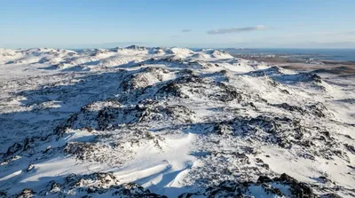
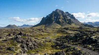
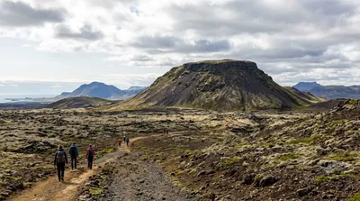
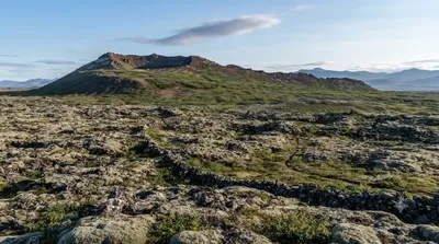
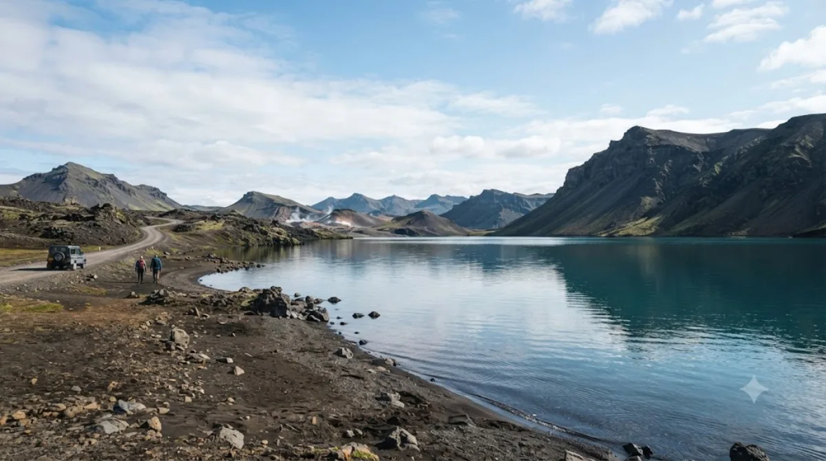
Kleifarvatn is the largest lake on the Reykjanes Peninsula. Located along the Mid-Atlantic Ridge rift zone, it sits bordered by dark volcanic hills and black sand shores. The water flows in and out entirely underground, with no visible surface inlets or outlets. Travellers visit to see its volcanic landscape and unusual subterranean hydrology.
Getting There
From central Hafnarfjörður, drive south along Route 42. The drive passes through volcanic terrain and takes roughly 25 to 30 minutes.
Time to Allow
Plan for 30 to 45 minutes for a basic stop at the shoreline viewpoints. Allow 1 to 2 hours if walking the surrounding trails.
When to Go
Summer offers the most reliable driving conditions and long daylight hours. Winter visits are possible, though Route 42 can be icy. The open expanse keeps the area from feeling crowded, though midday sees higher tour traffic.
What to Combine It With
The site connects easily with nearby volcanic points of interest:
- Sveifluháls (1.9km): A volcanic ridge with nearby geothermal activity.
- Trölladyngja (6.3km): A volcanic peak with trails across lava terrain.
- Helgafell (11km): A hiking mountain located closer to Hafnarfjörður.
- Búrfell (13.6km): A volcanic crater and preserved lava channel.
Updated September 8, 2026 · Edited by the World by City editors
 GetYourGuide
 Klook
Klook
 Tiqets
 KKday
KKday
 WeGoTrip
 Booking.com
 Hotels.com