Nature
Hoher Gleirsch
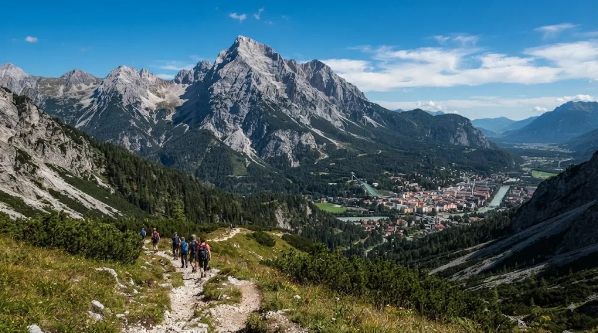
Overview
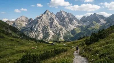
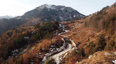
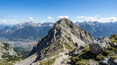
Hoher Gleirsch is a 2,492-metre peak in the Karwendel range near Innsbruck, Austria. It attracts hikers seeking a rugged, unmaintained alpine ridge experience with steep rock and scree rather than developed tourist paths.
Getting There
From central Innsbruck, take regional transit or drive toward valley trailheads near Scharnitz or the Nordkette area. The approach involves reaching the trailhead and walking through the valley before the steep climb begins, taking roughly 1.5 to 2 hours from the city.
Time to Allow
A round-trip hike to the summit requires a full day. Budget 6 to 8 hours of active walking time, depending on fitness and chosen route.
When to Go
The best period is from late June to September, after winter snow has cleared from high ridges. Start early in the morning to avoid midday heat and alpine thunderstorms. The trail does not get crowded due to its physical difficulty and lack of cable car access.
Nearby Attractions
The route can be paired with other destinations in the Karwendel area:
- Praxmarerkarspitzen (3.6km): A neighboring alpine peak.
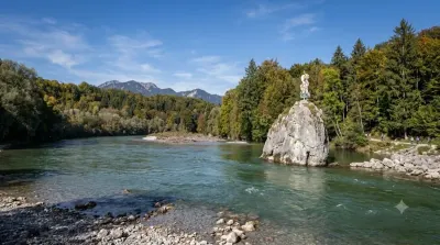
- Isar (4.2km): The upper river corridor to the north.
- Hafelekarspitze (5.3km): A peak accessible via cable car closer to Innsbruck.
- Gleirschspitze (6km): An adjacent summit along the ridge network.
Updated September 8, 2026 · Edited by the World by City editors
 GetYourGuide
 Klook
Klook
 Tiqets
 KKday
KKday
 WeGoTrip
 Booking.com
 Hotels.com