Nature
Gleirschspitze
Overview
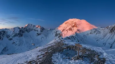
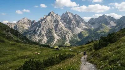
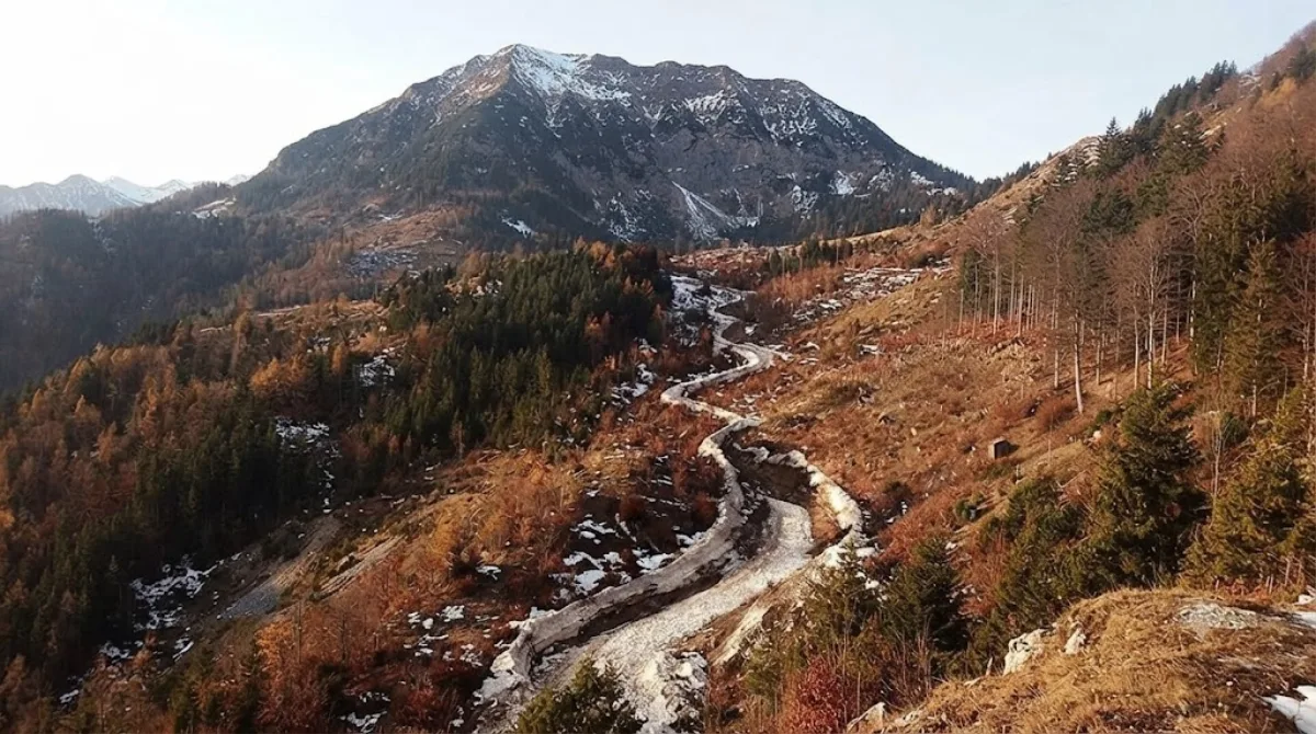
Gleirschspitze is a mountain peak in the Nordkette range north of Innsbruck, Austria. Located roughly 1 km east of Hafelekarspitze, it offers open views across the Karwendel Alps and the Inn Valley along an established hiking route.
Getting There
From central Innsbruck, take the Nordkettenbahn cable car up to Hafelekar station. From the station, follow the Goetheweg trail eastward. The trail walk to the peak takes approximately 45 minutes.
Time to Spend
Allow 2 to 3 hours for the round trip from Hafelekar station, including time at the summit.
When to Visit
Visit during snow-free months, typically late spring through autumn. Morning departures provide more stable mountain weather and clearer views. The trail sees regular hiker traffic on sunny weekends due to cable car access, making weekdays preferable for fewer crowds.
Nearby Attractions
The trail connects easily with other points along the Nordkette range:
- Hafelekarspitze (1.1km): The summit directly adjacent to Hafelekar station.
- Rumer Spitze (2.1km): Further east along the ridge for extended hiking routes.
- Stempeljochspitze (3.7km): Accessible via continuing alpine trails across the pass.
- Praxmarerkarspitzen (3.8km): Located deeper within the Karwendel range.
Updated September 8, 2026 · Edited by the World by City editors
 GetYourGuide
 Klook
Klook
 Tiqets
 KKday
KKday
 WeGoTrip
 Booking.com
 Hotels.com