World by City

Nature

Stempeljochspitze
Open in Maps
Stempeljochspitze

Stempeljochspitze

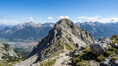
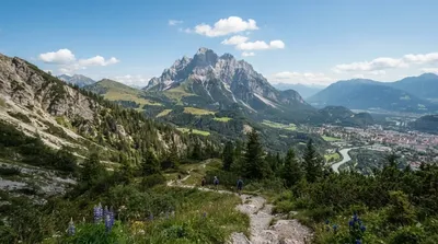
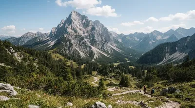
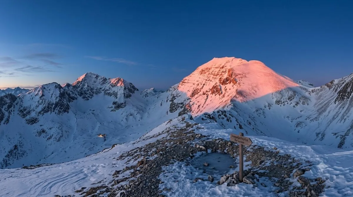
Stempeljochspitze is a mountain peak reaching 2,543 meters within the Gleirsch-Halltal range of the Karwendel mountains. Travelers visit this location for alpine hiking and panoramic views of the surrounding mountain ranges located just outside Innsbruck.

Getting There

Access to the peak begins from the outskirts of Innsbruck. Visitors typically drive or take local transport to the nearest trailhead in the Karwendel region. Depending on the specific starting point and traffic, the journey from the city centre to the base of the hiking trails takes approximately 30 to 60 minutes.

Time Requirement

Because this is a high-altitude peak, visitors should allow a full day for the round trip. The time required depends on the hiker's pace and the chosen route, but most excursions involve several hours of ascent and descent.

When to Visit

The peak is accessible during the summer and autumn months when snow levels are low enough for hiking. It is advisable to start the ascent early in the morning to avoid afternoon thunderstorms common in the Alps. This location does not experience the same crowd levels as the city centre, though trails are busier on weekends.

Nearby Points of Interest

The area is suitable for multi-peak trekking. Other nearby summits include:

  • Hintere Bachofenspitze (1.2km)
  • Grosser Lafatscher (1.6km)
  • Rumer Spitze (1.9km)
  • Little Lafatscher (2km)

Updated September 8, 2026 · Edited by the World by City editors

Tickets & tours

Admission prices and opening hours change often, so we don't list them here. Check what's on sale and at what price below — booking ahead can cut the queue at some places.

This place may not appear in the results — some sites are free to enter or sell tickets only at the gate.

Stays near Stempeljochspitze

Sorted by distance, walkable ones first. Distances are straight-line.

Map and place data © OpenStreetMap contributors

Stempeljochspitze Nearby stays

Check prices and availability on the booking sites.

Pick your dates — we'll search Innsbruck hotels for you

Choose dates and guests, and the buttons below will open search results with your criteria. Prices differ between sites, so compare before you book.

Hotel membership

Staying at Accor hotels often? ALL Accor+ Explorer

A paid annual membership. It includes two free nights a year across Asia-Pacific, 30% off dining and 15% off drinks, and 15% off stays at more than 4,500 hotels worldwide.

Explore the membership

Good to visit alongside

Hintere Bachofenspitze

Nature

Hintere Bachofenspitze

A 2,668-meter peak in the Karwendel range near Innsbruck, the northernmost point of the Inn Valley area. It has drawn more visitors since a summit cross was erected there in 2003.

1.2 km away

Grosser Lafatscher

Nature

Grosser Lafatscher

The Grosser Lafatscher is a 2,696-meter peak in the Karwendel range near Innsbruck, reachable from the Halltal valley in about four hours. The trail winds between high Alpine peaks, offering sweeping views along the way.

1.6 km away

Rumer Spitze

Nature

Rumer Spitze

Rumer Spitze is one of the notable peaks in the eastern Nordkette range of the Karwendel, rising 2,454 meters above sea level. Hikers favor it for its sweeping views over the Inn Valley and the city of Innsbruck.

1.9 km away

Little Lafatscher

Nature

Little Lafatscher

The Kleiner Lafatscher is a 2,636-meter peak in Karwendel's Gleirsch-Halltal range, standing guard west of the Lafatscher Pass. It can be climbed from Halltal in about four hours, or in three hours from Hallerangeralm or Hallerangerhaus.

2.0 km away

Praxmarerkarspitzen

Nature

Praxmarerkarspitzen

The Praxmarerkarspitzen is a 2,642-meter peak in the Karwendel range and the highest point within Innsbruck's city limits. It can be climbed along with its nearby eastern summit, rewarding hikers with views down over the city.

3.3 km away

Gleirschspitze

Nature

Gleirschspitze

A peak in the Nordkette range north of Innsbruck, about 1 km east of Hafelekarspitze. It can be reached via the Goetheweg trail, roughly a 45-minute walk from the Hafelekar station of the Nordkettenbahn.

3.7 km away