World by City

Nature

Kudaka Island
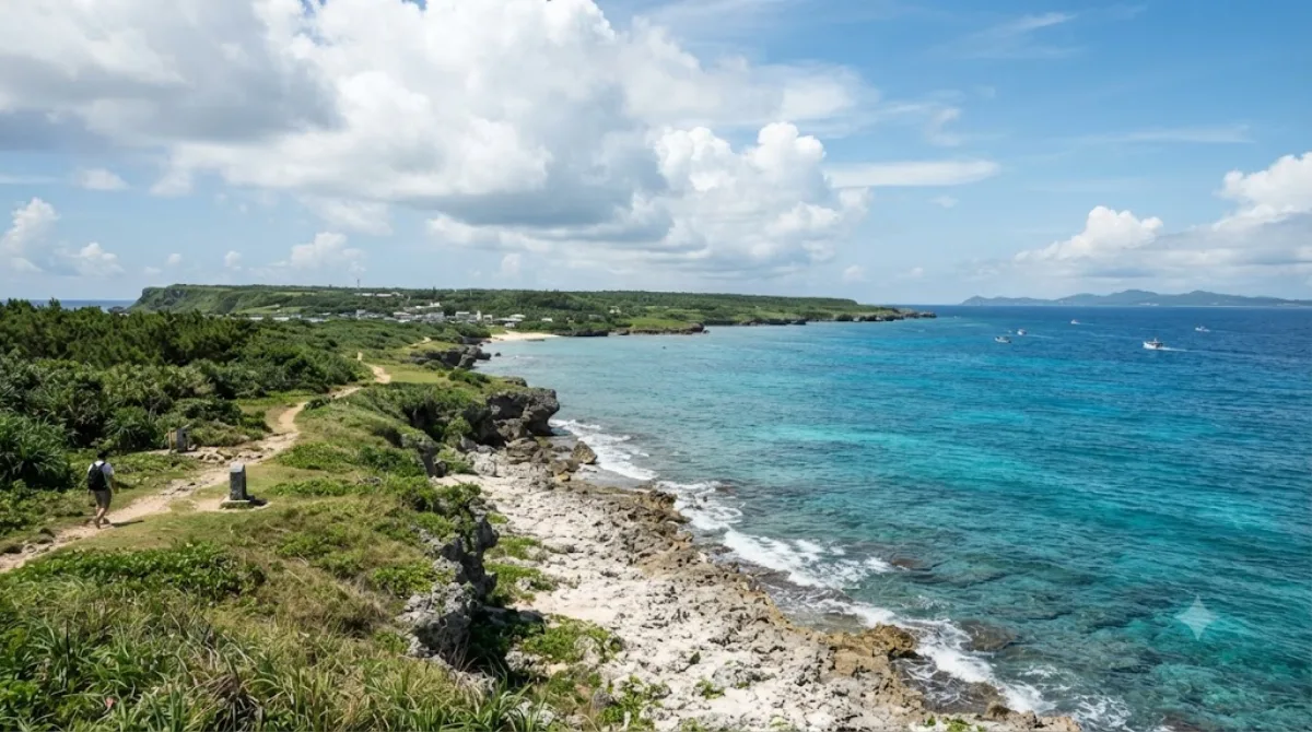
Kudaka Island

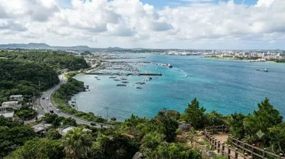
Kudaka Island is an island in Ryukyu Islands, located in Nanjō, Okinawa Prefecture, Japan and 5.3 kilometers away from Cape Chinen, Nanjō. From Nanjō, Kudaka Island can be reached by high-speed boat in 15 minutes and by ferry in 20 minutes. It is only about three miles off the southeast coast of Okinawa.

What Kudaka Island Is

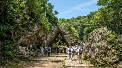
Kudaka Island is a small, flat coral island off the southeast coast of Okinawa's main island, within Nanjō city limits. It's known in Ryukyuan tradition as a sacred island tied to local creation legends, and it still has a number of utaki (sacred groves) and small shrines that residents maintain. There are no major built attractions — the appeal is the quiet coastline, low scrubby vegetation, and a handful of village lanes you can walk in an unhurried afternoon. It works well for travelers who want a slower, low-key contrast to the resorts and traffic of central Okinawa.

Getting There

Access is by boat from Azama Port in Nanjō, on the southeast coast of the main island. A high-speed boat takes about 15 minutes; a regular ferry takes about 20 minutes. There is no bridge or car access, so you'll need to plan around the boat schedule and leave the car at the port.

Time to Allow

Most visitors spend half a day on the island, enough time to walk a loop of the coastal road, see a few of the sacred sites, and stop for lunch. Renting a bicycle at the port on arrival is a common way to cover more ground without a car, since the island is small and mostly flat.

When to Go

Mornings give you the most flexibility with boat timings and cooler walking conditions before the midday heat. Some areas of the island are considered sacred and are off-limits or restricted to visitors, particularly around utaki sites — signage and local guidance should be respected. The island is not heavily crowded compared to mainland Okinawa beaches, but boat capacity is limited, so it's worth confirming sailing times in advance rather than assuming frequent departures.

Combining With Other Sights

Sefa-utaki, one of Okinawa's most significant sacred sites, is about 6.2km from Kudaka Island and pairs naturally with a visit here given the shared spiritual history. Nakagusuku Bay (8.4km) and Ou Island (11.8km) are also within reach for a fuller day around Nanjō, while Gyokusendō cave (13.7km) suits travelers extending the day further inland.

Sources: open data from Wikipedia and OpenStreetMap · Updated August 5, 2026 · Edited by the World by City editors

Tickets & tours

Admission prices and opening hours change often, so we don't list them here. Check what's on sale and at what price below — booking ahead can cut the queue at some places.

This place may not appear in the results — some sites are free to enter or sell tickets only at the gate.

Stays near Kudaka Island

Sorted by distance, walkable ones first. Distances are straight-line.

Map © OpenStreetMap contributors. Lines are straight connections, not actual routes.

Kudaka Island Nearby stays

Locations and names come from OpenStreetMap. Check prices and availability on the booking sites.

Good to visit alongside

Sefa-utaki

Heritage & monuments

Sefa-utaki

Sefa-utaki, is a historical sacred space, overlooking Kudaka Island, that served as one of the key locations of worship in the native religion of Ryukyuan for millennia. It was designated a National Historic Site in 2018. It is part of the UNESCO World Heritage Site Gusuku Sites and Related Properties of the Kingdom of Ryukyu in the city of Nanjō, Okinawa, Japan.

6.2 km away

Nakagusuku Bay

Nature

Nakagusuku Bay

Nakagusuku Bay is a bay on the southern coast of Okinawa Island on the Pacific Ocean in Japan. The bay covers 220 square kilometres (85 sq mi) and ranges between 10 metres (33 ft) to 15 metres (49 ft) deep. The bay is surrounded by the municipalities of Uruma, Kitanakagusuku, Nakagusuku, Nishihara, Yonabaru, Nanjō, all in Okinawa Prefecture. In 1852, while visiting the Ryukyu Kingdom, Commodore Matthew Perry mapped Okinawa and labeled Nakagusuku Bay as "Perry's Bay". During the final months of World War II, the bay became a United States Navy forward base and was nicknamed "Buckner Bay".

8.4 km away

Ou Island

Nature

Ou Island

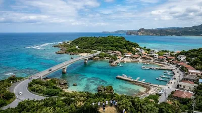
Ou Island is a small islet located in the Okinawa Islands of Japan. It's administered by the town of Nanjō, and a bridge connects both entities.

11.8 km away

Gyokusendō

Nature

Gyokusendō

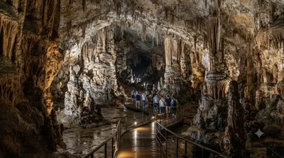
교쿠센도(일본어: 玉泉洞)는 일본 오키나와현 난조시에 있는 석회암 동굴이다. 동굴군의 일부는 오키나와 월드의 일부로서 공개되어 있다.

13.7 km away

Kokuba River

Nature

Kokuba River

The Kokuba River is a river in Naha, Okinawa, and is the hydrographic resource for domestic urban fresh water. A number of geographical places on Okinawa bear its name, such as Lake Man Park (漫湖公園) and Kokuba Danchi (国場団地). The river flows into the East China Sea.

15.7 km away

Nakagusuku Castle

Castles & palaces

Nakagusuku Castle

Nakagusuku Castle is a Ryukyuan gusuku fortification located in the village of Kitanakagusuku, Okinawa, Japan. It is known for being the best-preserved of any gusuku ruins, and the six courtyards of this fortress with stacked stone walls make it a prime example of a gusuku. It has been protected by the central government as a National Historic Site since 1972. The designated area is 110,473 square meters, of which 14,473 square meters is the castle grounds. In November 2000, it was registered as a UNESCO World Heritage Site as part of the Gusuku Sites and Related Properties of the Kingdom of...

16.4 km away