World by City

自然

久高島

Kudaka Island
久高島

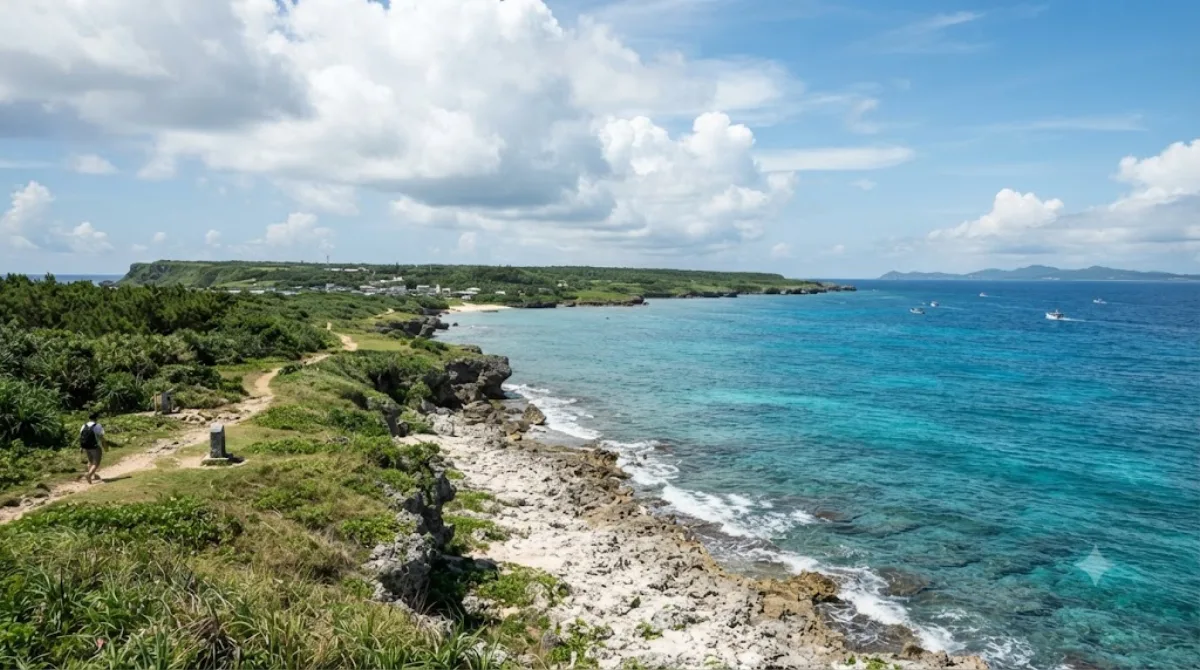
久高島(くだかじま)は、沖縄本島東南端に位置する知念岬の東海上5.3kmにある、周囲8.0kmの細長い島である。島内全域が沖縄県南城市知念字久高でひとつの大字を形成する。人口は238人、世帯数は153世帯(2020年4月末現在)。

What Kudaka Island Is

Kudaka Island is a small, flat coral island off the southeast coast of Okinawa's main island, within Nanjō city limits. It's known in Ryukyuan tradition as a sacred island tied to local creation legends, and it still has a number of utaki (sacred groves) and small shrines that residents maintain. There are no major built attractions — the appeal is the quiet coastline, low scrubby vegetation, and a handful of village lanes you can walk in an unhurried afternoon. It works well for travelers who want a slower, low-key contrast to the resorts and traffic of central Okinawa.

Getting There

Access is by boat from Azama Port in Nanjō, on the southeast coast of the main island. A high-speed boat takes about 15 minutes; a regular ferry takes about 20 minutes. There is no bridge or car access, so you'll need to plan around the boat schedule and leave the car at the port.

Time to Allow

Most visitors spend half a day on the island, enough time to walk a loop of the coastal road, see a few of the sacred sites, and stop for lunch. Renting a bicycle at the port on arrival is a common way to cover more ground without a car, since the island is small and mostly flat.

When to Go

Mornings give you the most flexibility with boat timings and cooler walking conditions before the midday heat. Some areas of the island are considered sacred and are off-limits or restricted to visitors, particularly around utaki sites — signage and local guidance should be respected. The island is not heavily crowded compared to mainland Okinawa beaches, but boat capacity is limited, so it's worth confirming sailing times in advance rather than assuming frequent departures.

Combining With Other Sights

Sefa-utaki, one of Okinawa's most significant sacred sites, is about 6.2km from Kudaka Island and pairs naturally with a visit here given the shared spiritual history. Nakagusuku Bay (8.4km) and Ou Island (11.8km) are also within reach for a fuller day around Nanjō, while Gyokusendō cave (13.7km) suits travelers extending the day further inland.

出典:ウィキペディア・OpenStreetMap の公開データ · 2026年8月5日 更新 · 編集 World by City 編集部

チケット・ツアー予約

入場料や営業時間は変わりやすいためここには載せていません。下で現在販売中のチケットと価格をご確認ください。事前購入で待ち時間を減らせる場所もあります。

検索結果にこの場所のチケットがない場合もあります。入場無料、または現地販売のみの施設もあります。

久高島 周辺の宿

歩いて行ける距離から近い順に並べています。距離は直線距離です。

地図 © OpenStreetMap 寄稿者。直線でつないでいるため実際の経路とは異なります。

久高島 周辺の宿

宿の位置と名称は OpenStreetMap のデータに基づきます。価格と空室は各予約サイトでご確認ください。

あわせて訪れたい場所

斎場御嶽

遺跡・記念物

斎場御嶽

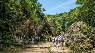
斎場御嶽(せーふぁーうたき/サイハノうたき)は沖縄県南城市知念にある史跡。15世紀-16世紀の琉球王国・尚真王時代の御嶽であるとされる。「せーふぁ」は「最高位」を意味し、「斎場御嶽」は「最高の御嶽」ほどの意味となり、これは通称である。正式な神名は「君ガ嶽、主ガ嶽ノイビ」という。

ここから 6.2 km

中城湾

自然

中城湾

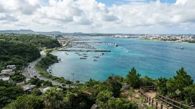
中城湾(なかぐすくわん)は、沖縄島の南東部、知念半島と勝連半島の間に挟まれた海域である。

ここから 8.4 km

奥武島

自然

奥武島

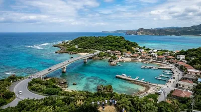
奥武島(おうじま)は、沖縄本島南部にある島。沖縄県南城市玉城(旧島尻郡玉城村)に属する。

ここから 11.8 km

玉泉洞

自然

玉泉洞

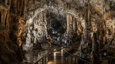
玉泉洞(ぎょくせんどう)は、沖縄県南城市玉城字前川にある鍾乳洞。広義には沖縄島南部の雄樋川の流域に発達した全長5,000メートルを超える洞窟群をいい、狭義にはこの洞窟群(洞穴群、ケイブシステム)内に位置する前川第6洞をいう。

ここから 13.7 km

国場川

自然

国場川

国場川(こくばがわ)は、沖縄本島南部を西流する国場川水系の本流で、二級河川。下流部の漫湖は沖縄最大の干潟であり、1999年(平成11年)、ラムサール条約に基づく湿地保全区域として登録された。

ここから 15.7 km

中城城

城・宮殿

中城城

中城城(なかぐすくじょう)は、沖縄県中頭郡北中城村・中城村に存在した日本の城。15世紀の琉球王国・尚泰久王代、護佐丸のグスク(城)として知られる。ユネスコ世界遺産。

ここから 16.4 km