自然
国場川
Kokuba River
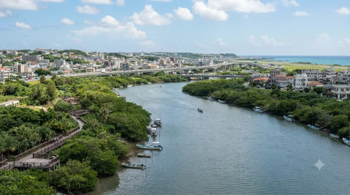
国場川(こくばがわ)は、沖縄本島南部を西流する国場川水系の本流で、二級河川。下流部の漫湖は沖縄最大の干潟であり、1999年(平成11年)、ラムサール条約に基づく湿地保全区域として登録された。
What it is
The Kokuba River flows through Naha and is the city's main source of fresh water, but for a visitor it's really an urban green corridor rather than a scenic destination in its own right. The stretch worth seeing is around Man Park (Manko), a wetland area on the river's lower course that's registered as a Ramsar site for the waterbirds that use it, including migratory species that stop over outside the hottest months. It's a place for a walk along the water and some birdwatching rather than a dramatic landscape.
Getting there
From central Naha, the Man Park area is a short taxi or bus ride, generally under 20 minutes depending on traffic. There's no monorail stop directly at the park, so a taxi is the more straightforward option if you're coming from the main tourist strip near Kokusai-dori.
How long to spend
An hour is enough to walk a section of the riverside path and look for birds. If you want to cover more of the park and read the information signage, allow closer to two hours.
When to go
Early morning or late afternoon is best for birdwatching, when activity is higher and the heat is more manageable. Winter months tend to bring more migratory birds than summer. The area is not typically crowded, so timing is more about comfort and wildlife visibility than avoiding people.
Combining with nearby sights
The river and park sit a couple of kilometers from several of Naha's cultural sites, making them easy to fold into the same day rather than a separate trip:
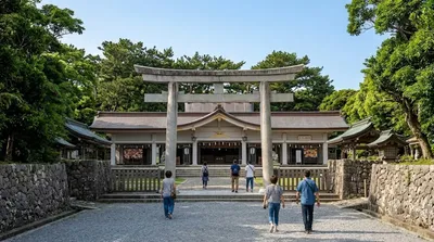
- Okinawa Shrine — about 2km away
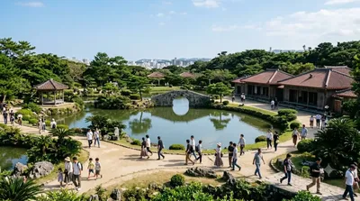
- Shikina-en — about 2.1km away
- Enkaku-ji — about 2.6km away
- Sonohyan-utaki — about 2.8km away
出典:ウィキペディア・OpenStreetMap の公開データ · 2026年8月5日 更新 · 編集 World by City 編集部