World by City

Natur

Kokuba River

Kokuba River

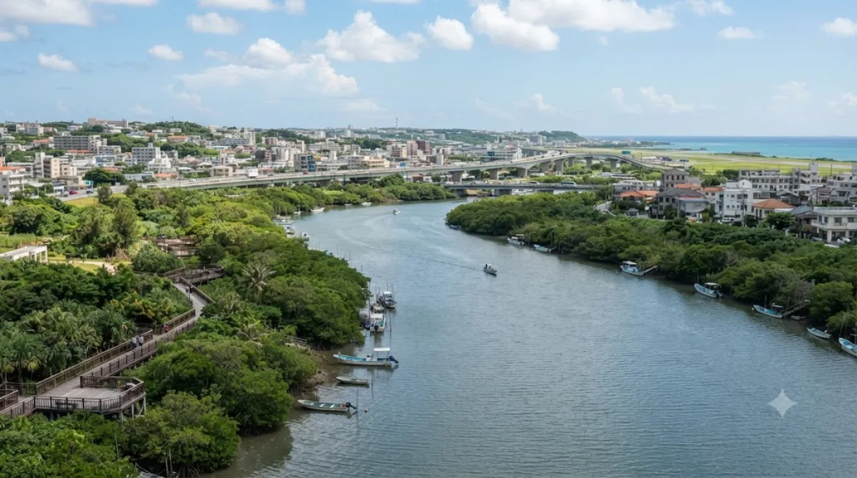
The Kokuba River is a river in Naha, Okinawa, and is the hydrographic resource for domestic urban fresh water. A number of geographical places on Okinawa bear its name, such as Lake Man Park (漫湖公園) and Kokuba Danchi (国場団地). The river flows into the East China Sea.

What it is

The Kokuba River flows through Naha and is the city's main source of fresh water, but for a visitor it's really an urban green corridor rather than a scenic destination in its own right. The stretch worth seeing is around Man Park (Manko), a wetland area on the river's lower course that's registered as a Ramsar site for the waterbirds that use it, including migratory species that stop over outside the hottest months. It's a place for a walk along the water and some birdwatching rather than a dramatic landscape.

Getting there

From central Naha, the Man Park area is a short taxi or bus ride, generally under 20 minutes depending on traffic. There's no monorail stop directly at the park, so a taxi is the more straightforward option if you're coming from the main tourist strip near Kokusai-dori.

How long to spend

An hour is enough to walk a section of the riverside path and look for birds. If you want to cover more of the park and read the information signage, allow closer to two hours.

When to go

Early morning or late afternoon is best for birdwatching, when activity is higher and the heat is more manageable. Winter months tend to bring more migratory birds than summer. The area is not typically crowded, so timing is more about comfort and wildlife visibility than avoiding people.

Combining with nearby sights

The river and park sit a couple of kilometers from several of Naha's cultural sites, making them easy to fold into the same day rather than a separate trip:

  • Okinawa Shrine — about 2km away
  • Shikina-en — about 2.1km away
  • Enkaku-ji — about 2.6km away
  • Sonohyan-utaki — about 2.8km away

Quellen: offene Daten von Wikipedia und OpenStreetMap · Aktualisiert 5. August 2026 · Redaktion die World by City-Redaktion

Tickets & Touren

Eintrittspreise und Öffnungszeiten ändern sich häufig und stehen daher nicht hier. Unten sehen Sie, was gerade angeboten wird – vorab buchen spart mancherorts Wartezeit.

Dieser Ort erscheint womöglich nicht in den Ergebnissen – manche Ziele sind kostenlos oder verkaufen nur vor Ort.

Unterkünfte nahe Kokuba River

Nach Entfernung sortiert, fußläufige zuerst. Angaben als Luftlinie.

Karte © OpenStreetMap-Mitwirkende. Linien sind Luftlinien, keine echten Routen.

Kokuba River Unterkünfte in der Nähe

Lage und Namen stammen aus OpenStreetMap. Preise und Verfügbarkeit bitte auf den Buchungsseiten prüfen.

Passt gut dazu

Okinawa Shrine

Tempel & Sakralbauten

Okinawa Shrine

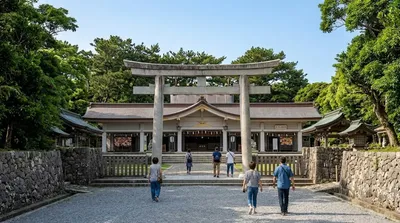
Okinawa Shrine is a Shinto shrine in Naha, Okinawa Prefecture, Japan. Established at the end of the Taishō period on the site of Shuri Castle, the main hall of which was reused as the haiden, the shrine buildings were destroyed in May 1945 during the Battle of Okinawa. Both castle and shrine have since been rebuilt while this phase has been written out of the "official history" currently told at Shurijō Castle Park.

2.0 km entfernt

Shikinaen

Parks & Gärten

Shikinaen

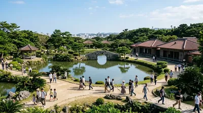
Shikinaen ist ein historischer Landschaftsgarten und UNESCO-Weltkulturerbe in Naha, Okinawa, Japan.

2.1 km entfernt

Enkaku-ji

Tempel & Sakralbauten

Enkaku-ji

Enkaku-ji was a Buddhist temple located in the Shuritonokuracho neighborhood of the city of Naha, Okinawa Prefecture, Japan. It belonged to the Rinzai school sect of Japanese Zen and its honzon is a Shaka Sanzon trinity of Shaka Nyorai, Monju Bosatsu and Fugen Bosaatsu. The temple's full name is Tentoku-san Enkaku-ji. It was the bodaiji of the kings of Second Shō dynasty of the Ryūkyū Kingdom. The site of the temple was designated a National Historic Site of Japan in 1972.

2.6 km entfernt

Sonohyan-Utaki

Denkmäler & Ausgrabungen

Sonohyan-Utaki

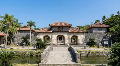
Das Steintor Sonohyan-utaki (jap. 園比屋武御嶽 Sonohyan-utaki, Okinawaisch Sunufan-utaki) wurde 1519 unter der Herrschaft von König Shō Shin durch Nishito von der Insel Taketomi-jima erbaut. Das Tor liegt hinter dem Eingangstor Kankai-mon der Burg Shuri auf der linken Seite. Abgesehen von einer Holztür besteht das Tor hauptsächlich aus Ryūkyū-Kalkstein und aus feinkörnigem Sandstein. Diese Art von Tor wird Hirakaramon genannt. Hinter dem immer geschlossenen Tor liegt ein heiliger Hain, der in früheren Zeiten deutlich größer war und schon vor der Errichtung des Steintores als sakrale Stätte de...

2.8 km entfernt

Shurei-mon

Denkmäler & Ausgrabungen

Shurei-mon

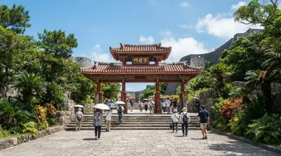
Shurei-mon ist das Eingangstor chinesischen Stils (Pailou) zur Burg Shuri in Shuri, Naha auf Okinawa. Es wurde während der Herrschaft von König Shō Sei um 1526 errichtet.

2.8 km entfernt

다마우둔

Denkmäler & Ausgrabungen

다마우둔

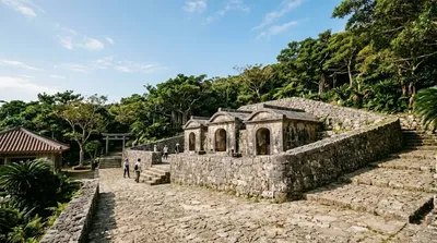
다마우둔(일본어: 玉陵)은 류큐왕국 제2쇼씨 왕조의 역대 국왕들이 모셔진 능묘이다. 소재지는 일본 오키나와현 나하시 슈리킨조정(首里金城町)이다. 본래는 제3대 쇼신왕이 아버지 쇼엔왕을 장사지내기 위해 건축한 것이다. 세계유산의 하나로 오키나와현 최대의 파풍묘(破風墓)이다.

3.0 km entfernt