World by City

自然

奥武島

Ou Island

奥武島

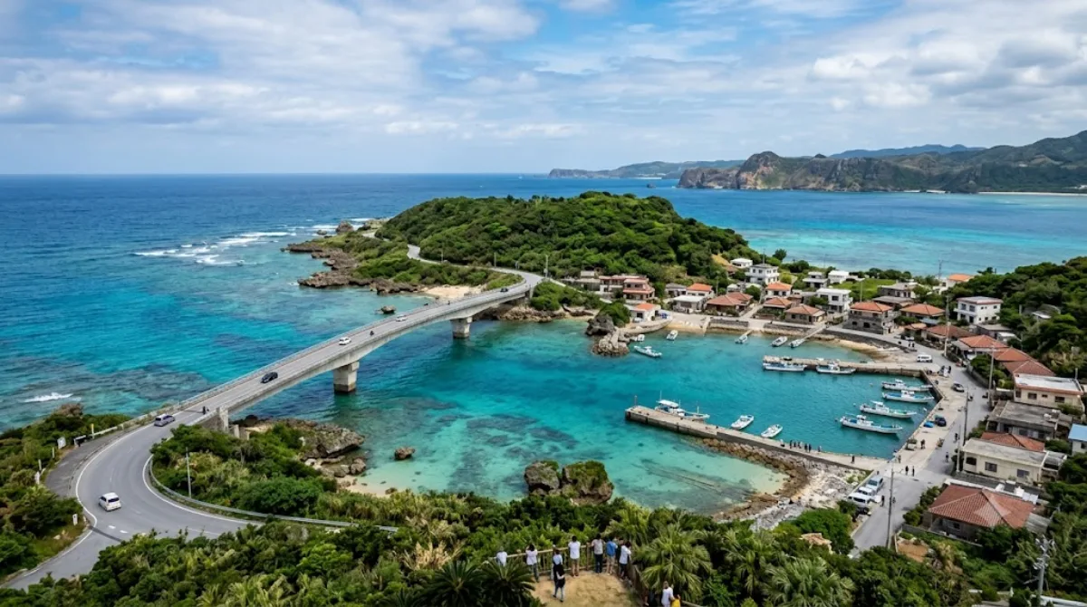
奥武島(おうじま)は、沖縄本島南部にある島。沖縄県南城市玉城(旧島尻郡玉城村)に属する。

What it is

Ou Island is a small islet off the coast of Nanjō, connected to the mainland by a short bridge. There isn't a major built attraction here — the appeal is the drive across the bridge itself, with open sea on both sides, plus a handful of quiet beaches and coastal viewpoints around the island's edge. It's a low-key stop for coastal scenery rather than a destination with facilities or sights to tour.

Getting there

From central Naha, it's roughly a 40-50 minute drive southeast to the island via the coastal roads through Nanjō. There's no direct rail link, so a rental car, taxi, or bus connection with some walking is the practical way to reach it. The island itself is small enough to cross by car in a few minutes once you're on the bridge.

How much time to allow

An hour or two is enough to drive across, stop at a beach or two, and take in the views. It's not a place that needs a full day unless you plan to swim or linger on the sand.

When to go

Mornings tend to be quieter and give better light for the coastal views. The island itself doesn't get heavily crowded, but the bridge and roadside pull-offs can back up with traffic on weekends and during the summer beach season, so a weekday visit is more relaxed.

Combining with nearby sights

Gyokusendō cave is only about 2.3km away and pairs naturally with a visit here, often combined as a single outing. Sefa-utaki, a sacred site in Ryukyuan tradition, is roughly 7.3km off and can be added if you're spending a half-day in the Nanjō area. The Okinawa Prefectural Peace Memorial Museum (6km) and Kokuba River (8.7km) are further out but still reasonable to fold into a broader day trip through southern Okinawa.

出典:ウィキペディア・OpenStreetMap の公開データ · 2026年8月5日 更新 · 編集 World by City 編集部

チケット・ツアー予約

入場料や営業時間は変わりやすいためここには載せていません。下で現在販売中のチケットと価格をご確認ください。事前購入で待ち時間を減らせる場所もあります。

検索結果にこの場所のチケットがない場合もあります。入場無料、または現地販売のみの施設もあります。

奥武島 周辺の宿

歩いて行ける距離から近い順に並べています。距離は直線距離です。

地図 © OpenStreetMap 寄稿者。直線でつないでいるため実際の経路とは異なります。

奥武島 周辺の宿

宿の位置と名称は OpenStreetMap のデータに基づきます。価格と空室は各予約サイトでご確認ください。

あわせて訪れたい場所

玉泉洞

自然

玉泉洞

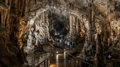
玉泉洞(ぎょくせんどう)は、沖縄県南城市玉城字前川にある鍾乳洞。広義には沖縄島南部の雄樋川の流域に発達した全長5,000メートルを超える洞窟群をいい、狭義にはこの洞窟群(洞穴群、ケイブシステム)内に位置する前川第6洞をいう。

ここから 2.3 km

沖縄県平和祈念資料館

博物館・美術館

沖縄県平和祈念資料館

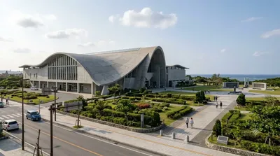
沖縄県立平和祈念資料館(おきなわけんりつへいわきねんしりょうかん)は2000年4月に糸満市の沖縄戦跡国定公園の平和祈念公園内に開設された博物館。

ここから 6.0 km

斎場御嶽

遺跡・記念物

斎場御嶽

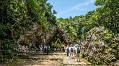
斎場御嶽(せーふぁーうたき/サイハノうたき)は沖縄県南城市知念にある史跡。15世紀-16世紀の琉球王国・尚真王時代の御嶽であるとされる。「せーふぁ」は「最高位」を意味し、「斎場御嶽」は「最高の御嶽」ほどの意味となり、これは通称である。正式な神名は「君ガ嶽、主ガ嶽ノイビ」という。

ここから 7.3 km

国場川

自然

国場川

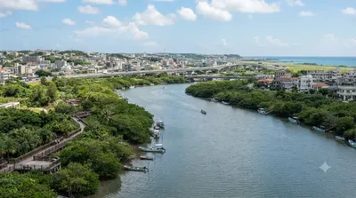
国場川(こくばがわ)は、沖縄本島南部を西流する国場川水系の本流で、二級河川。下流部の漫湖は沖縄最大の干潟であり、1999年(平成11年)、ラムサール条約に基づく湿地保全区域として登録された。

ここから 8.7 km

沖縄戦跡国定公園

公園・庭園

沖縄戦跡国定公園

沖縄戦跡国定公園(おきなわせんせきこくていこうえん)は、沖縄県の沖縄本島南端部、糸満市と島尻郡八重瀬町にまたがる、第二次世界大戦(沖縄戦)の戦跡と自然景観を有する国定公園である。

ここから 8.9 km

ひめゆり平和祈念資料館

博物館・美術館

ひめゆり平和祈念資料館

ひめゆり平和祈念資料館(ひめゆりへいわきねんしりょうかん)は、沖縄県糸満市にある博物館。

ここから 9.0 km