World by City

公園・庭園

沖縄戦跡国定公園

Okinawa Senseki Quasi-National Park
沖縄戦跡国定公園

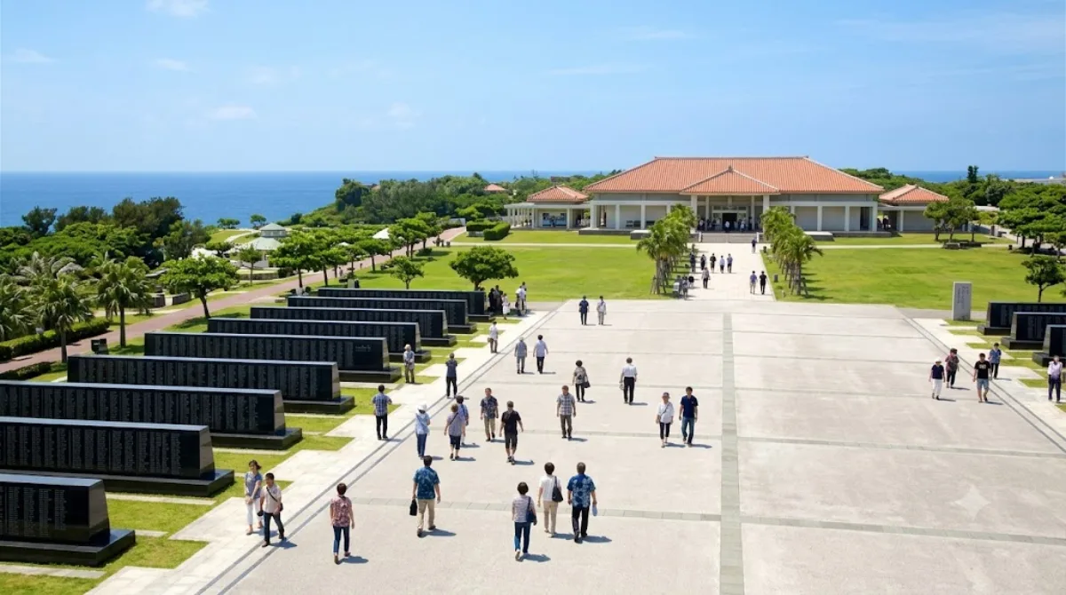
沖縄戦跡国定公園(おきなわせんせきこくていこうえん)は、沖縄県の沖縄本島南端部、糸満市と島尻郡八重瀬町にまたがる、第二次世界大戦(沖縄戦)の戦跡と自然景観を有する国定公園である。

Okinawa Senseki Quasi-National Park

This is a designated area covering the southern Okinawa battlefields, not a single site with gates or a visitor center. Within its boundaries are war memorials, coastal bluffs, caves used as wartime shelters, and museums documenting the Battle of Okinawa. Travelers come here to understand the civilian and military toll of the 1945 battle, and to see the dramatic cliffside coastline where much of it took place.

From central Naha, the core sites (around Itoman and the southern cape) are roughly a 30–45 minute drive. There's no direct rail link, so most visitors go by rental car or a bus tour; local buses run but connections between individual sites within the park are infrequent and slow.

Because the "park" spans multiple scattered locations, allow at least half a day if you want to visit two or three sites properly, and closer to a full day if you plan to include the museums in depth.

Mornings are quieter and cooler, which matters given the exposed, shadeless terrain around the cliffs. Summer heat and humidity are significant here, and rain can make the coastal paths slippery. Late June draws larger crowds and a more solemn atmosphere around the memorial anniversary of the battle's end.

The Himeyuri Peace Museum (0.5km from the park) is essentially inside the same area and pairs naturally with a visit. The Okinawa Prefectural Peace Memorial Museum (3.2km) adds broader historical context and is easy to combine in the same outing. Gyokusendō cave (7.7km) and Ou Island (8.9km) are further out but workable as a stop on the same day trip if you're driving south from Naha.

出典:ウィキペディア・OpenStreetMap の公開データ · 2026年8月5日 更新 · 編集 World by City 編集部

チケット・ツアー予約

入場料や営業時間は変わりやすいためここには載せていません。下で現在販売中のチケットと価格をご確認ください。事前購入で待ち時間を減らせる場所もあります。

検索結果にこの場所のチケットがない場合もあります。入場無料、または現地販売のみの施設もあります。

沖縄戦跡国定公園 周辺の宿

歩いて行ける距離から近い順に並べています。距離は直線距離です。

地図 © OpenStreetMap 寄稿者。直線でつないでいるため実際の経路とは異なります。

沖縄戦跡国定公園 周辺の宿

宿の位置と名称は OpenStreetMap のデータに基づきます。価格と空室は各予約サイトでご確認ください。

あわせて訪れたい場所

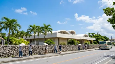
ひめゆり平和祈念資料館

博物館・美術館

ひめゆり平和祈念資料館

ひめゆり平和祈念資料館(ひめゆりへいわきねんしりょうかん)は、沖縄県糸満市にある博物館。

ここから 0.5 km

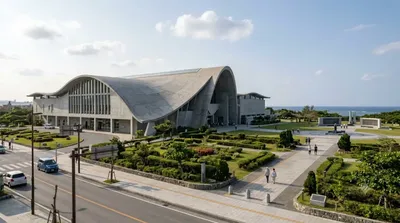
沖縄県平和祈念資料館

博物館・美術館

沖縄県平和祈念資料館

沖縄県立平和祈念資料館(おきなわけんりつへいわきねんしりょうかん)は2000年4月に糸満市の沖縄戦跡国定公園の平和祈念公園内に開設された博物館。

ここから 3.2 km

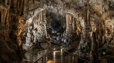
玉泉洞

自然

玉泉洞

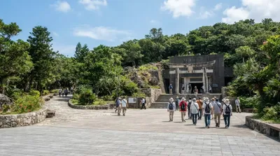
玉泉洞(ぎょくせんどう)は、沖縄県南城市玉城字前川にある鍾乳洞。広義には沖縄島南部の雄樋川の流域に発達した全長5,000メートルを超える洞窟群をいい、狭義にはこの洞窟群(洞穴群、ケイブシステム)内に位置する前川第6洞をいう。

ここから 7.7 km

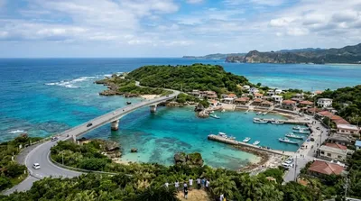
奥武島

自然

奥武島

奥武島(おうじま)は、沖縄本島南部にある島。沖縄県南城市玉城(旧島尻郡玉城村)に属する。

ここから 8.9 km

瀬長島

自然

瀬長島

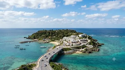
瀬長島(せながじま)は、沖縄県豊見城市に属する島である。沖縄本島南部の西岸約600m、那覇空港の南側約1.5kmに位置する。瀬長グスクをはじめとして多くの拝所や井泉が存在し、米軍基地「那覇空軍・海軍補助施設」として接収される以前は「神の島」として信仰の島となっていた。1977年に返還され、現在は瀬長島ウミカジテラスとしてリゾート開発されている。

ここから 10.5 km

海軍司令部壕

公園・庭園

海軍司令部壕

海軍司令部壕(かいぐんしれいぶごう)は、沖縄戦において大日本帝国海軍の司令部として使用された防空壕である。戦後は旧海軍司令部壕としてその一部が一般に公開され、周辺は県によって海軍壕公園として整備されている。沖縄県豊見城市と那覇市の市境に位置する。

ここから 10.5 km