World by City

公園・庭園

海軍司令部壕

Former Japanese Navy Underground Headquarters
海軍司令部壕

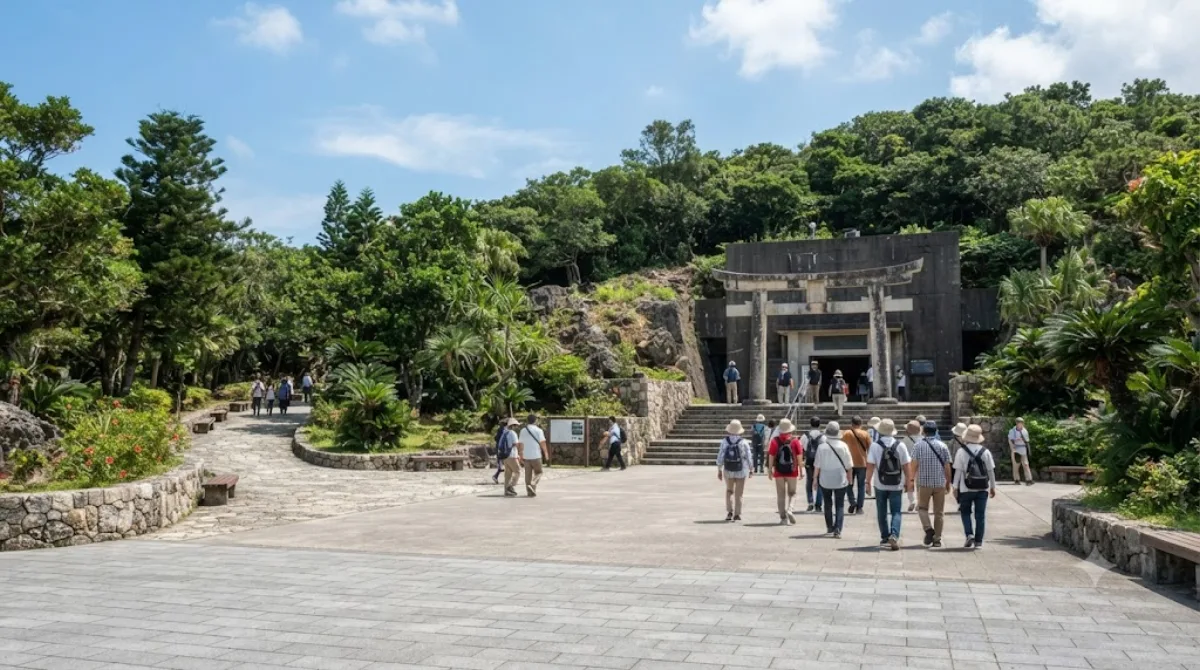
海軍司令部壕(かいぐんしれいぶごう)は、沖縄戦において大日本帝国海軍の司令部として使用された防空壕である。戦後は旧海軍司令部壕としてその一部が一般に公開され、周辺は県によって海軍壕公園として整備されている。沖縄県豊見城市と那覇市の市境に位置する。

Former Japanese Navy Underground Headquarters

This site preserves part of a tunnel network dug into a hillside by the Imperial Japanese Navy during World War II, used as an underground command post in the final stages of the Battle of Okinawa. A section of the tunnels is open to visitors, with rooms including the commanding officer's quarters and a staff room where wall gouges from a final grenade explosion are still visible. It's a sobering, low-key historical site rather than a scenic stop, and it gives a direct sense of the conditions endured underground during the battle. The surrounding grounds have been developed into Naval Underground Headquarters Park (海軍壕公園), with walking paths and a memorial.

Getting there

The site sits on the boundary between Tomigusuku and Naha, a short taxi or bus ride from central Naha. By car or taxi from the city centre, allow around 15–20 minutes depending on traffic. Public bus routes also serve the area, though a taxi is generally simpler if you're short on time.

Time to allow

Most visitors spend around 45 minutes to an hour, covering the tunnel section and a walk around the park grounds above.

When to go

The tunnels are underground, so weather matters less than at outdoor sites, but the stairs and passages can feel humid. It's not typically a crowded destination, though tour groups occasionally pass through, so an early or midday visit tends to be quieter. Note that the tunnel route involves stairs and uneven passages, which may not suit visitors with mobility difficulties.

Combine it with

Lake Man is the closest nearby spot at about 1.4km away. Naha City Museum of History (3.1km) and the Gokoku-ji Temple (3km) can be combined into a half-day itinerary covering the city's wartime and cultural history, and Kokusai-dōri (3.5km) is a reasonable stop afterward for shopping and food in central Naha.

出典:ウィキペディア・OpenStreetMap の公開データ · 2026年8月5日 更新 · 編集 World by City 編集部

チケット・ツアー予約

入場料や営業時間は変わりやすいためここには載せていません。下で現在販売中のチケットと価格をご確認ください。事前購入で待ち時間を減らせる場所もあります。

検索結果にこの場所のチケットがない場合もあります。入場無料、または現地販売のみの施設もあります。

海軍司令部壕 周辺の宿

歩いて行ける距離から近い順に並べています。距離は直線距離です。

地図 © OpenStreetMap 寄稿者。直線でつないでいるため実際の経路とは異なります。

海軍司令部壕 周辺の宿

宿の位置と名称は OpenStreetMap のデータに基づきます。価格と空室は各予約サイトでご確認ください。

あわせて訪れたい場所

漫湖

自然

漫湖

漫湖(まんこ)は、沖縄県那覇市と豊見城市にまたがる干潟である。ラムサール条約、日本の重要湿地500に選定されている。近くに漫湖公園がある。

ここから 1.4 km

護国寺

寺社・宗教施設

護国寺

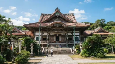
護国寺(ごこくじ)は、沖縄県那覇市にある高野山真言宗の寺院。山号は波上山、院号は三光院。本尊は聖観世音菩薩。琉球の真言宗総本山であり、現存する沖縄の寺院では、最も古い寺院である。創建以来、波上宮の神宮寺で、琉球国王の勅願寺でもあった。

ここから 3.0 km

那覇市歴史博物館

博物館・美術館

那覇市歴史博物館

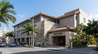
那覇市歴史博物館 は、沖縄県那覇市久茂地1丁目のパレットくもじ内にあった博物館。2006年(平成18年)に開館。

ここから 3.1 km

国際通り

ショッピング・繁華街

国際通り

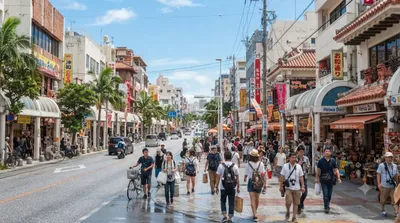
国際通り(こくさいどおり/こくさいとおり)は、沖縄県那覇市の県庁北口交差点(パレットくもじ前交差点)から安里三叉路までの約1.6 kmの通り。沖縄県で最も賑やかな通りであり那覇最大の繁華街である。

ここから 3.5 km

福州園

公園・庭園

福州園

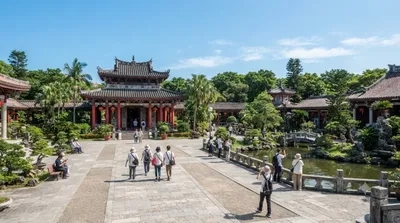
福州園(ふくしゅうえん)は、沖縄県那覇市久米にある中国式庭園である。那覇市の市制70周年および那覇市と中華人民共和国福建省福州市との友好都市締結10周年を記念して建設され、1992年9月に開園した。

ここから 3.5 km

瀬長島

自然

瀬長島

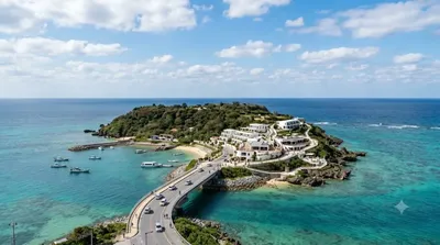
瀬長島(せながじま)は、沖縄県豊見城市に属する島である。沖縄本島南部の西岸約600m、那覇空港の南側約1.5kmに位置する。瀬長グスクをはじめとして多くの拝所や井泉が存在し、米軍基地「那覇空軍・海軍補助施設」として接収される以前は「神の島」として信仰の島となっていた。1977年に返還され、現在は瀬長島ウミカジテラスとしてリゾート開発されている。

ここから 3.6 km