自然
瀬長島
Senaga Island
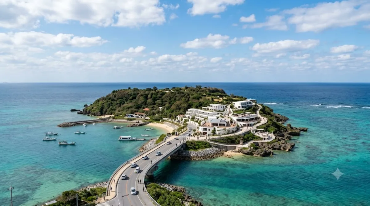
瀬長島(せながじま)は、沖縄県豊見城市に属する島である。沖縄本島南部の西岸約600m、那覇空港の南側約1.5kmに位置する。瀬長グスクをはじめとして多くの拝所や井泉が存在し、米軍基地「那覇空軍・海軍補助施設」として接収される以前は「神の島」として信仰の島となっていた。1977年に返還され、現在は瀬長島ウミカジテラスとしてリゾート開発されている。
Senaga Island
Senaga is a small island off the southern coast of Naha, connected to the mainland by a short bridge. It's a low-key stop for a walk along the coastline and views out over the East China Sea, with the runways of Naha Airport visible just across the water — planes taking off and landing make it a popular spot for aviation watching. The island also has a sandy beach area, which is a rarity this close to central Naha.
Getting there
From central Naha, it's roughly a 15-20 minute drive or taxi ride via the bridge connecting the island to the mainland. There's no monorail (Yui Rail) access, so a car, taxi, or bus connection is the practical option.
How much time to allow
An hour or two is enough to walk the coastal paths, watch a few plane arrivals or departures, and stop at the beach if the weather's good.
When to go
Late afternoon into early evening works well for cooler temperatures and good light for photos, including sunset over the water. Since the main draw is watching planes, timing your visit isn't critical, but arriving when flight activity is higher makes the stop more rewarding. It isn't a heavily touristed spot, so crowding generally isn't a concern outside of any local events.
Combine it with
- Former Japanese Navy Underground Headquarters (3.6km) — a WWII-era underground command post, a short drive away.
- Lake Man (4.8km) — reachable in the same trip if you're heading back toward central Naha.
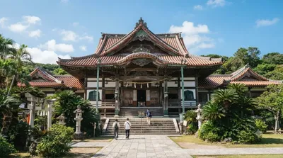
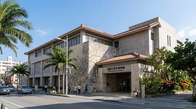
- Gokoku-ji Temple and Naha City Museum of History (5.6-5.7km) — both worth pairing with a broader half-day covering central Naha.
出典:ウィキペディア・OpenStreetMap の公開データ · 2026年8月5日 更新 · 編集 World by City 編集部