Parks & Gärten
Okinawa Senseki Quasi-Nationalpark
Okinawa Senseki Quasi-National Park
Überblick
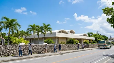
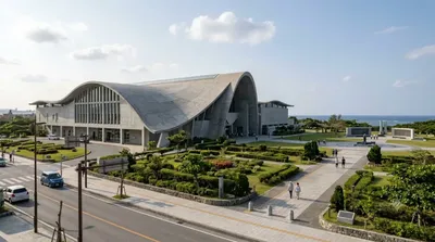
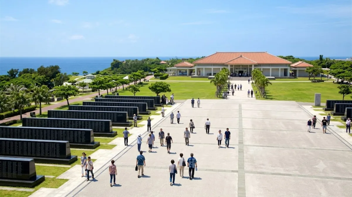
Der Okinawa-Senseki-Quasi-Nationalpark liegt im Süden der Hauptinsel und markiert das Areal schwerer Gefechte in der Endphase des Pazifikkriegs. Das Gebiet wurde 1965 als Präfekturpark ausgewiesen und 1972 bei der Rückgabe Okinawas an Japan zum Quasi-Nationalpark erhoben. Reisende besuchen die Anlage vor allem zur historischen Orientierung sowie wegen der dortigen Gedenkstätten und Grünflächen an der Küste.
Anreise
Aus dem Stadtzentrum von Naha dauert die Fahrt mit dem Mietwagen nach Süden rund 45 Minuten. Mit Linienbussen ab dem Bus-Terminal Naha muss man inklusive Fußwegen etwa 60 bis 90 Minuten einplanen.
Zeitaufwand
Für den Besuch des Außenbereichs und der zentralen Monumente reichen zwei bis drei Stunden aus. Sollen Ausstellungen vor Ort ausführlich besichtigt werden, empfiehlt sich ein halber Tag.
Besuchszeit
Wegen der offenen, unbeschatteten Flächen sind die Vormittagsstunden oder der späte Nachmittag ratsam. An nationalen Gedenktagen kommt es zu hohem Besucheraufkommen, an normalen Wochentagen verteilen sich Besucher im weiten Areal.
Kombinationen
In der Umgebung liegen folgende Ziele:
- Himeyuri Peace Museum (0,5 km)
- Okinawa Prefectural Peace Memorial Museum (3,2 km)
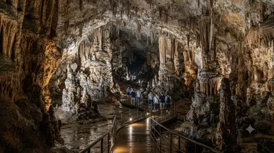
- Gyokusendō (7,7 km)
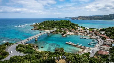
- Ou Island (8,9 km)
Aktualisiert 20. September 2026 · Redaktion die World by City-Redaktion
 GetYourGuide
 Klook
Klook
 Tiqets
 KKday
KKday
 WeGoTrip
 Booking.com
 Hotels.com