自然
中城湾
Nakagusuku Bay
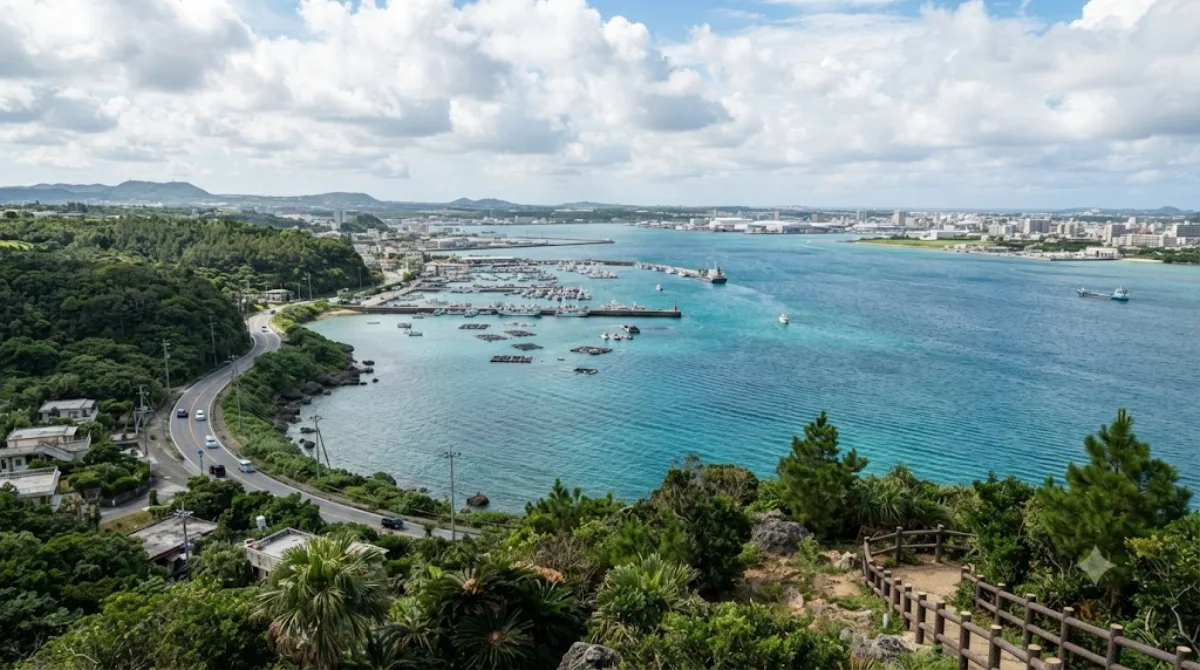
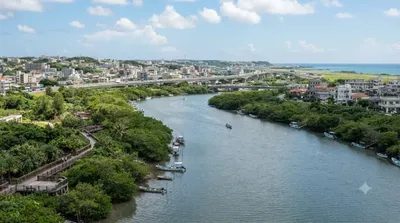
中城湾(なかぐすくわん)は、沖縄島の南東部、知念半島と勝連半島の間に挟まれた海域である。
Nakagusuku Bay
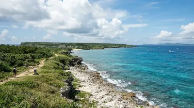
Nakagusuku Bay is a wide, shallow bay on Okinawa Island's Pacific coast, bordered by several municipalities including Uruma, Nishihara, and Yonabaru. It's a place to experience Okinawa's coastal landscape rather than a single sight to check off: the shoreline mixes fishing ports, quiet beaches, and views out toward Kudaka Island. History buffs may recognize it as "Perry's Bay," mapped by Commodore Matthew Perry in 1852, and later as "Buckner Bay," a major US Navy base in the closing months of World War II.
Getting there
The bay stretches along a long section of coastline rather than sitting at one fixed point, so travel time depends on which part you're headed to. From central Naha, expect roughly 30–45 minutes by car or taxi to reach the western or southern shoreline areas. There's no single train or bus route that serves the whole bay, so a rental car gives the most flexibility for exploring specific spots along it.
How much time to allow
An hour or two is enough for a scenic stop or a short walk along the shore. If you're combining it with driving between other sights in southern Okinawa, the bay mostly serves as a backdrop along the way rather than a destination requiring a dedicated block of time.
When to go
Mornings or late afternoons tend to give calmer water and softer light for photos. Summer brings strong sun and humidity typical of Okinawa, so early or late in the day is more comfortable for time outdoors. The bay itself doesn't draw large crowds, since it's more of a coastal backdrop than a single attraction.
Combine it with
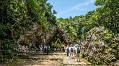
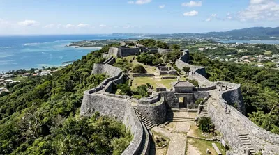
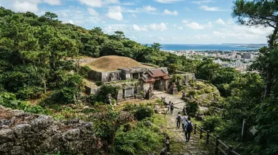
The bay's southern shore is close to several sights worth pairing on the same trip: Kudaka Island (8.4km) and the sacred site of Sefa-utaki (8.7km) are both nearby, as is Nakagusuku Castle (9.9km) for Ryukyu-era ruins, and the Sakima Art Museum (11.9km) for a change of pace inland.
出典:ウィキペディア・OpenStreetMap の公開データ · 2026年8月5日 更新 · 編集 World by City 編集部