World by City

Natur

Nakagusuku Bay

Nakagusuku Bay

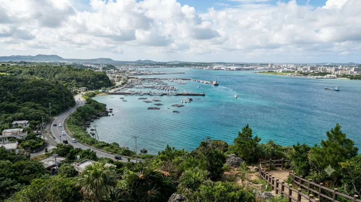
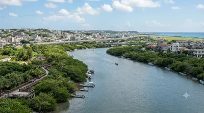
Nakagusuku Bay is a bay on the southern coast of Okinawa Island on the Pacific Ocean in Japan. The bay covers 220 square kilometres (85 sq mi) and ranges between 10 metres (33 ft) to 15 metres (49 ft) deep. The bay is surrounded by the municipalities of Uruma, Kitanakagusuku, Nakagusuku, Nishihara, Yonabaru, Nanjō, all in Okinawa Prefecture. In 1852, while visiting the Ryukyu Kingdom, Commodore Matthew Perry mapped Okinawa and labeled Nakagusuku Bay as "Perry's Bay". During the final months of World War II, the bay became a United States Navy forward base and was nicknamed "Buckner Bay".

Nakagusuku Bay

Nakagusuku Bay is a wide, shallow bay on Okinawa Island's Pacific coast, bordered by several municipalities including Uruma, Nishihara, and Yonabaru. It's a place to experience Okinawa's coastal landscape rather than a single sight to check off: the shoreline mixes fishing ports, quiet beaches, and views out toward Kudaka Island. History buffs may recognize it as "Perry's Bay," mapped by Commodore Matthew Perry in 1852, and later as "Buckner Bay," a major US Navy base in the closing months of World War II.

Getting there

The bay stretches along a long section of coastline rather than sitting at one fixed point, so travel time depends on which part you're headed to. From central Naha, expect roughly 30–45 minutes by car or taxi to reach the western or southern shoreline areas. There's no single train or bus route that serves the whole bay, so a rental car gives the most flexibility for exploring specific spots along it.

How much time to allow

An hour or two is enough for a scenic stop or a short walk along the shore. If you're combining it with driving between other sights in southern Okinawa, the bay mostly serves as a backdrop along the way rather than a destination requiring a dedicated block of time.

When to go

Mornings or late afternoons tend to give calmer water and softer light for photos. Summer brings strong sun and humidity typical of Okinawa, so early or late in the day is more comfortable for time outdoors. The bay itself doesn't draw large crowds, since it's more of a coastal backdrop than a single attraction.

Combine it with

The bay's southern shore is close to several sights worth pairing on the same trip: Kudaka Island (8.4km) and the sacred site of Sefa-utaki (8.7km) are both nearby, as is Nakagusuku Castle (9.9km) for Ryukyu-era ruins, and the Sakima Art Museum (11.9km) for a change of pace inland.

Quellen: offene Daten von Wikipedia und OpenStreetMap · Aktualisiert 5. August 2026 · Redaktion die World by City-Redaktion

Tickets & Touren

Eintrittspreise und Öffnungszeiten ändern sich häufig und stehen daher nicht hier. Unten sehen Sie, was gerade angeboten wird – vorab buchen spart mancherorts Wartezeit.

Dieser Ort erscheint womöglich nicht in den Ergebnissen – manche Ziele sind kostenlos oder verkaufen nur vor Ort.

Unterkünfte nahe Nakagusuku Bay

Nach Entfernung sortiert, fußläufige zuerst. Angaben als Luftlinie.

Karte © OpenStreetMap-Mitwirkende. Linien sind Luftlinien, keine echten Routen.

Nakagusuku Bay Unterkünfte in der Nähe

Lage und Namen stammen aus OpenStreetMap. Preise und Verfügbarkeit bitte auf den Buchungsseiten prüfen.

Passt gut dazu

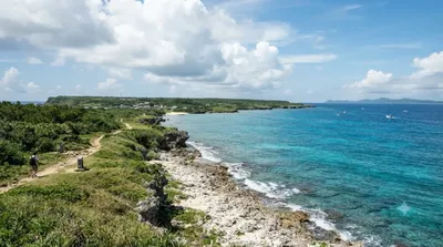
Kudaka Island

Natur

Kudaka Island

Kudaka Island is an island in Ryukyu Islands, located in Nanjō, Okinawa Prefecture, Japan and 5.3 kilometers away from Cape Chinen, Nanjō. From Nanjō, Kudaka Island can be reached by high-speed boat in 15 minutes and by ferry in 20 minutes. It is only about three miles off the southeast coast of Okinawa.

8.4 km entfernt

Seifa Utaki

Denkmäler & Ausgrabungen

Seifa Utaki

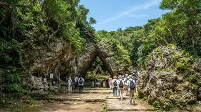
Seifa Utaki ist eine der heiligsten religiösen Stätten der Ryūkyū-Inseln, gelegen auf der Chinen-Halbinsel im südlichen Okinawa, Japan. Die Stätte gilt als zentrales Heiligtum der traditionellen Religion der Ryūkyū und ist ein wichtiger Ort für Ahnenverehrung, Naturreligion und rituelle Zeremonien.

8.7 km entfernt

Burg Nakagusuku

Burgen & Paläste

Burg Nakagusuku

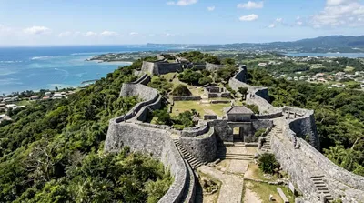
Die Burg Nakagusuku ist eine japanische Burgruine in der Kleinstadt Nakagusuku in der Präfektur Okinawa. Es handelt sich um eine der ältesten Burgen auf den Ryūkyū-Inseln.

9.9 km entfernt

Sakima Art Museum

Museen & Galerien

Sakima Art Museum

Sakima Art Museum is a private art museum that opened in Ginowan, Okinawa Prefecture, Japan in 1994. The collection includes The Battle of Okimawa (沖縄戦の図) by Iri and Toshi Maruki, and works by Käthe Kollwitz, Georges Rouault, Yayoi Kusama, and Ueno Makoto.

11.9 km entfernt

Kokuba River

Natur

Kokuba River

The Kokuba River is a river in Naha, Okinawa, and is the hydrographic resource for domestic urban fresh water. A number of geographical places on Okinawa bear its name, such as Lake Man Park (漫湖公園) and Kokuba Danchi (国場団地). The river flows into the East China Sea.

15.1 km entfernt

Urasoe yōdore

Denkmäler & Ausgrabungen

Urasoe yōdore

Urasoe yōdore is one of the three royal mausoleums of the Ryukyu Kingdom, along with Tamaudun at Shuri Castle and Izena Tamaudun near Izena Castle in Izena, Okinawa. It is located in Urasoe, Okinawa, in a cave on a cliff to the northeast of Urasoe Castle. It houses the remains of three rulers of the Ryukyu Islands, along with one king of the Ryūkyū Kingdom separated from the others by several centuries.

15.2 km entfernt