Nature
Mount Tenpō
What it is
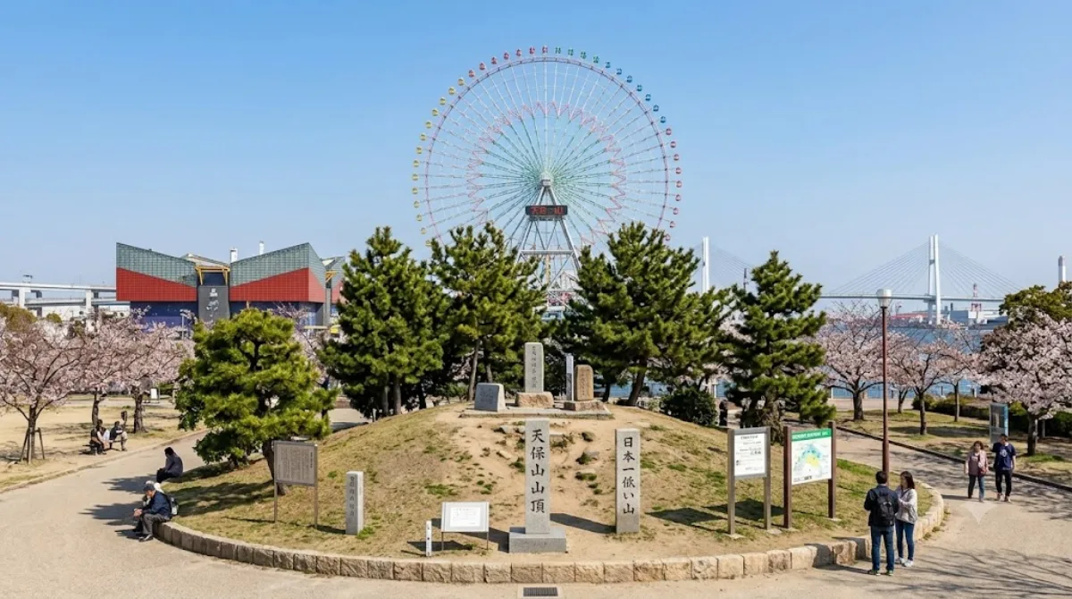
Mount Tenpō is one of the world's smallest named mountains — its summit sits just 4.53 metres above sea level, so it reads as a gentle rise in a waterfront park rather than a climb. It marks the site of a former Edo-period hilltop that was leveled over the centuries by quarrying and land use, and the surrounding grounds now form Tenpōzan Park, a green strip near Osaka's old port. There's a summit marker travellers can photograph, and the appeal is really the novelty of "summiting" a mountain in a few steps, combined with the harbourside setting.
Getting there
From central Osaka (Umeda/Namba), the area is reachable by subway on the Chuo Line to Osakako Station, followed by a short walk of about 5-10 minutes to the park. The trip from the city centre typically takes around 30-40 minutes including the walk.
Time to allow
The mountain and its immediate park area can be seen in 15-30 minutes, since there's no real trail or elevation to speak of.
When to go
Daytime visits are straightforward year-round given the flat, short walk. Because it sits right next to Osaka Aquarium Kaiyukan, the surrounding area can get busy with aquarium crowds, especially on weekends and holidays, though the mountain itself rarely draws a crowd on its own.
What to combine it with
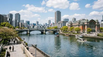
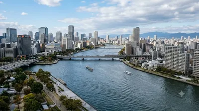
- Kyū-Yodo River (0.2km) — right alongside the park, an easy add-on for a waterfront walk.
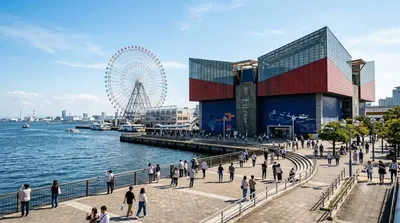
- Osaka Aquarium Kaiyukan (0.5km) — the main draw in the immediate area; pairs naturally with a stop at the mountain before or after.
- Universal Studios Japan (0.7km) — close enough to combine into the same half-day if you're spending time in this bayside part of Osaka.
- Osaka Bay Tower (2.8km) — a bit further out, worth considering if you're already touring the bay area.
Updated September 20, 2026 · Edited by the World by City editors
 GetYourGuide
 Klook
Klook
 Tiqets
 KKday
KKday
 WeGoTrip
 Booking.com
 Hotels.com