Views & landmarks
Umeda Sky Building
What it is
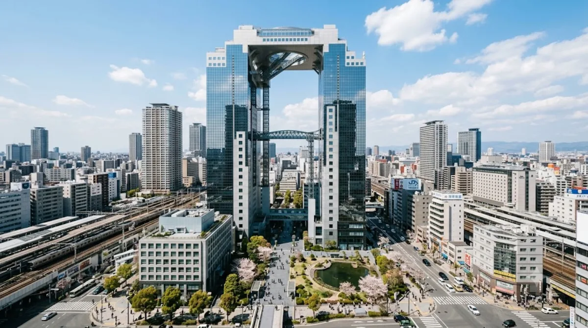
The Umeda Sky Building is a pair of 40-story towers joined at the top by a ring-shaped observation deck, the Floating Garden Observatory. The draw is the open-air escalator that carries you across the gap between the towers near the top, and the 360-degree view over Osaka from the roof, which takes in the Yodo River, the port, and on clear days the hills beyond the city. It's a way to see the scale of Osaka from above without going to one of the more famous, more crowded towers.
Getting there
It sits in Kita-ku, a walk of roughly 10-15 minutes north from Osaka Station or Umeda Station, mostly through an underground passageway that surfaces near the building. There's no direct train stop at the building itself, so allow a bit of extra time if you're unfamiliar with the underground walkways in this part of Umeda.
How long to spend
Most visits, including the elevator and escalator ride up, time on the observation deck, and a look around the basement-level retro market area, take about 1 to 1.5 hours.
When to go
Sunset is the most popular time, since you get both daylight and night views, and this is when it gets busiest. Going earlier in the afternoon or in the morning means shorter waits for the elevators. Clear, low-humidity days give the best visibility.
Combine it with
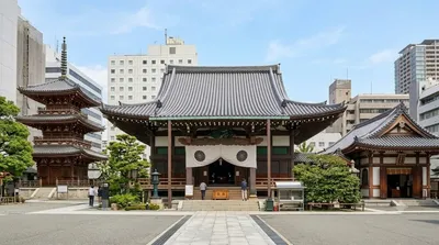
- Taiyū-ji Temple (1.4km) — a quieter, low-key stop within walking distance.
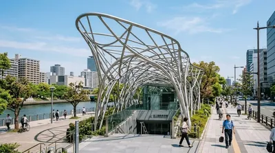
- Nakanoshima (1.5km) — a riverside district worth pairing for a walk.
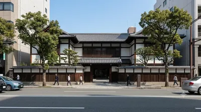
- National Museum of Art, Osaka (1.5km) — same general direction as Nakanoshima.
- Osaka Science Museum (1.6km) — also in the Nakanoshima area, easy to combine with the museum visit.
Updated September 21, 2026 · Edited by the World by City editors
 GetYourGuide
 Klook
Klook
 Tiqets
 KKday
KKday
 WeGoTrip
 Booking.com
 Hotels.com