
2 nights, 3 days
Punakha 3-Day Itinerary (2 Nights)
A 3-day route through Punakha grouped by daily travel distance for optimal sightseeing.
Distances are straight-line, so actual transit times will differ. Feel free to reorder the stops. · Updated August 15, 2026
The whole route at a glance
Map and place data © OpenStreetMap contributors Lines are straight connections, not actual routes.
DAY 1
Around Punakha Dzong · Temples & religious sites·Views & landmarks
Directions in Google Maps-
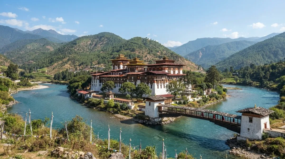
MorningPunakha Dzong
Temples & religious sites
Punakha Dzong serves as the administrative center of Bhutan's Punakha region. Built in 1637, it is the second oldest and second largest dzong in Bhutan and houses sacred relics of the Drukpa Kagyu tradition.
-
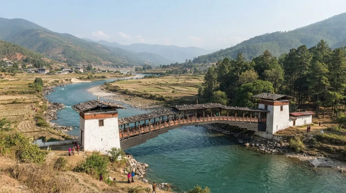
After lunchPunakha Cantilever Bridge
Views & landmarks · 0.2 km from the previous stop
A roofed wooden bridge spanning the Mo Chhu River to Punakha Dzong, notable for its distinctive cantilever structure. It also holds deep religious significance, used when monks move to their winter residence or during festival processions.
-
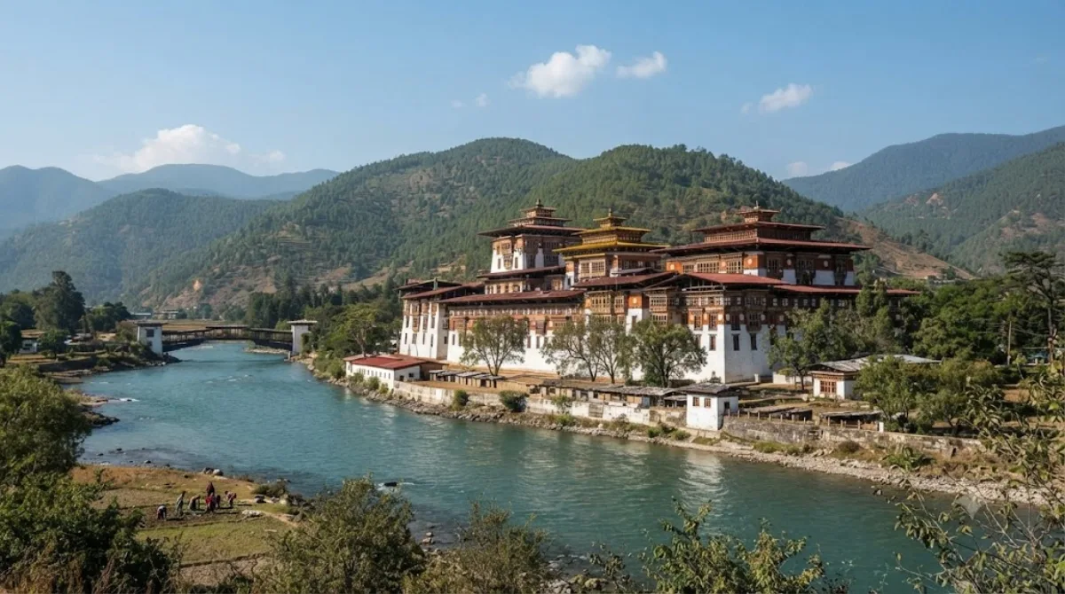
AfternoonMo Chhu
Nature · 0.5 km from the previous stop
A river flowing through Punakha, Bhutan, originating in the mountains along the Tibetan border and running south. Just below where it meets the Pho Chhu River stands Punakha Dzong, set against beautiful scenery.
-
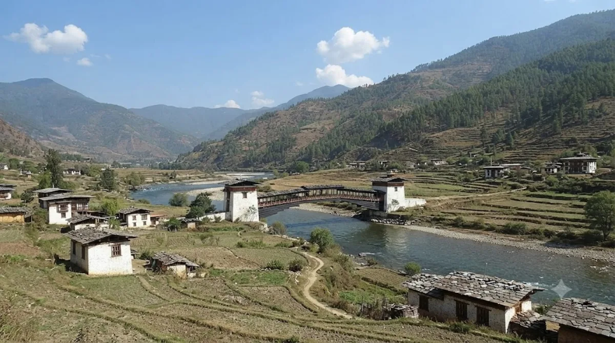
EveningSankosh River
Nature · 0.1 km from the previous stop
A river that rises in northern Bhutan and flows into the Brahmaputra River in Assam, India; the section near Wangdue Phodrang is also known as the Puna Tsang Chhu.
DAY 2
Around Nalanda Buddhist Institute · Temples & religious sites·Views & landmarks
Directions in Google Maps-
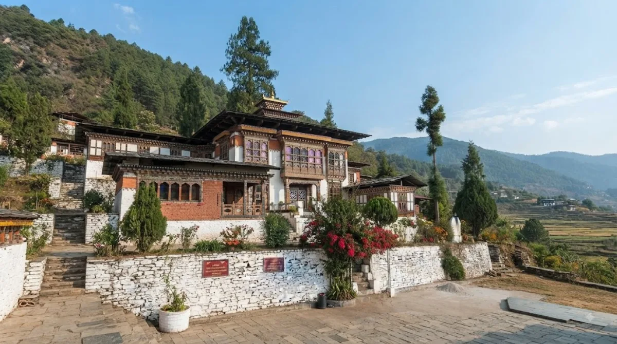
MorningNalanda Buddhist Institute
Temples & religious sites
A Buddhist monastic college set on a hillside on the outskirts of Punakha, below Talo Monastery and above Wolakha village. It's about a 25-minute drive from the main road, making the quiet mountain approach part of the experience.
-
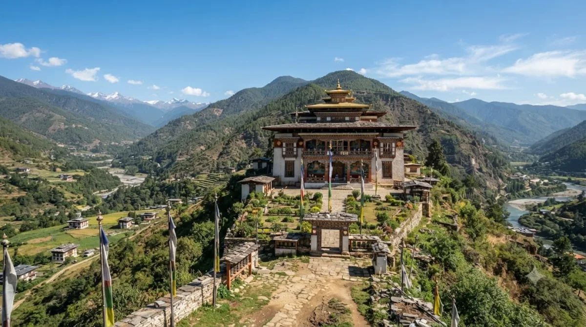
AfternoonTalo Monastery
Temples & religious sites · 1.1 km from the previous stop
A three-story Buddhist monastery perched on a hill near Punakha, 2,800 meters above sea level. Considered one of Bhutan's most sacred sites, the mountain trail leading up to it offers serene scenery along with traces of deep devotion.
-
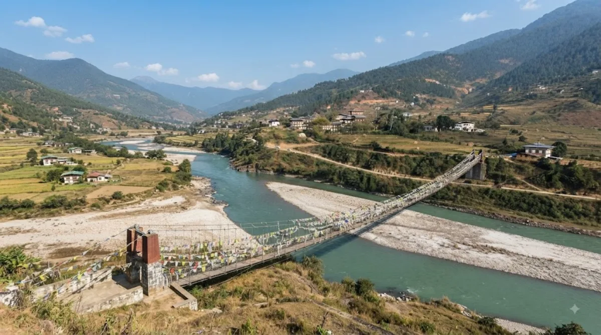
EveningPunakha Suspension Bridge
Views & landmarks · 6.3 km from the previous stop
This long suspension bridge spans the river running through Punakha and is colorfully decorated with prayer flags. It's a great spot to enjoy valley views while crossing.
DAY 3
Around Pho Chhu · Nature
-
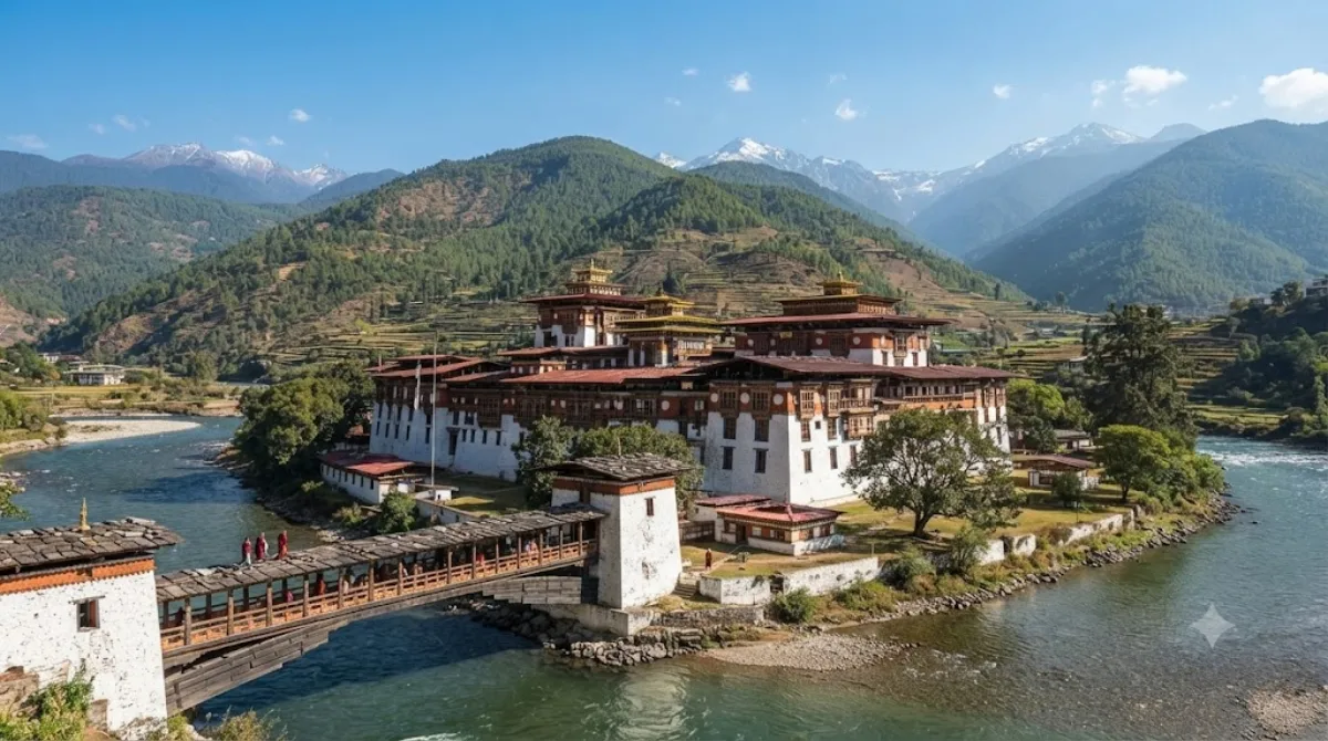
All dayPho Chhu
Nature
One of Bhutan's major rivers, it originates in the Gasa region bordering Tibet and flows down to Punakha. Below Punakha Dzong, it meets the Mo Chhu river, forming a scenic confluence.
Where to stay for this itinerary
Around Punakha Dzong, the anchor of day one. Staying here keeps your first day's travel shortest.
-
Sonam Pelgye Hotel
0.2 km
-
White Dragon Hotel
3.4 km
-
Kuenga Hotel
3.4 km
-
Tashi Yarphel Hotel
3.5 km
-
Punakha Botique
3.5 km
-
Punakha Residency
3.6 km
 Booking.com
 Hotels.com
Check prices and availability on the booking sites.
More stays in Punakha →Check flights to Punakha first
Pick a departure airport and date to jump straight to results for Paro Airport (PBH).
Check fares and seat availability on the flight search site.
Tours & tickets for this itinerary
Popular sights often sell out on the day. Once your plan is set, secure tickets and tours in advance.
 GetYourGuide
 Klook
Klook
 Tiqets
 KKday
KKday
 WeGoTrip