Views & landmarks
Cathay Landmark
Cathay Landmark
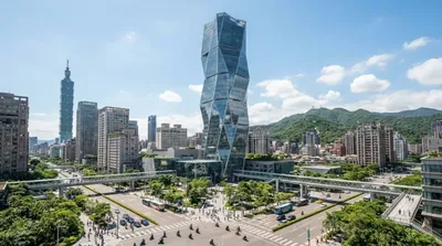
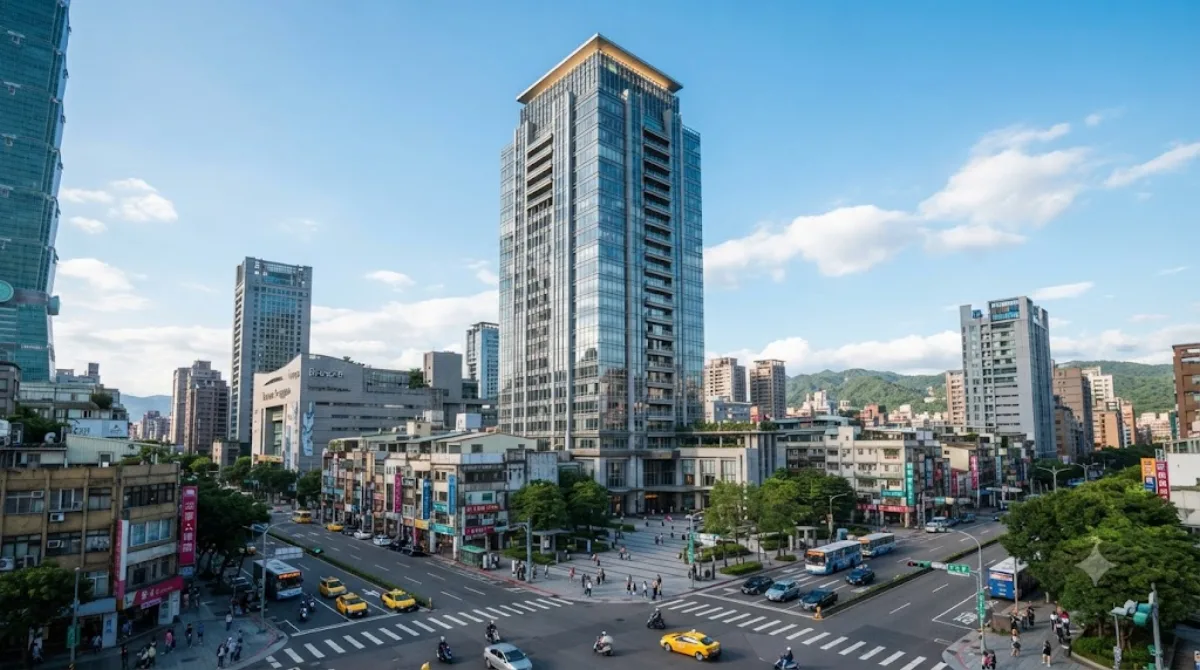
Cathay Landmark is a 212-metre, 46-storey office and retail tower in the Xinyi Special District, Taipei's cluster of high-rises near Taipei 101. It's not a dedicated observation deck attraction like some of its neighbours; travellers typically come for the building itself as part of walking through the Xinyi skyline, or because it houses shops and restaurants at street level, rather than for a ticketed viewing experience. The building was designed by architect Kris Yao.
Getting there
From central Taipei, the Xinyi district is reachable by MRT (Taipei 101/World Trade Center or City Hall stations on the Red Line), typically 20-30 minutes from stations like Taipei Main Station. From Taoyuan International Airport (TPE), allow around an hour into the city centre before factoring in the local transfer.
Time to allow
If you're simply passing by or browsing the retail level, 15-30 minutes is enough. Add more time if you plan to explore the surrounding Xinyi Special District on the same walk.
When to go
As this is a working office and commercial building rather than a standalone sight, there's no particular need to time a visit around crowds the way you might for a viewing platform. Evenings can be pleasant for seeing the district's towers lit up.
Combine with
- Farglory Financial Center (0.3km) — another nearby Xinyi tower, an easy add-on.
- The Sky Taipei (0.5km) — close by for shopping or dining.
- Taipei Nan Shan Plaza (0.7km) — a short walk further into the district.
- Sun Yat-sen Memorial Hall (0.7km) — a change of pace with parkland and a cultural site, also about 0.7km away.
Updated September 20, 2026 · Edited by the World by City editors
 GetYourGuide
 Klook
Klook
 Tiqets
 KKday
KKday
 WeGoTrip
 Booking.com
 Hotels.com