Nature
Schwarzhorn (Rätikon)
Overview
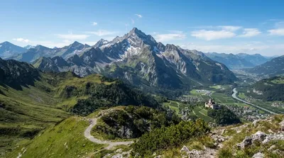
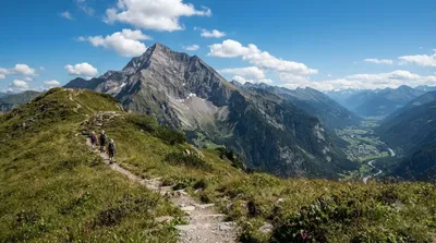
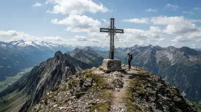
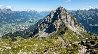
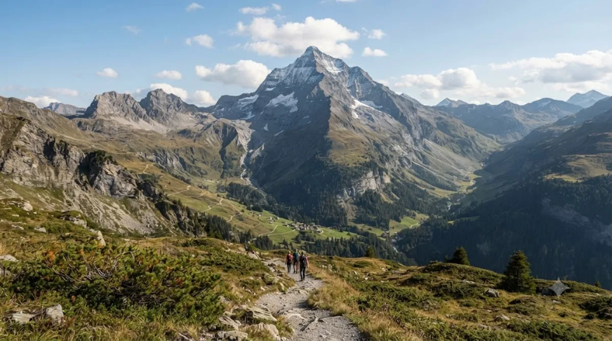
Schwarzhorn is an Alpine mountain in the Rätikon range, rising over 2,570 meters along the border between Liechtenstein and Switzerland. As Liechtenstein's second-highest peak, it serves as a destination for hikers seeking demanding high-altitude routes along rugged ridgelines.
Getting There
From central Vaduz, travel south toward Steg or Malbun by car or regional bus (roughly 20 to 30 minutes), then continue on foot along marked alpine paths. Hiking to the ridge typically requires 3 to 5 hours from the starting trailheads.
Time to Allow
Allocate a full day of 6 to 8 hours for the complete round trip, allowing sufficient buffer for steep climbs and high-elevation pacing.
When to Visit
The standard hiking season runs from July to September, when upper trails are generally clear of snow. Depart early in the morning to avoid afternoon storms and heat. Crowds are rare due to the physical difficulty of the terrain.
Nearby Peaks to Combine
Hikers can connect the route with several surrounding summits:
- Grauspitz (0.5 km) – Liechtenstein's highest peak, situated along the adjacent ridge.
- Plasteikopf (1.4 km) – A neighboring summit accessible via connecting ridge paths.
- Naafkopf (1.6 km) – A nearby mountain where the borders of Liechtenstein, Switzerland, and Austria meet.
- Falknis (1.8 km) – Another prominent peak along the ridge line.
Updated September 8, 2026 · Edited by the World by City editors
 GetYourGuide
 Klook
Klook
 Tiqets
 KKday
KKday
 WeGoTrip
 Booking.com
 Hotels.com