Nature
Falknis
Overview
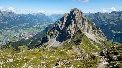
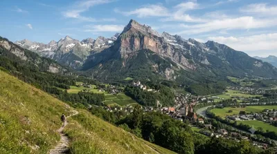
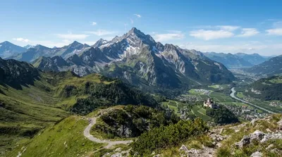
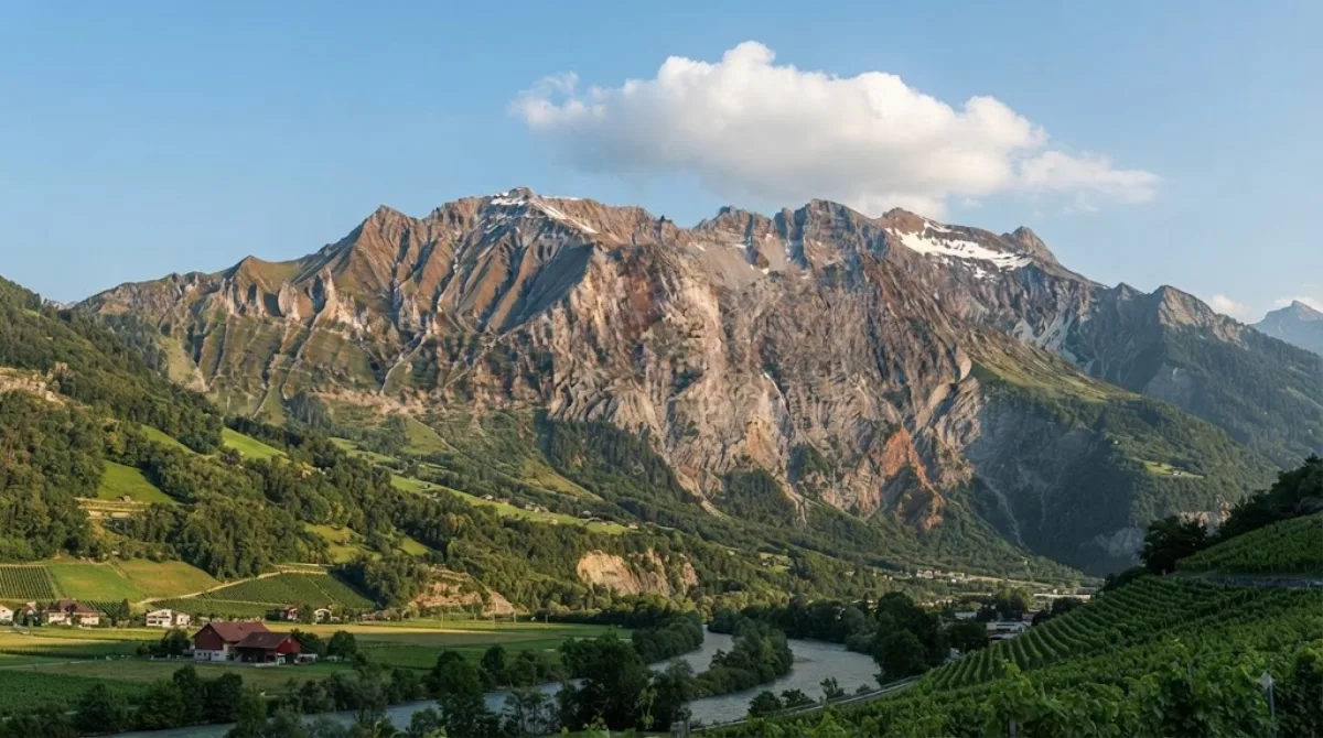
Falknis is a 2,562-meter peak in the Rätikon range of the Eastern Alps, located on the border between Liechtenstein and the Swiss canton of Graubünden. Travellers visit the summit for clear views across the Rhine Valley and mountain terrain in both countries.
Getting There from Vaduz
From central Vaduz, travel south toward trailheads near Balzers or adjacent Swiss points like Fläsch. Driving or taking a bus to the base takes 20 to 30 minutes. The uphill hike to the summit from the trailheads takes roughly 4 to 6 hours.
Time to Allow
Allow a full day (7 to 9 hours) for the round-trip trek to safely handle the elevation gain and descent.
When to Visit
The hiking window is late June through October, once the winter snow clears. Start early in the morning to avoid heat and afternoon storms. The peak is rarely crowded, though local hikers visit on sunny weekends. Avoid the trail during rain, fog, or snow.
Nearby Peaks
You can combine the route with nearby summits:
- Mazorakopf (0.6km): Located directly south along the ridge.
- Rotspitz (1.2km): An adjacent summit along the connecting trail.
- Grauspitz (1.3km): Liechtenstein's highest point, located to the southeast.
- Schwarzhorn (Rätikon) (1.8km): A neighboring peak in the same mountain group.
Updated September 8, 2026 · Edited by the World by City editors
 GetYourGuide
 Klook
Klook
 Tiqets
 KKday
KKday
 WeGoTrip
 Booking.com
 Hotels.com