Nature
Plasteikopf
Overview
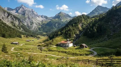
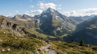
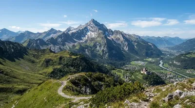
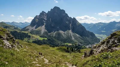
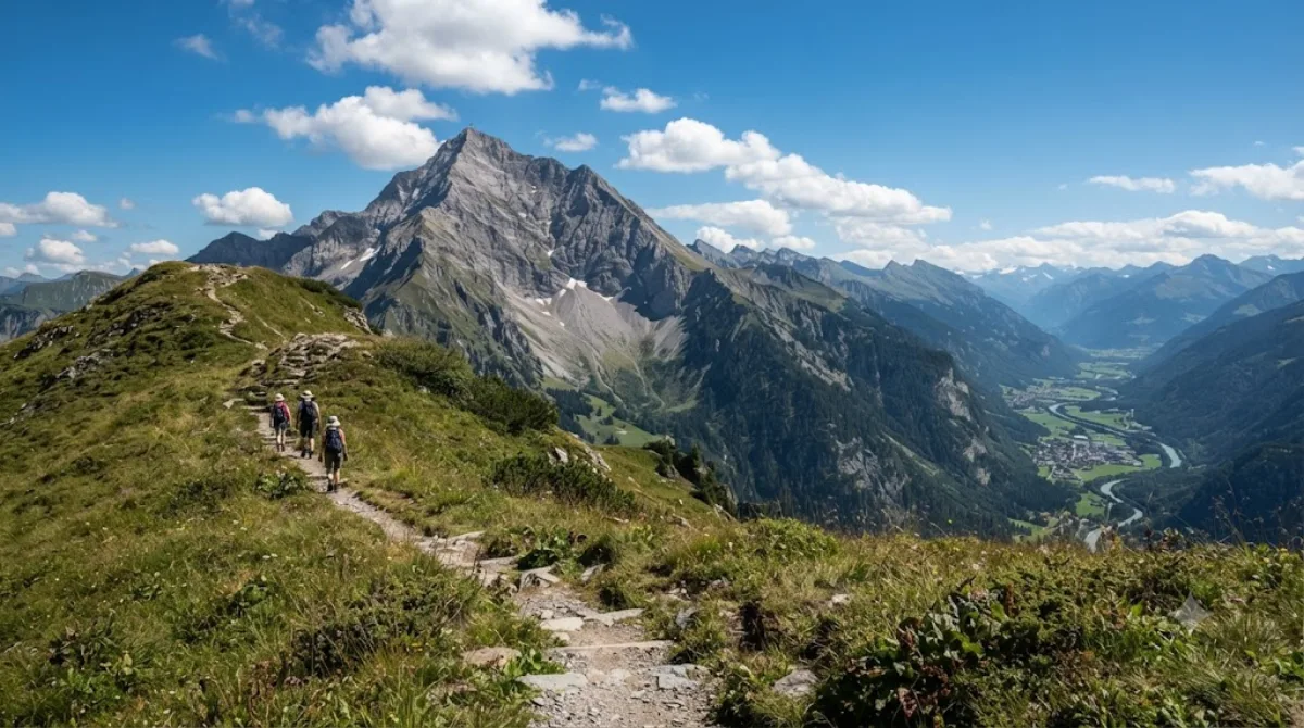
Plasteikopf is an alpine peak standing at 2,356 meters in the Rätikon range of the Eastern Alps, located near the border between Liechtenstein and Switzerland. Travellers visit primarily to hike along the high-elevation ridgeline and observe the surrounding mountain terrain and valleys.
Getting There
From central Vaduz, take a local bus or drive to the nearby trailheads in the southern valleys in roughly 20 to 30 minutes. From the trailheads, reaching the summit requires an uphill trek on foot that generally takes 3 to 5 hours depending on your route and pace.
Time to Spend
Budget a full day—approximately 6 to 8 hours—for the round-trip ascent, time on the summit, and the descent back to the valley.
When to Visit
The practical window for hiking is from July to September when alpine routes are free of snow. An early morning start is recommended to avoid afternoon weather shifts and ensure adequate daylight. Due to the steep terrain and physical effort required, the trails do not get crowded.
Nearby Sights to Combine
Because of its position along the ridge network, the summit can be combined with other nearby geographical points on the same trail system:
- Lawena (1.4km)
- Schwarzhorn (Rätikon) (1.4km)
- Grauspitz (1.4km)
- Rappenstein (1.5km)
Updated September 8, 2026 · Edited by the World by City editors
 GetYourGuide
 Klook
Klook
 Tiqets
 KKday
KKday
 WeGoTrip
 Booking.com
 Hotels.com