World by City

Natur

Cu Đê River

Cu Đê River

The Cu Đê River, other name Trường Định River is a river of Da Nang, Vietnam.

What It Is

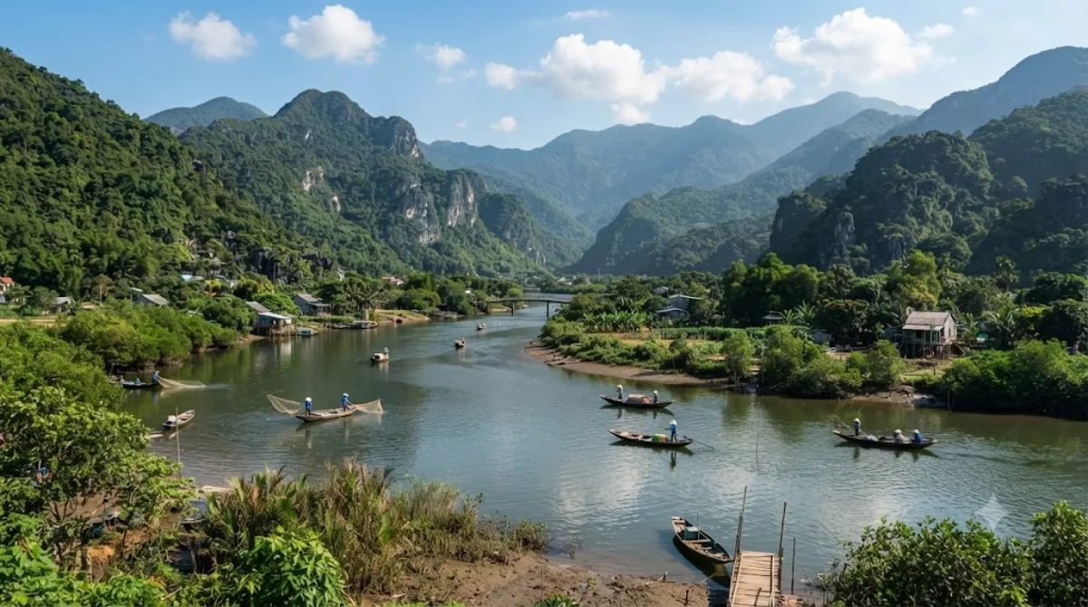
The Cu Đê River, also known as the Trường Định River, runs through the northern part of Da Nang. It's a working, low-key waterway rather than a tourist site with facilities — travellers typically pass through or along it while heading to the beaches and hills at the northern edge of the city, catching views of the river meeting the coastline near Nam Ô.

Getting There

The river lies north of central Da Nang, roughly a 20-30 minute drive from the city centre depending on traffic, most easily reached by taxi, motorbike, or ride-hailing app. There's no dedicated public transport route directly to the riverbanks.

Time Needed

Since this isn't a site with a defined visitor area, most people spend anywhere from a quick stop of 15-20 minutes to an hour if combining it with a walk along the nearby coast or a meal at a riverside spot.

When to Go

Mornings or late afternoons tend to be more comfortable, avoiding the midday heat common to central Vietnam. This isn't a crowded destination, so timing is more about weather and light than avoiding crowds.

Combine With

  • Da Nang Bay (5.6km) - the closest option, easy to pair on the same outing.
  • Danang Hi-tech Park (7.5km) - a short drive further inland.
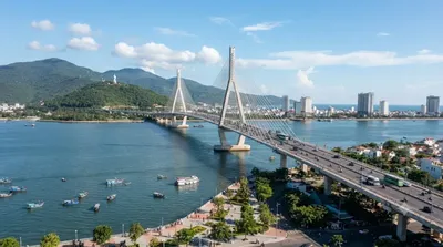
  • Han River (10.5km) and Thuận Phước Bridge (10.9km) - both back toward the city centre, worth combining if you're making a loop that ends downtown, especially around sunset for the bridge.

Quellen: offene Daten von Wikipedia und OpenStreetMap · Aktualisiert 5. August 2026 · Redaktion die World by City-Redaktion

Tickets & Touren

Eintrittspreise und Öffnungszeiten ändern sich häufig und stehen daher nicht hier. Unten sehen Sie, was gerade angeboten wird – vorab buchen spart mancherorts Wartezeit.

Dieser Ort erscheint womöglich nicht in den Ergebnissen – manche Ziele sind kostenlos oder verkaufen nur vor Ort.

Unterkünfte nahe Cu Đê River

Nach Entfernung sortiert, fußläufige zuerst. Angaben als Luftlinie.

Karte © OpenStreetMap-Mitwirkende. Linien sind Luftlinien, keine echten Routen.

Cu Đê River Unterkünfte in der Nähe

Lage und Namen stammen aus OpenStreetMap. Preise und Verfügbarkeit bitte auf den Buchungsseiten prüfen.

Passt gut dazu

Da Nang Bay

Natur

Da Nang Bay

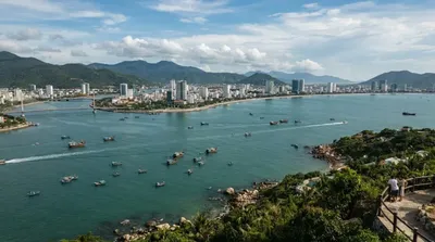
Da Nang Bay, formerly known as Tourane Bay, is a bay of the South China Sea along the coast of Da Nang, Vietnam. The bay is entered between the Sơn Trà Peninsula and the Hải Vân Mountain, 4 miles Northwest.

5.6 km entfernt

Hai-Van-Pass

Natur

Hai-Van-Pass

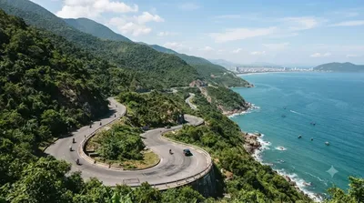
Der Hai-Van- oder Wolken-Pass bildet die natürliche Grenze und Wetterscheide zwischen Nord- und Süd-Vietnam. Er ist ca. 20 km lang, erreicht 496 Meter Höhe und führt über den Ausläufer der Truong-Son-Berge, der bis zum Meer reicht. Vom höchsten Punkt bietet sich ein Panoramablick über den Ozean, nach Đà Nẵng und die Halbinsel Son Tra. Oftmals aber ist der Pass in Wolken gehüllt.

7.2 km entfernt

다낭 하이테크 파크

Parks & Gärten

다낭 하이테크 파크

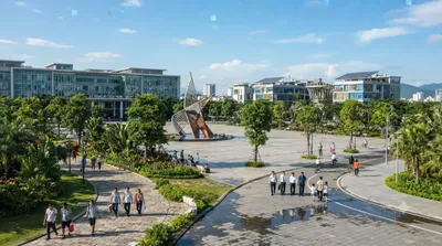
다낭 하이테크 파크(베트남어: Khu công nghệ cao Đà Nẵng, 영어: Danang Hi-tech Park)는 2010년 10월 28일에 발행된 베트남 총리의 1979/QĐ-TTg 결정에 따라 설립되었다. 하노이의 호알락 하이테크 파크와 호찌민의 사이공 하이테크 파크 이후에 세 번째로 설립된 하이테크 파크이다.

7.5 km entfernt

Hàn-Fluss

Natur

Hàn-Fluss

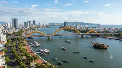
한강(Sông Hàn, 또는 Hàn giang; 瀚江)은 베트남 남중부 지방에 위치한 강이다. 베트남 꽝남 성에서 발원하여, 다낭에서 남중국해로 빠져나간다. 한강은 길이 약 7 km로, 강폭은 약 900 m~1,200 m, 평균 수심은 약 4~5 m에 이른다.

10.5 km entfernt

투언안프억교

Aussicht & Wahrzeichen

투언안프억교

투언안프억 교(베트남어: Cầu Thuận Phước / 橋順福)는 베트남 다낭의 한강 하류에 가설된 현수교이다.

10.9 km entfernt

Dien Hai Citadel

Burgen & Paläste

Dien Hai Citadel

11.5 km entfernt