World by City

Nature

Cu Đê River

Cu Đê River

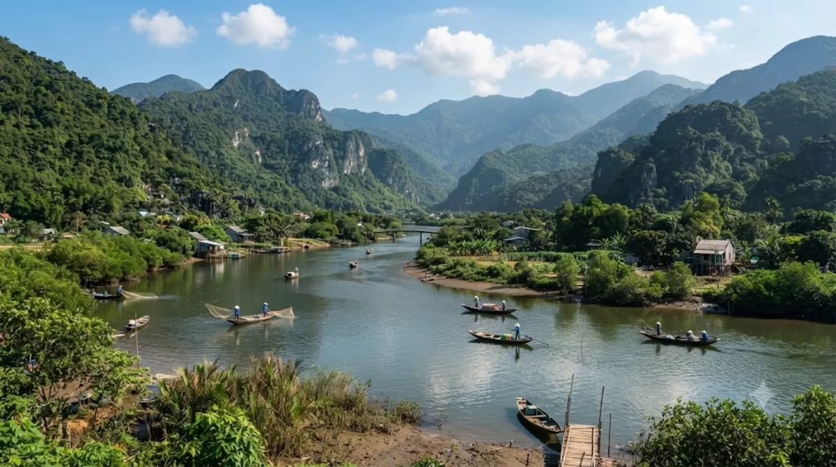
The Cu Đê River, other name Trường Định River is a river of Da Nang, Vietnam.

What It Is

The Cu Đê River, also known as the Trường Định River, runs through the northern part of Da Nang. It's a working, low-key waterway rather than a tourist site with facilities — travellers typically pass through or along it while heading to the beaches and hills at the northern edge of the city, catching views of the river meeting the coastline near Nam Ô.

Getting There

The river lies north of central Da Nang, roughly a 20-30 minute drive from the city centre depending on traffic, most easily reached by taxi, motorbike, or ride-hailing app. There's no dedicated public transport route directly to the riverbanks.

Time Needed

Since this isn't a site with a defined visitor area, most people spend anywhere from a quick stop of 15-20 minutes to an hour if combining it with a walk along the nearby coast or a meal at a riverside spot.

When to Go

Mornings or late afternoons tend to be more comfortable, avoiding the midday heat common to central Vietnam. This isn't a crowded destination, so timing is more about weather and light than avoiding crowds.

Combine With

  • Da Nang Bay (5.6km) - the closest option, easy to pair on the same outing.
  • Danang Hi-tech Park (7.5km) - a short drive further inland.
  • Han River (10.5km) and Thuận Phước Bridge (10.9km) - both back toward the city centre, worth combining if you're making a loop that ends downtown, especially around sunset for the bridge.

Sources: open data from Wikipedia and OpenStreetMap · Updated August 5, 2026 · Edited by the World by City editors

Tickets & tours

Admission prices and opening hours change often, so we don't list them here. Check what's on sale and at what price below — booking ahead can cut the queue at some places.

This place may not appear in the results — some sites are free to enter or sell tickets only at the gate.

Stays near Cu Đê River

Sorted by distance, walkable ones first. Distances are straight-line.

Map © OpenStreetMap contributors. Lines are straight connections, not actual routes.

Cu Đê River Nearby stays

Locations and names come from OpenStreetMap. Check prices and availability on the booking sites.

Good to visit alongside

Da Nang Bay

Nature

Da Nang Bay

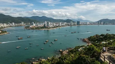
Da Nang Bay, formerly known as Tourane Bay, is a bay of the South China Sea along the coast of Da Nang, Vietnam. The bay is entered between the Sơn Trà Peninsula and the Hải Vân Mountain, 4 miles Northwest.

5.6 km away

Hai Van Pass

Nature

Hai Van Pass

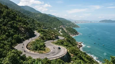
The Hải Vân Pass, is an approximately 21-kilometre (13 mi) long mountain pass on National Route 1 in Vietnam. It traverses a spur of the larger Annamite Range that juts into the South China Sea on the border of Đà Nẵng and Huế, near Bạch Mã National Park. Its name refers to the mists that rise from the sea, reducing visibility. Historically, the pass was a physical division between the kingdoms of Champa and Đại Việt from 1306 until Vietnamese invasion in 1471.

7.2 km away

Danang Hi-tech Park

Parks & gardens

Danang Hi-tech Park

Da Nang Hi-tech Park (DHTP) was established under the Decision No. 1979/QD-TTg dated on October 28, 2010, of the Vietnamese Prime Minister.

7.5 km away

Han River

Nature

Han River

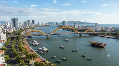
The Hàn River is a river entirely located in the city of Da Nang, Vietnam. It is formed at the confluence of the Cẩm Lệ and the Đò Toản, where they join at the tripoint of the Da Nang city wards Hòa Xuân, Ngũ Hành Sơn, and Hòa Cường. From that confluence, the Hàn River flows north for about 9.8 km, through the city center, under six bridges, before emptying into the Da Nang Bay.

10.5 km away

Thuận Phước Bridge

Views & landmarks

Thuận Phước Bridge

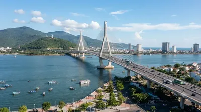
The Thuận Phước Bridge is a suspension bridge that spans the mouth of the Han River in the port city Da Nang, Vietnam.

10.9 km away

Dien Hai Citadel

Castles & palaces

Dien Hai Citadel

11.5 km away