Nature
Da Nang Bay
What it is
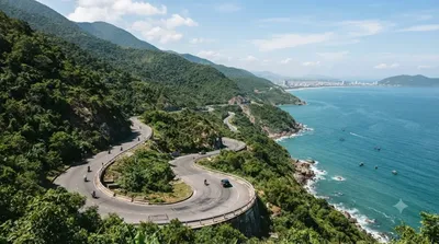
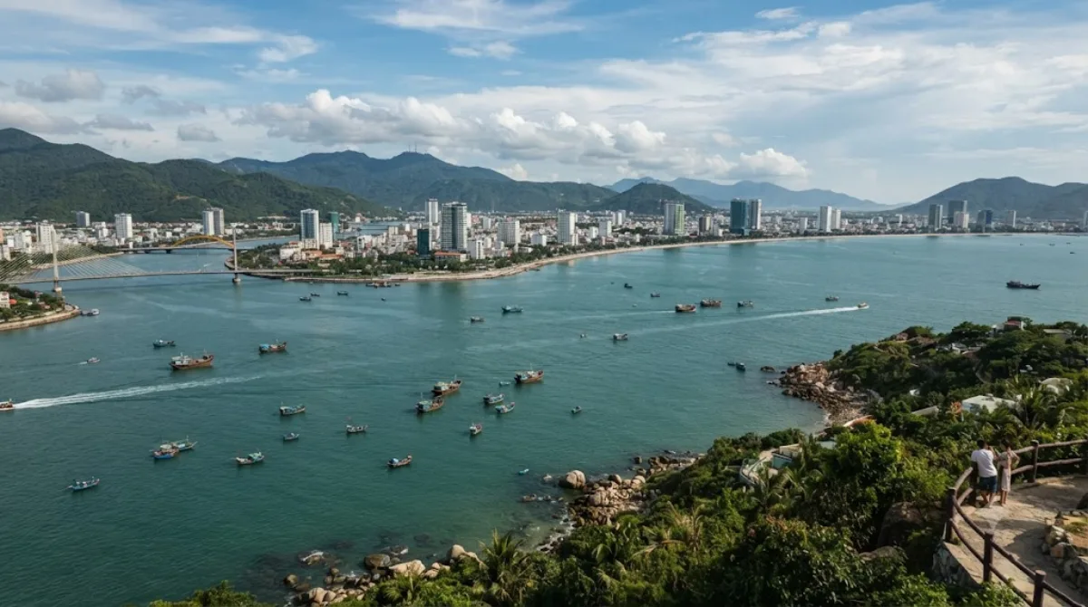
Da Nang Bay is the broad curve of coastline where the city meets the South China Sea, framed by the Sơn Trà Peninsula on one side and the Hải Vân Mountain range in the distance to the northwest. It's not a single sight so much as the setting for Da Nang itself — the beaches, the fishing harbor, and the road along the water all sit on this bay. Travelers come here for the open sea view, the mountain backdrop, and the coastal walking or driving route rather than for a specific monument.
Getting there
The bay borders the city directly, so most central hotels are within a short taxi or motorbike ride of a viewpoint or beach along the shore. Traveling from downtown Da Nang typically takes well under 30 minutes depending on which stretch of coast you're heading to.
How much time to allow
An hour or two is enough for a walk or a drive along the waterfront. If you plan to spend time on a beach or cycle further along the coast road toward Sơn Trà, allow half a day.
When to go
Early morning or late afternoon offers cooler temperatures and softer light over the water. The coast road and beachfront areas can get busy with traffic and visitors during peak holiday periods, so weekday mornings tend to be quieter.
Combine it with
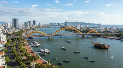
- Han River (6km) and Han River Bridge (8.4km) — the river flows into the bay, and the riverside area makes a natural extension of a coastal outing.
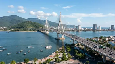
- Thuận Phước Bridge (6.5km) — spans the mouth of the Han River near where it meets the bay, worth seeing on the same trip.
- Cu Đê River (5.6km) — another nearby waterway to combine with a longer coastal route north of the city.
Updated September 20, 2026 · Edited by the World by City editors
 GetYourGuide
 Klook
Klook
 Tiqets
 KKday
KKday
 WeGoTrip
 Booking.com
 Hotels.com