Nature
Han River
What it is
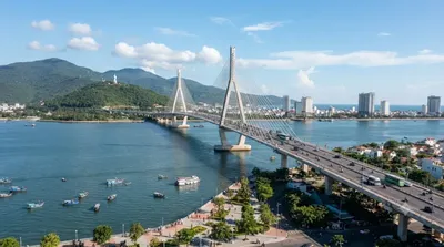
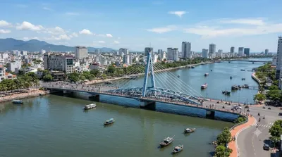
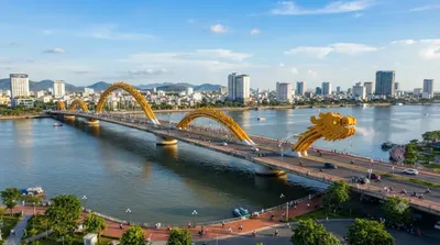
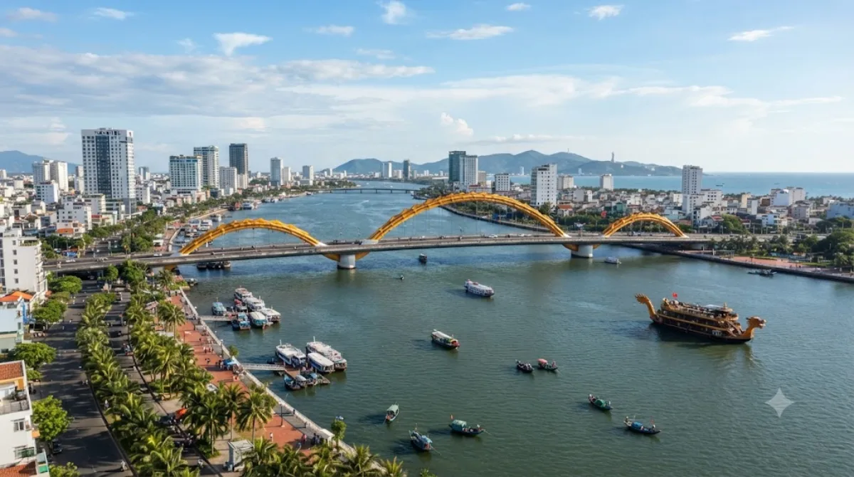
The Hàn River runs through the center of Da Nang, formed where the Cẩm Lệ and Đò Toản rivers meet and flowing north for about 9.8 km before reaching Da Nang Bay. There's no single site to visit — the appeal is the riverfront itself: promenades on both banks, views of the six bridges that cross it, and boats on the water in the evening. It's a place to walk, cycle, or sit rather than a single attraction with an entrance.
Getting there
The river runs through the city center, so if you're staying anywhere near central Da Nang you can likely walk to a section of the riverfront. From other parts of the city, a taxi or ride-hailing app will get you to the banks in well under 20 minutes.
How much time to allow
An hour or two is enough for a walk along the promenade or to watch the bridges light up. If you plan to take a river cruise or linger over dinner at a riverside restaurant, allow closer to half a day.
When to go
Early evening is the most popular time, when the heat has eased and the bridges and boats are lit up — expect crowds along the banks and near the bridges at this time, especially on weekends. Daytime visits are quieter but offer less atmosphere. The riverfront has little shade, so midday can be uncomfortably hot.
What to combine it with
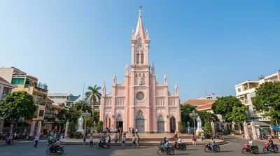
The Thuận Phước Bridge is right on the river, only 0.6 km away, and makes an easy extension of a riverside walk. Han River Bridge, Da Nang's well-known swing bridge, is about 2.8 km along the same river. Da Nang Cathedral and the Roman Catholic Diocese of Đà Nẵng are both roughly 3.4 km away and can be paired together if you're heading further into the city center.
Updated September 20, 2026 · Edited by the World by City editors
 GetYourGuide
 Klook
Klook
 Tiqets
 KKday
KKday
 WeGoTrip
 Booking.com
 Hotels.com