Natur
Hàn-Fluss
Han River
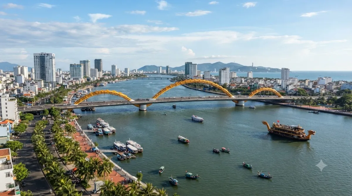
Der Han-Fluss in Da Nang
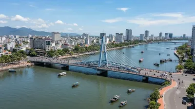
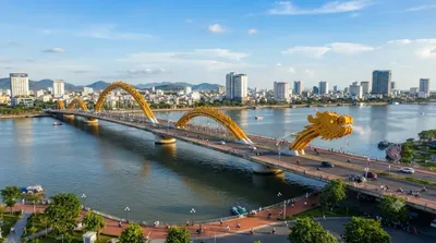
Der Han-Fluss fließt durch das Zentrum von Da Nang und entsteht aus dem Zusammenflusslauf der Flüsse Cam Le und Do Toan. Er erstreckt sich über etwa 9,8 Kilometer durch das Stadtgebiet, führt unter sechs Brücken hindurch und mündet schließlich in die Bucht von Da Nang. Reisende besuchen das Flussufer, um die städtische Architektur zu beobachten und die verschiedenen Brückenkonstruktionen zu sehen.
Anreise und Zeitplanung
Da der Fluss direkt durch das Stadtzentrum fließt, ist er von den meisten zentralen Unterkünften aus fußläufig erreichbar. Je nach Startpunkt dauert der Weg zum Ufer nur wenige Minuten. Für einen Spaziergang entlang des Ufers oder eine kurze Bootsfahrt sollten etwa zwei bis drei Stunden eingeplant werden.
Beste Besuchszeit
Ein Besuch am späten Nachmittag oder Abend ist empfehlenswert, da zu dieser Zeit die Beleuchtung der Brücken aktiviert wird. In den Abendstunden und an Wochenenden ist an den Uferpromenaden mit einem hohen Besucheraufkommen zu rechnen.
Kombinationsmöglichkeiten
Aufgrund der zentralen Lage lassen sich weitere Sehenswürdigkeiten in die Planung integrieren:
- Thuận Phước Bridge: 0,6 km entfernt
- Dien Hai Citadel: 2,3 km entfernt
- Han River Bridge: 2,8 km entfernt
- Da Nang Cathedral: 3,4 km entfernt
Aktualisiert 20. September 2026 · Redaktion die World by City-Redaktion
 GetYourGuide
 Klook
Klook
 Tiqets
 KKday
KKday
 WeGoTrip
 Booking.com
 Hotels.com