World by City

自然

ハン川

Han River

ハン川

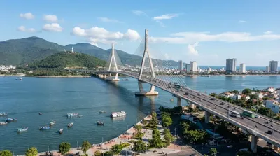
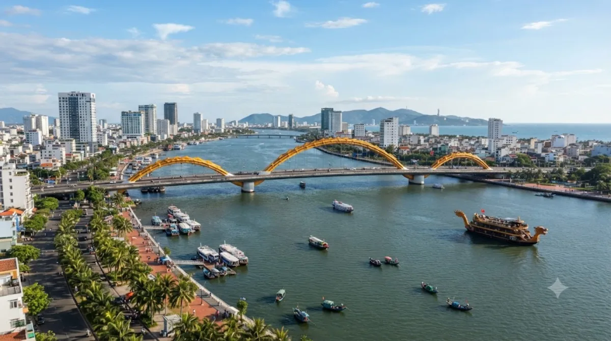
ハン川 は、ベトナムの南中部に位置する川である。川はクアンナム省で始まり、ダナンで南シナ海に注ぐ。カムレ川とヴィンディエン川の合流地点から河口までの約7.7kmをハン川と呼称する。

What it is

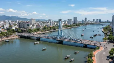
The Hàn River runs through the center of Da Nang, formed where the Cẩm Lệ and Đò Toản rivers meet and flowing north for about 9.8 km before reaching Da Nang Bay. There's no single site to visit — the appeal is the riverfront itself: promenades on both banks, views of the six bridges that cross it, and boats on the water in the evening. It's a place to walk, cycle, or sit rather than a single attraction with an entrance.

Getting there

The river runs through the city center, so if you're staying anywhere near central Da Nang you can likely walk to a section of the riverfront. From other parts of the city, a taxi or ride-hailing app will get you to the banks in well under 20 minutes.

How much time to allow

An hour or two is enough for a walk along the promenade or to watch the bridges light up. If you plan to take a river cruise or linger over dinner at a riverside restaurant, allow closer to half a day.

When to go

Early evening is the most popular time, when the heat has eased and the bridges and boats are lit up — expect crowds along the banks and near the bridges at this time, especially on weekends. Daytime visits are quieter but offer less atmosphere. The riverfront has little shade, so midday can be uncomfortably hot.

What to combine it with

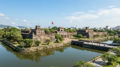
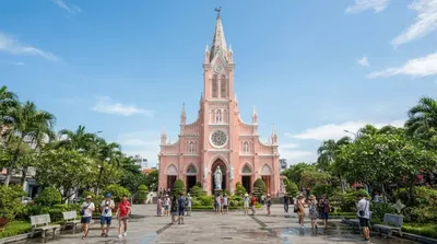
The Thuận Phước Bridge is right on the river, only 0.6 km away, and makes an easy extension of a riverside walk. Han River Bridge, Da Nang's well-known swing bridge, is about 2.8 km along the same river. Da Nang Cathedral and the Roman Catholic Diocese of Đà Nẵng are both roughly 3.4 km away and can be paired together if you're heading further into the city center.

出典:ウィキペディア・OpenStreetMap の公開データ · 2026年8月5日 更新 · 編集 World by City 編集部

チケット・ツアー予約

入場料や営業時間は変わりやすいためここには載せていません。下で現在販売中のチケットと価格をご確認ください。事前購入で待ち時間を減らせる場所もあります。

検索結果にこの場所のチケットがない場合もあります。入場無料、または現地販売のみの施設もあります。

ハン川 周辺の宿

歩いて行ける距離から近い順に並べています。距離は直線距離です。

地図 © OpenStreetMap 寄稿者。直線でつないでいるため実際の経路とは異なります。

ハン川 周辺の宿

宿の位置と名称は OpenStreetMap のデータに基づきます。価格と空室は各予約サイトでご確認ください。

この場所を含む日程

あわせて訪れたい場所

トアンフック橋

展望・ランドマーク

トアンフック橋

투언안프억 교(베트남어: Cầu Thuận Phước / 橋順福)는 베트남 다낭의 한강 하류에 가설된 현수교이다.

ここから 0.6 km

ディエン・ハイ城塞

城・宮殿

ディエン・ハイ城塞

ここから 2.3 km

ハン川橋

展望・ランドマーク

ハン川橋

ハン川橋 は、ベトナムのダナンにある橋。ダナンの街の中心部はハン川(瀚江)の西岸に、ビーチは東岸にある。ハン川橋は、観光客がホテルから海岸へ向かう際の経路となっている。

ここから 2.8 km

다낭 대성당

寺社・宗教施設

다낭 대성당

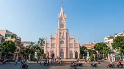
다낭 대성당(베트남어: Nhà thờ chính tòa Đà Nẵng)은 베트남 중부 다낭 대교구의 성당으로, 다낭 시 쩐푸 거리 156에 위치해 있다. 이 성당은 프랑스 식민지 시대 다낭에 지어진 유일한 성당이다.

ここから 3.4 km

Roman Catholic Diocese of Đà Nẵng

寺社・宗教施設

Roman Catholic Diocese of Đà Nẵng

The Diocese of Đà Nẵng is a Roman Catholic diocese in central Vietnam. The bishop is Joseph Đặng Đức Ngân since 2016. The creation of the diocese in present form was declared January 18, 1963. The diocese covers an area of 11,690 km², and is a suffragan diocese of the Archdiocese of Huế. By 2004, the diocese of Đà Nang had about 57,870 believers, 68 priests and 38 parishes. Sacred Heart Cathedral in Da Nang has been assigned as the Cathedral of the diocese.

ここから 3.4 km

ドラゴン橋

展望・ランドマーク

ドラゴン橋

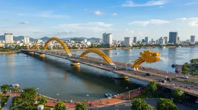
롱 교(베트남어: Cầu Rồng / 橋龍)는 베트남 다낭을 흐는 한강 위로 지나는 다리이다. 롱(Rồng)은 베트남어로 용(龍)을 가리키는 말로, 다리는 용 모양으로 디자인했다. 2009년 7월 19일에 착공하여, 2013년 3월 29일에 완공한 길이 전체 길이 666m의 다리이다.

ここから 4.0 km