World by City

自然

クデ川

Cu Đê River

クデ川

The Cu Đê River, other name Trường Định River is a river of Da Nang, Vietnam.

What It Is

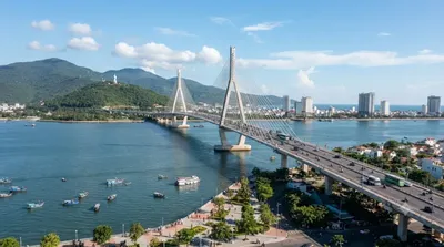
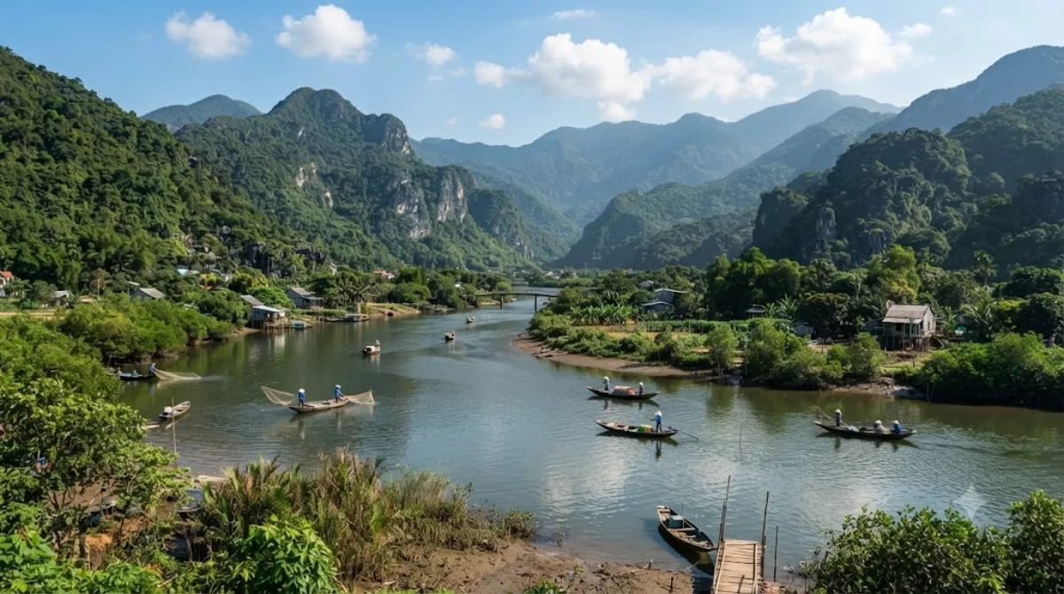
The Cu Đê River, also known as the Trường Định River, runs through the northern part of Da Nang. It's a working, low-key waterway rather than a tourist site with facilities — travellers typically pass through or along it while heading to the beaches and hills at the northern edge of the city, catching views of the river meeting the coastline near Nam Ô.

Getting There

The river lies north of central Da Nang, roughly a 20-30 minute drive from the city centre depending on traffic, most easily reached by taxi, motorbike, or ride-hailing app. There's no dedicated public transport route directly to the riverbanks.

Time Needed

Since this isn't a site with a defined visitor area, most people spend anywhere from a quick stop of 15-20 minutes to an hour if combining it with a walk along the nearby coast or a meal at a riverside spot.

When to Go

Mornings or late afternoons tend to be more comfortable, avoiding the midday heat common to central Vietnam. This isn't a crowded destination, so timing is more about weather and light than avoiding crowds.

Combine With

  • Da Nang Bay (5.6km) - the closest option, easy to pair on the same outing.
  • Danang Hi-tech Park (7.5km) - a short drive further inland.
  • Han River (10.5km) and Thuận Phước Bridge (10.9km) - both back toward the city centre, worth combining if you're making a loop that ends downtown, especially around sunset for the bridge.

出典:ウィキペディア・OpenStreetMap の公開データ · 2026年8月5日 更新 · 編集 World by City 編集部

チケット・ツアー予約

入場料や営業時間は変わりやすいためここには載せていません。下で現在販売中のチケットと価格をご確認ください。事前購入で待ち時間を減らせる場所もあります。

検索結果にこの場所のチケットがない場合もあります。入場無料、または現地販売のみの施設もあります。

クデ川 周辺の宿

歩いて行ける距離から近い順に並べています。距離は直線距離です。

地図 © OpenStreetMap 寄稿者。直線でつないでいるため実際の経路とは異なります。

クデ川 周辺の宿

宿の位置と名称は OpenStreetMap のデータに基づきます。価格と空室は各予約サイトでご確認ください。

あわせて訪れたい場所

Da Nang Bay

自然

Da Nang Bay

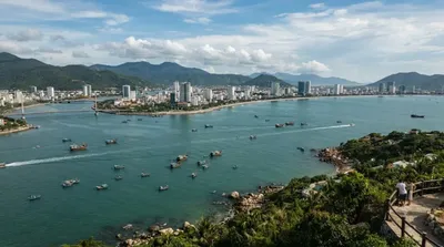
Da Nang Bay, formerly known as Tourane Bay, is a bay of the South China Sea along the coast of Da Nang, Vietnam. The bay is entered between the Sơn Trà Peninsula and the Hải Vân Mountain, 4 miles Northwest.

ここから 5.6 km

ハイヴァン峠

自然

ハイヴァン峠

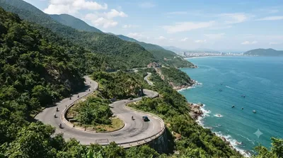
하이반 고개(베트남어: Đèo Hải Vân / 𡸇海雲)는 베트남 중부에 있는 고개이다. 구불구불한 도로는 후에와 다낭 사이를 통행하는 운전자에게 긴 시련의 길이었지만, 하이반 터널이 완성된 이후 차의 흐름도, 안전도 향상되었다.

ここから 7.2 km

다낭 하이테크 파크

公園・庭園

다낭 하이테크 파크

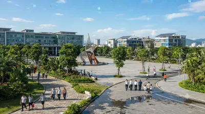
다낭 하이테크 파크(베트남어: Khu công nghệ cao Đà Nẵng, 영어: Danang Hi-tech Park)는 2010년 10월 28일에 발행된 베트남 총리의 1979/QĐ-TTg 결정에 따라 설립되었다. 하노이의 호알락 하이테크 파크와 호찌민의 사이공 하이테크 파크 이후에 세 번째로 설립된 하이테크 파크이다.

ここから 7.5 km

ハン川

自然

ハン川

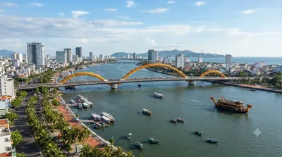
ハン川 は、ベトナムの南中部に位置する川である。川はクアンナム省で始まり、ダナンで南シナ海に注ぐ。カムレ川とヴィンディエン川の合流地点から河口までの約7.7kmをハン川と呼称する。

ここから 10.5 km

トアンフック橋

展望・ランドマーク

トアンフック橋

투언안프억 교(베트남어: Cầu Thuận Phước / 橋順福)는 베트남 다낭의 한강 하류에 가설된 현수교이다.

ここから 10.9 km

ディエン・ハイ城塞

城・宮殿

ディエン・ハイ城塞

ここから 11.5 km