World by City

公園・庭園

다낭 하이테크 파크

Danang Hi-tech Park

다낭 하이테크 파크

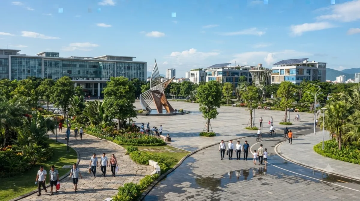
다낭 하이테크 파크(베트남어: Khu công nghệ cao Đà Nẵng, 영어: Danang Hi-tech Park)는 2010년 10월 28일에 발행된 베트남 총리의 1979/QĐ-TTg 결정에 따라 설립되었다. 하노이의 호알락 하이테크 파크와 호찌민의 사이공 하이테크 파크 이후에 세 번째로 설립된 하이테크 파크이다.

What it is

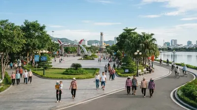
Danang Hi-tech Park (DHTP) is a large planned technology and industrial zone established in 2010 under a decision from the Vietnamese Prime Minister, not a traditional park or garden despite the name. It brings together tech and manufacturing facilities, office buildings, and landscaped grounds and access roads laid out on a masterplan scale. Most visitors are here for business — site visits, investor tours, or meetings with companies based in the zone — rather than casual sightseeing. If you do stop by, the appeal is the open, low-density layout and greenery around the road network, which makes for an easy walk or drive, rather than any single landmark.

Getting there

The park sits inland and to the west of central Da Nang. By taxi or ride-hailing app from the city centre, plan for roughly 30–40 minutes depending on traffic and the exact building you're heading to within the zone, since it covers a wide area.

Time to allow

Unless you have a specific meeting or site visit, an hour or so is enough to get a sense of the layout and surroundings.

When to go

Weekday daytime hours suit business visits best, when the zone is active. There's little reason to time a visit around crowds, as this isn't a leisure destination and doesn't draw the foot traffic that beaches or pagodas do in the city.

Combine it with

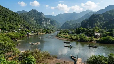
  • Cu Đê River, about 7.5km away
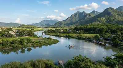
  • Yên River, about 11.9km away
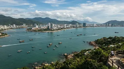
  • Da Nang Bay, about 12.1km away
  • Zone 5 Military Museum, about 14.5km away

Given the distances, it's more practical to treat these as separate stops on a driving day rather than a single walkable loop.

出典:ウィキペディア・OpenStreetMap の公開データ · 2026年8月5日 更新 · 編集 World by City 編集部

チケット・ツアー予約

入場料や営業時間は変わりやすいためここには載せていません。下で現在販売中のチケットと価格をご確認ください。事前購入で待ち時間を減らせる場所もあります。

検索結果にこの場所のチケットがない場合もあります。入場無料、または現地販売のみの施設もあります。

다낭 하이테크 파크 周辺の宿

歩いて行ける距離から近い順に並べています。距離は直線距離です。

地図 © OpenStreetMap 寄稿者。直線でつないでいるため実際の経路とは異なります。

다낭 하이테크 파크 周辺の宿

宿の位置と名称は OpenStreetMap のデータに基づきます。価格と空室は各予約サイトでご確認ください。

あわせて訪れたい場所

クデ川

自然

クデ川

The Cu Đê River, other name Trường Định River is a river of Da Nang, Vietnam.

ここから 7.5 km

Yên River

自然

Yên River

The Yên River, also known as the Thạch Bồ River, is a river of Da Nang, Vietnam. It is formed by the split of the Vu Gia into the Yên and the Bình Phước on the boundary between Đại Lộc commune and Điện Bàn Bắc ward. It flows for 22 kilometres until the boundary between Hòa Vang commune, Hòa Tiến commune, and Cẩm Lệ ward, where it joins the Túy Loan to form the Cầu Đỏ.

ここから 11.9 km

Da Nang Bay

自然

Da Nang Bay

Da Nang Bay, formerly known as Tourane Bay, is a bay of the South China Sea along the coast of Da Nang, Vietnam. The bay is entered between the Sơn Trà Peninsula and the Hải Vân Mountain, 4 miles Northwest.

ここから 12.1 km

방교

展望・ランドマーク

방교

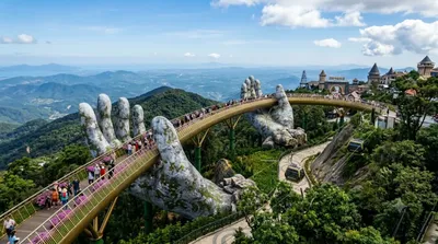
골든 브릿지(베트남어: Cầu Vàng)는 베트남 다낭의 바나힐 리조트에 위치한 150-미터-long (490 ft) 길이의 보행자 교량이다. 이 다리는 케이블카 승강장과 정원을 연결하고(가파른 경사를 피함) 아름다운 전망을 제공하는 관광 명소로 설계되었다. 다리는 스스로를 향해 거의 한 바퀴를 도는 형태를 띠고 있으며, 유리 섬유와 철망으로 제작된 두 개의 거대한 손이 구조물을 떠받치고 있는 돌손처럼 보이도록 디자인되었다.

ここから 12.5 km

ハイヴァン峠

自然

ハイヴァン峠

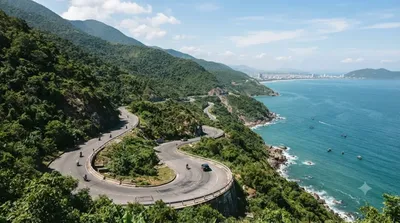
하이반 고개(베트남어: Đèo Hải Vân / 𡸇海雲)는 베트남 중부에 있는 고개이다. 구불구불한 도로는 후에와 다낭 사이를 통행하는 운전자에게 긴 시련의 길이었지만, 하이반 터널이 완성된 이후 차의 흐름도, 안전도 향상되었다.

ここから 14.2 km

Zone 5 Military Museum

博物館・美術館

Zone 5 Military Museum

The Zone 5 Military Museum is a military museum located at 3 Duy Tân, Da Nang, Vietnam. It covers all Vietnamese resistance to foreign occupation from the Chinese occupation, the First Indochina War with the French, the Vietnam War and the current standoff with China over the Spratly Islands and the Paracel Islands.

ここから 14.5 km