自然
ハイヴァン峠
Hai Van Pass
하이반 고개(베트남어: Đèo Hải Vân / 𡸇海雲)는 베트남 중부에 있는 고개이다. 구불구불한 도로는 후에와 다낭 사이를 통행하는 운전자에게 긴 시련의 길이었지만, 하이반 터널이 완성된 이후 차의 흐름도, 안전도 향상되었다.
What the pass is
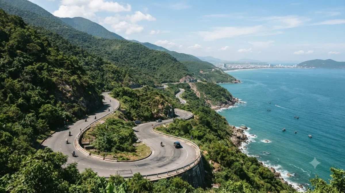
The Hải Vân Pass is a roughly 21-kilometre road across a mountain spur where the Annamite Range meets the sea, marking the boundary between Đà Nẵng and Huế. The draw is the drive itself: a winding road along cliffs with open views over the coastline and, on clearer stretches, back toward Đà Nẵng and Lăng Cô Bay. The name refers to the sea mist that often settles over the ridge, which is also why visibility can be poor without warning.
Getting there
From central Đà Nẵng, the pass is around 25-30 km, typically 45 minutes to an hour by motorbike, car, or taxi following the coast road north. Most traffic now uses the Hải Vân Tunnel underneath the mountain, so the pass road itself carries mainly tourists, cyclists, and local motorbike traffic rather than freight trucks.
How long to spend
Driving straight over the pass takes about 20-30 minutes one way. Allow closer to 1.5-2 hours round trip if you plan to stop at viewpoints, the old French-era bunker near the summit, or for photos along the way.
When to go
Mornings tend to offer clearer views before mist or afternoon haze builds up. The pass is popular with motorbike tours and can get busy at the summit viewpoint, especially around midday. Rain and fog are common in the wetter months (roughly September to January), so check conditions before heading up, and be cautious on the many switchbacks if the road is wet.
Combine it with
- Cu Đê River (7.2 km) and Da Nang Bay (8 km) sit on the way back toward the city, making them easy stops before or after the pass.
- Han River (13.9 km) works well if you're spending the rest of the day in central Đà Nẵng.
- Danang Hi-tech Park (14.2 km) is a further detour, better suited to a separate trip unless it's directly on your route.
出典:ウィキペディア・OpenStreetMap の公開データ · 2026年8月5日 更新 · 編集 World by City 編集部