World by City

Natur

Vu Gia river

Vu Gia river

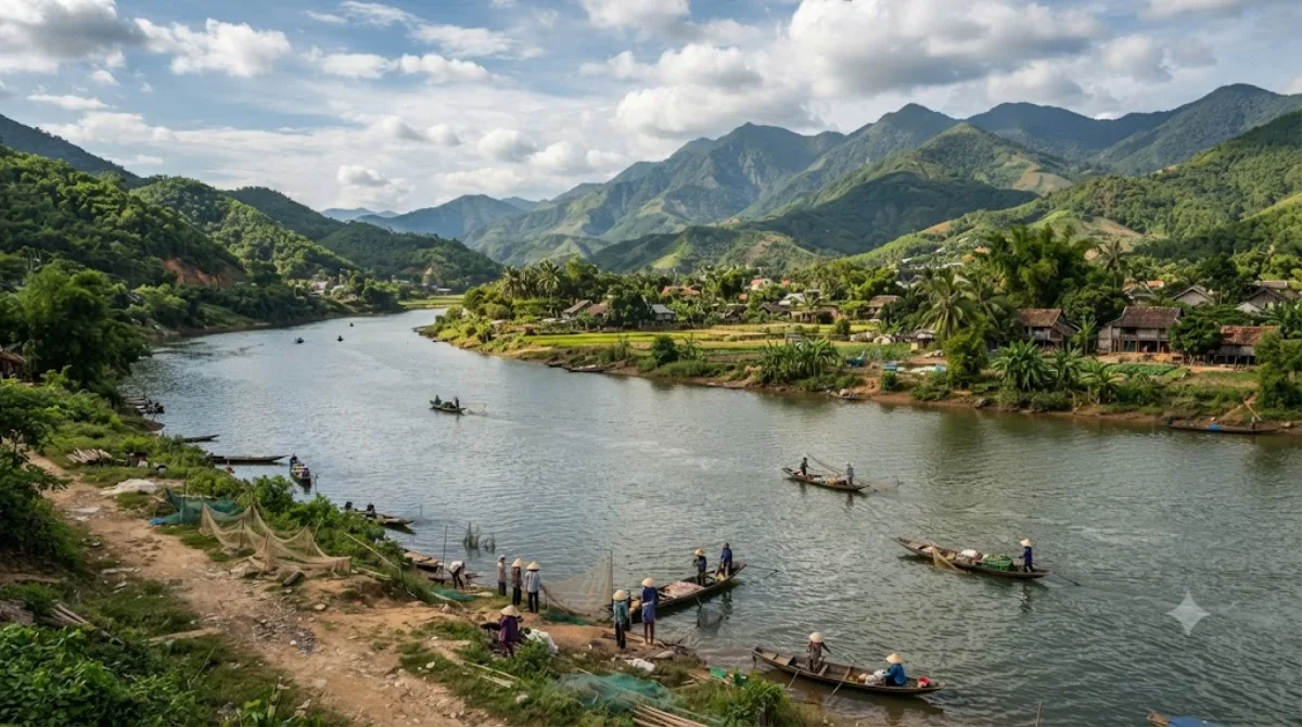
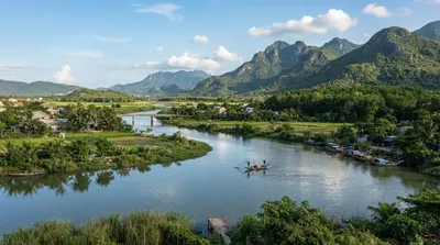
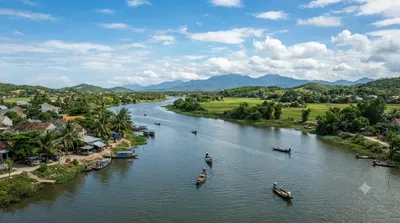
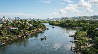
The Vu Gia River is a river in the municipality of Da Nang in central Vietnam. It is formed by the confluence of the Bung and the Cái in Thượng Đức commune. It flows through the communes Thượng Đức, Hà Nha, Vu Gia, and Đại Lộc, until the boundary with Điện Bàn Bắc ward, where it splits into the Yên and the Bình Phước. After the Quảng Huế River branches off, the river is commonly called Ái Nghĩa River. The Vu Gia is part of the Vu Gia–Thu Bồn river basin, and the Vu Gia and the Thu Bồn seasonally undergo exchange of flow.

Vu Gia River

The Vu Gia is one of the two main rivers feeding the Vu Gia–Thu Bồn river system, formed where the Bung and Cái rivers meet in Thượng Đức commune. It then runs through Hà Nha, Vu Gia, and Đại Lộc before splitting near Điện Bàn Bắc into separate branches; downstream of that split it's often called the Ái Nghĩa River. There's no single "sight" here — the appeal is the river landscape itself, farmland and villages along the banks, and the countryside of Đại Lộc district, which sits away from the more touristed parts of Da Nang.

Getting there

The river runs well inland from central Da Nang, through Đại Lộc district. Expect a drive of around 40-50 minutes by car or motorbike, depending on which stretch of the river you're heading to, since it passes through several communes rather than one fixed point.

How long to spend

An hour or two is enough to see a stretch of the river and surrounding villages, unless you're combining it with cycling or exploring further into Đại Lộc.

When to go

Mornings or late afternoons are more comfortable for being outdoors, avoiding the midday heat. This isn't a crowded tourist spot, so timing is more about weather than crowds — river levels can rise significantly during the central Vietnam rainy season (roughly October to December), which is worth checking before a visit.

Combine with

The Yên River (11 km) is one of the branches formed downstream of the Vu Gia and makes sense to see as part of the same trip. The Thu Bồn River (16.1 km) and Sông Vĩnh Điện (17.9 km) are part of the same broader river system and can be combined for a day exploring Da Nang's waterways. Ngũ Hành Sơn (17.4 km) offers a change of pace with its marble mountains and cave temples if you want to pair the river visit with a more structured sightseeing stop.

Quellen: offene Daten von Wikipedia und OpenStreetMap · Aktualisiert 5. August 2026 · Redaktion die World by City-Redaktion

Tickets & Touren

Eintrittspreise und Öffnungszeiten ändern sich häufig und stehen daher nicht hier. Unten sehen Sie, was gerade angeboten wird – vorab buchen spart mancherorts Wartezeit.

Dieser Ort erscheint womöglich nicht in den Ergebnissen – manche Ziele sind kostenlos oder verkaufen nur vor Ort.

Unterkünfte nahe Vu Gia river

Nach Entfernung sortiert, fußläufige zuerst. Angaben als Luftlinie.

Karte © OpenStreetMap-Mitwirkende. Linien sind Luftlinien, keine echten Routen.

Vu Gia river Unterkünfte in der Nähe

Lage und Namen stammen aus OpenStreetMap. Preise und Verfügbarkeit bitte auf den Buchungsseiten prüfen.

Passt gut dazu

Yên River

Natur

Yên River

The Yên River, also known as the Thạch Bồ River, is a river of Da Nang, Vietnam. It is formed by the split of the Vu Gia into the Yên and the Bình Phước on the boundary between Đại Lộc commune and Điện Bàn Bắc ward. It flows for 22 kilometres until the boundary between Hòa Vang commune, Hòa Tiến commune, and Cẩm Lệ ward, where it joins the Túy Loan to form the Cầu Đỏ.

11.0 km entfernt

투본강

Natur

투본강

투본강(베트남어: Sông Thu Bồn / 瀧秋盆)은 베트남 중부 꽝남성 근처를 흐르는 강이다. 꽝남성과 꽝응아이성의 경계에서 발원되어 북서쪽을 흘러 박짜미, 뿌닌, 히엡덕 그리고 꿰손 현을 가로질러 가다 북동쪽으로 흐름을 틀어 다이록 현과 주이쑤옌 현 사이에 경계를 형성한다. 그리고 계속 흘러내려가 호이안에서 남중국해로 빠져나간다.

16.1 km entfernt

응우하인선

Natur

응우하인선

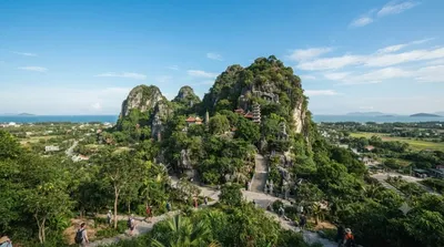
응우하인선(베트남어: Ngũ Hành Sơn, 五行山, 오행산)은 베트남 중부의 다낭시의 남부에 있는 응우하인선군에 위치한 5개의 대리석과 석회암 언덕이다. 1990년 베트남 문화체육관광부는 응우하인선을 문화 역사 국가 수준으로 지정했다.

17.4 km entfernt

Sông Vĩnh Điện

Natur

Sông Vĩnh Điện

The Vĩnh Điện River, Cái River, or Đò Toản River is a river of the municipality of Da Nang, Vietnam. It connects the Thu Bồn with the delta of the Vu Gia.

17.9 km entfernt

Goldene Brücke

Aussicht & Wahrzeichen

Goldene Brücke

Die Goldene Brücke ist eine 150 Meter lange Fußgängerbrücke im Bà-Nà-Hills-Resort in der Nähe von Đà Nẵng, Vietnam. Sie befindet sich im Truong-Son-Gebirge und besteht aus einem Stahlgeflecht und Fiberglas.

18.5 km entfernt

Tiên Sơn Bridge

Aussicht & Wahrzeichen

Tiên Sơn Bridge

Tiên Sơn Bridge is a bridge completed in 2004 spanning the Han River in the city of Da Nang, Vietnam. It is a prestressed concrete box girder bridge 529 m long, connecting the Tien Sa Port to the National Road 14B across Southeast Asia.

18.6 km entfernt