自然
Vu Gia river
The Vu Gia River is a river in the municipality of Da Nang in central Vietnam. It is formed by the confluence of the Bung and the Cái in Thượng Đức commune. It flows through the communes Thượng Đức, Hà Nha, Vu Gia, and Đại Lộc, until the boundary with Điện Bàn Bắc ward, where it splits into the Yên and the Bình Phước. After the Quảng Huế River branches off, the river is commonly called Ái Nghĩa River. The Vu Gia is part of the Vu Gia–Thu Bồn river basin, and the Vu Gia and the Thu Bồn seasonally undergo exchange of flow.
Vu Gia River
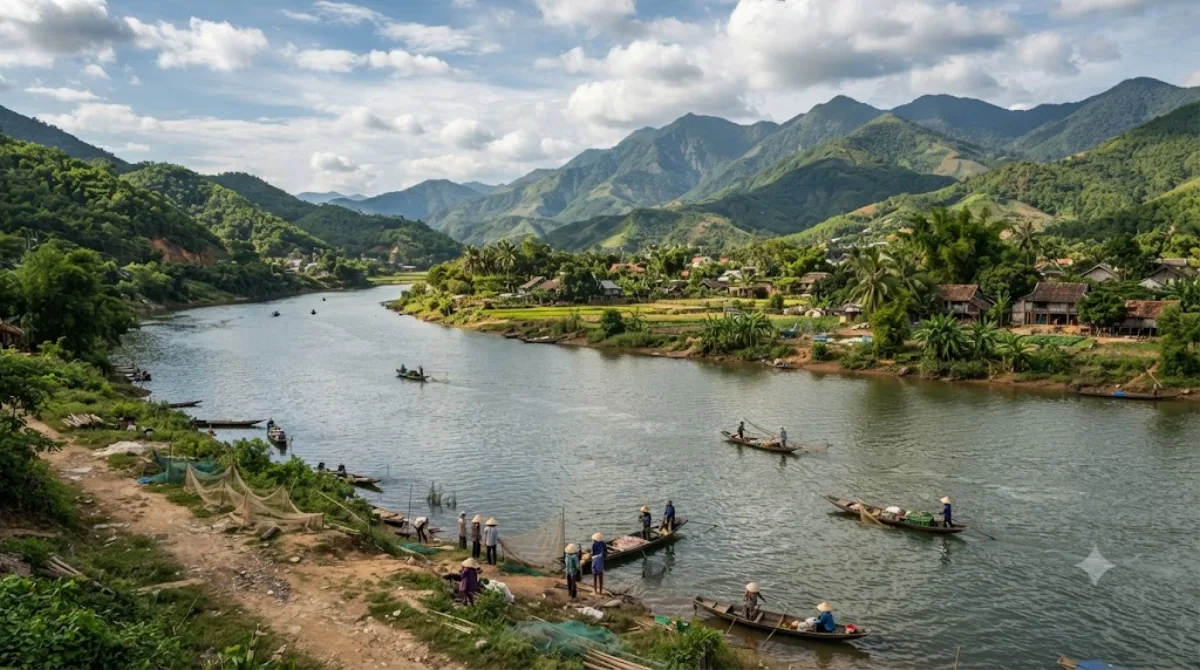
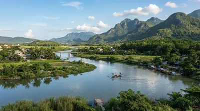
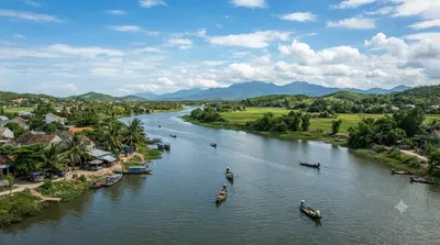
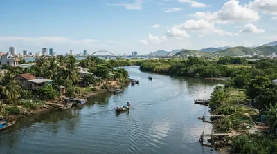
The Vu Gia is one of the two main rivers feeding the Vu Gia–Thu Bồn river system, formed where the Bung and Cái rivers meet in Thượng Đức commune. It then runs through Hà Nha, Vu Gia, and Đại Lộc before splitting near Điện Bàn Bắc into separate branches; downstream of that split it's often called the Ái Nghĩa River. There's no single "sight" here — the appeal is the river landscape itself, farmland and villages along the banks, and the countryside of Đại Lộc district, which sits away from the more touristed parts of Da Nang.
Getting there
The river runs well inland from central Da Nang, through Đại Lộc district. Expect a drive of around 40-50 minutes by car or motorbike, depending on which stretch of the river you're heading to, since it passes through several communes rather than one fixed point.
How long to spend
An hour or two is enough to see a stretch of the river and surrounding villages, unless you're combining it with cycling or exploring further into Đại Lộc.
When to go
Mornings or late afternoons are more comfortable for being outdoors, avoiding the midday heat. This isn't a crowded tourist spot, so timing is more about weather than crowds — river levels can rise significantly during the central Vietnam rainy season (roughly October to December), which is worth checking before a visit.
Combine with
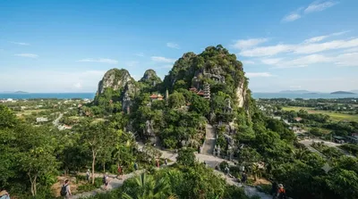
The Yên River (11 km) is one of the branches formed downstream of the Vu Gia and makes sense to see as part of the same trip. The Thu Bồn River (16.1 km) and Sông Vĩnh Điện (17.9 km) are part of the same broader river system and can be combined for a day exploring Da Nang's waterways. Ngũ Hành Sơn (17.4 km) offers a change of pace with its marble mountains and cave temples if you want to pair the river visit with a more structured sightseeing stop.
出典:ウィキペディア・OpenStreetMap の公開データ · 2026年8月5日 更新 · 編集 World by City 編集部