World by City

自然

Sông Vĩnh Điện

Sông Vĩnh Điện

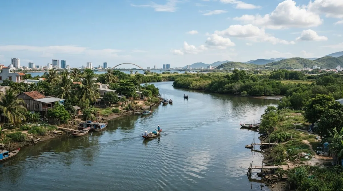
The Vĩnh Điện River, Cái River, or Đò Toản River is a river of the municipality of Da Nang, Vietnam. It connects the Thu Bồn with the delta of the Vu Gia.

What it is

Sông Vĩnh Điện, also called the Cái River or Đò Toản River, is a natural waterway that branches off the Thu Bồn River system and connects it to the delta of the Vu Gia. It's part of the wider river network that spreads across the Da Nang and Quảng Nam lowlands rather than a single scenic viewpoint, so most travellers experience it from a bridge, an embankment road, or a boat rather than a dedicated riverside park. It's a good stop for anyone curious about the waterways that shape the region's rice-growing delta and connect Da Nang to towns further south like Hội An.

Getting there

The river runs close to central Da Nang, with easy access near the Tiên Sơn Bridge area. From the city centre, expect a short taxi or grab-bike ride of around 15-20 minutes, depending on which stretch of the river you're heading to.

Time to allow

If you're just viewing the river from a bridge or the roadside, 20-30 minutes is enough. Combining it with a walk or bike ride along the waterway could stretch that to an hour or more.

When to go

Early morning or late afternoon avoids the midday heat and gives softer light for photos of the water. There's no particular crowding to worry about here, since it's a working river rather than a tourist site, but flooding can occur during the rainy season (roughly October to December), which is worth checking before visiting.

Combine it with

The river sits right next to Tiên Sơn Bridge (0.9km), a natural first stop. From there, it's easy to continue to Tran Thi Ly Bridge (2.6km) for views over the Han River, then work inland to the Zone 5 Military Museum (3km) and the Museum of Cham Sculpture (3.8km) to round out a half-day covering both the city's waterways and its history museums.

出典:ウィキペディア・OpenStreetMap の公開データ · 2026年8月5日 更新 · 編集 World by City 編集部

チケット・ツアー予約

入場料や営業時間は変わりやすいためここには載せていません。下で現在販売中のチケットと価格をご確認ください。事前購入で待ち時間を減らせる場所もあります。

検索結果にこの場所のチケットがない場合もあります。入場無料、または現地販売のみの施設もあります。

Sông Vĩnh Điện 周辺の宿

歩いて行ける距離から近い順に並べています。距離は直線距離です。

地図 © OpenStreetMap 寄稿者。直線でつないでいるため実際の経路とは異なります。

Sông Vĩnh Điện 周辺の宿

宿の位置と名称は OpenStreetMap のデータに基づきます。価格と空室は各予約サイトでご確認ください。

あわせて訪れたい場所

ティエンソン橋

展望・ランドマーク

ティエンソン橋

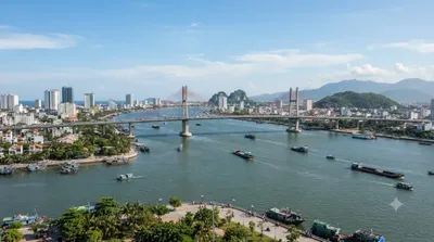
Tiên Sơn Bridge is a bridge completed in 2004 spanning the Han River in the city of Da Nang, Vietnam. It is a prestressed concrete box girder bridge 529 m long, connecting the Tien Sa Port to the National Road 14B across Southeast Asia.

ここから 0.9 km

チャン・ティー・リー橋

展望・ランドマーク

チャン・ティー・リー橋

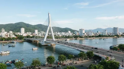
쩐티리교(베트남어: Cầu Nguyễn Văn Trỗi–Trần Thị Lý)(정식 명칭은 응우옌반쪼이-쩐티리 교)는 베트남 다낭의 한강을 가로지르는 다리이다. 이 다리는 베트남 혁명가 응우옌 반 쪼이와 쩐티리의 이름을 딴 2개의 오래된 다리를 대체했다.

ここから 2.6 km

グエンヴァンチョイ橋

展望・ランドマーク

グエンヴァンチョイ橋

Nguyen Van Troi Bridge is a bridge spanning the Han River in the city of Da Nang, Vietnam. The bridge was built by an American company in 1965. Constructed by the American contractor RMK [RMK-BRJ], the 513 meters bridge was the first bridge designed for vehicles crossing the Han River to transport weapons.

ここから 2.7 km

Zone 5 Military Museum

博物館・美術館

Zone 5 Military Museum

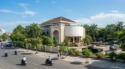
The Zone 5 Military Museum is a military museum located at 3 Duy Tân, Da Nang, Vietnam. It covers all Vietnamese resistance to foreign occupation from the Chinese occupation, the First Indochina War with the French, the Vietnam War and the current standoff with China over the Spratly Islands and the Paracel Islands.

ここから 3.0 km

チャム彫刻博物館

博物館・美術館

チャム彫刻博物館

참 조각 박물관(Bảo tàng Nghệ thuật điêu khắc Chăm Đà Nẵng, Museum of Cham Sculpture)은 베트남 중부 다낭의 하이쩌우 군, 한강 근처에 위치한 박물관이다. 참조각박물관은 세계 최대의 참족 조각 수집품을 보유하고 있는 인기 관광지이다.

ここから 3.8 km

ドラゴン橋

展望・ランドマーク

ドラゴン橋

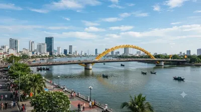
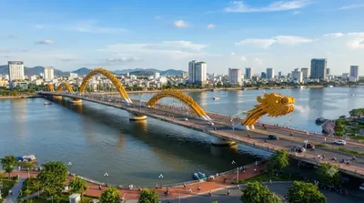
롱 교(베트남어: Cầu Rồng / 橋龍)는 베트남 다낭을 흐는 한강 위로 지나는 다리이다. 롱(Rồng)은 베트남어로 용(龍)을 가리키는 말로, 다리는 용 모양으로 디자인했다. 2009년 7월 19일에 착공하여, 2013년 3월 29일에 완공한 길이 전체 길이 666m의 다리이다.

ここから 3.8 km