Nature
Sông Vĩnh Điện
What it is
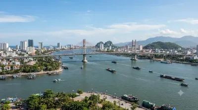
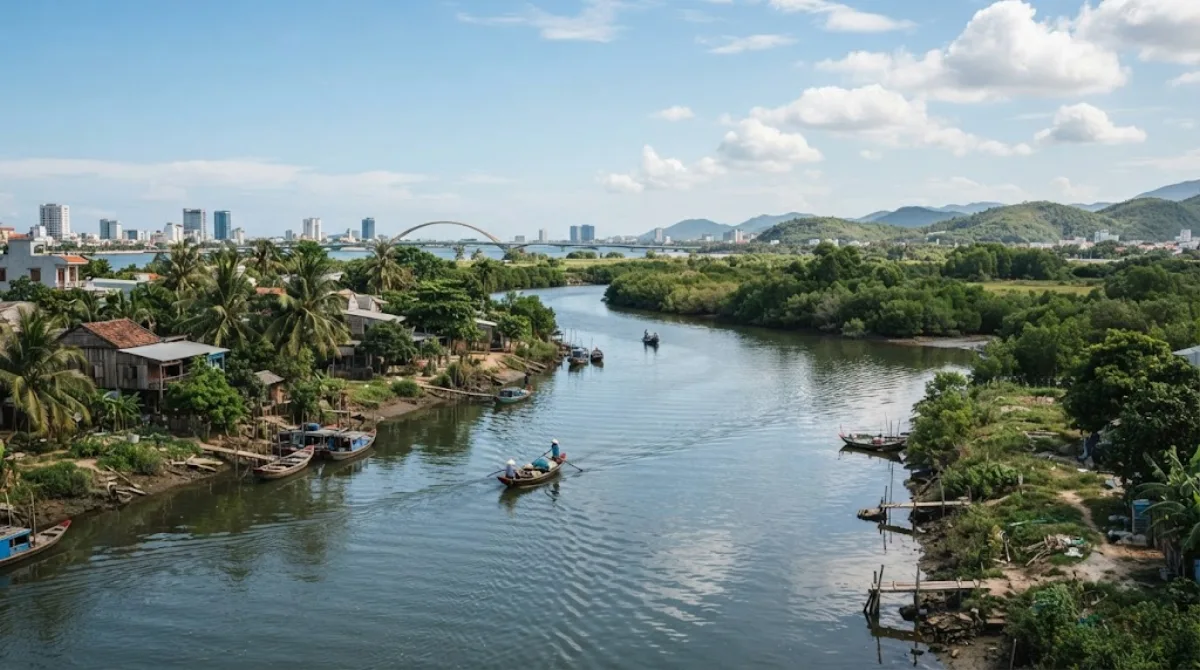
Sông Vĩnh Điện, also called the Cái River or Đò Toản River, is a natural waterway that branches off the Thu Bồn River system and connects it to the delta of the Vu Gia. It's part of the wider river network that spreads across the Da Nang and Quảng Nam lowlands rather than a single scenic viewpoint, so most travellers experience it from a bridge, an embankment road, or a boat rather than a dedicated riverside park. It's a good stop for anyone curious about the waterways that shape the region's rice-growing delta and connect Da Nang to towns further south like Hội An.
Getting there
The river runs close to central Da Nang, with easy access near the Tiên Sơn Bridge area. From the city centre, expect a short taxi or grab-bike ride of around 15-20 minutes, depending on which stretch of the river you're heading to.
Time to allow
If you're just viewing the river from a bridge or the roadside, 20-30 minutes is enough. Combining it with a walk or bike ride along the waterway could stretch that to an hour or more.
When to go
Early morning or late afternoon avoids the midday heat and gives softer light for photos of the water. There's no particular crowding to worry about here, since it's a working river rather than a tourist site, but flooding can occur during the rainy season (roughly October to December), which is worth checking before visiting.
Combine it with
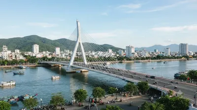
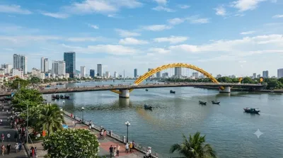
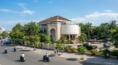
The river sits right next to Tiên Sơn Bridge (0.9km), a natural first stop. From there, it's easy to continue to Tran Thi Ly Bridge (2.6km) for views over the Han River, then work inland to the Zone 5 Military Museum (3km) and the Museum of Cham Sculpture (3.8km) to round out a half-day covering both the city's waterways and its history museums.
Updated September 20, 2026 · Edited by the World by City editors
 GetYourGuide
 Klook
Klook
 Tiqets
 KKday
KKday
 WeGoTrip
 Booking.com
 Hotels.com