Natur
Kamo
Kamo River
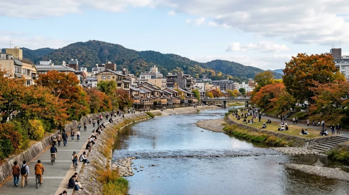
Der Kamo-Fluss in Kyoto
Der Kamo-Fluss fließt von Norden nach Süden durch das Stadtgebiet von Kyoto. Er dient primär als Erholungsraum für die lokale Bevölkerung und Besucher. Entlang der Ufer befinden sich gepflegte Wege zum Spazierengehen sowie Trittsteine, die es ermöglichen, den Fluss an verschiedenen Stellen zu überqueren.
Anreise und Zeitplanung
Da der Fluss zentral durch die Stadt verläuft, ist er vom Stadtzentrum aus in wenigen Minuten zu Fuß oder mit dem lokalen Nahverkehr erreichbar. Je nachdem, welchen Abschnitt man besuchen möchte, variiert die Gehzeit geringfügig.
Für einen Spaziergang entlang der Ufer und das Überqueren der Trittsteine sollte man etwa ein bis zwei Stunden einplanen.
Besuchszeit und Hinweise
Der Ort ist zu jeder Tageszeit zugänglich. In den Abendstunden ist das Ufer besonders belebt, da viele Menschen dort Zeit verbringen. Während der Hauptreisezeiten und zu bestimmten Jahreszeiten kann es an den Uferpromenaden sehr voll werden.
Kombinationsmöglichkeiten
Aufgrund der Lage lassen sich weitere Sehenswürdigkeiten in die Route integrieren. In der Umgebung befinden sich folgende Orte:
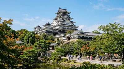
- Burg Fushimi: ca. 3,7 km entfernt
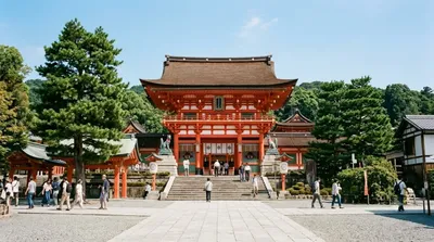
- Fushimi Inari-taisha: ca. 5,2 km entfernt
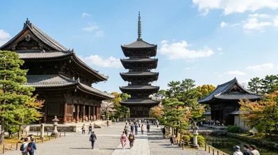
- Tō-ji Tempel: ca. 5,5 km entfernt
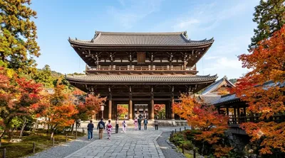
- Tōfuku-ji Tempel: ca. 5,9 km entfernt
Aktualisiert 20. September 2026 · Redaktion die World by City-Redaktion
 GetYourGuide
 Klook
Klook
 Tiqets
 KKday
KKday
 WeGoTrip
 Booking.com
 Hotels.com