Nature
Kamo River
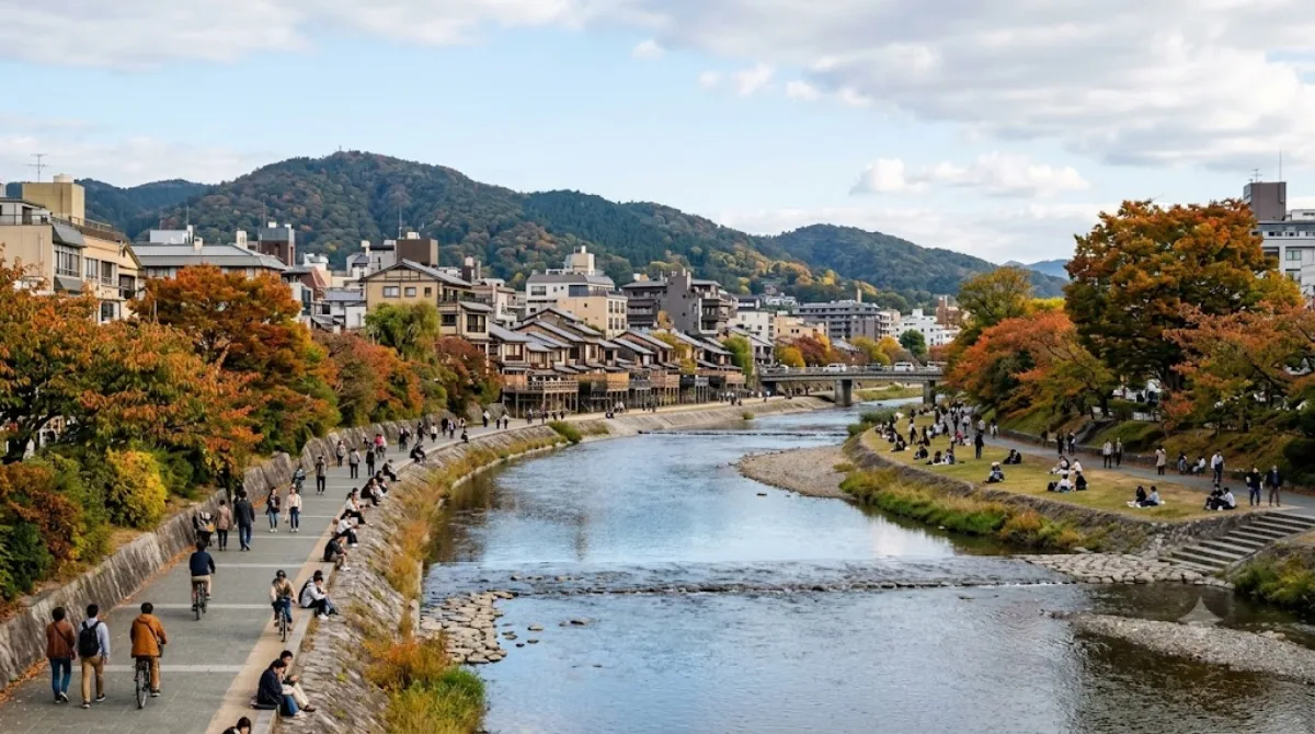
Kamo River
The Kamo River runs through central Kyoto and is one of the easiest ways to get a sense of the city's daily rhythm rather than its temples. Locals jog, cycle, and sit along the banks, and the shallow water and stepping stones make it a place to linger rather than just pass through. In summer, restaurants along the western bank (particularly around Pontochō and Gion) build wooden platforms, called yuka, over the water, so you can eat outdoors above the river.
Getting there
The riverbanks are within walking distance of downtown Kyoto — the stretch near Shijō and Sanjō, close to Gion and Pontochō, is the most central and easiest to reach on foot or by a short bus or subway ride from Kyoto Station.
How much time to allow
A stroll along the banks can take anywhere from 20 minutes to a couple of hours, depending on whether you're just crossing the stepping stones or walking a longer stretch. If you're stopping for a meal at one of the riverside restaurants, allow at least an hour beyond the walk itself.
When to go
Early morning and evening are quieter and more comfortable, especially in summer heat. The riverside can get crowded at sunset, when both locals and visitors gather to walk or sit along the banks. During the rainy season, the lower walkways can flood, so check conditions before planning a walk close to the water.
Combine it with
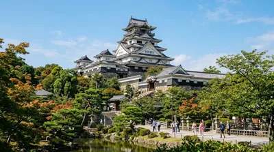
- Fushimi Castle, about 3.7km away
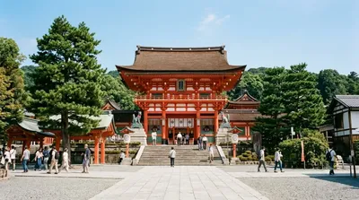
- Fushimi Inari-taisha, about 5.2km away
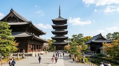
- Tō-ji Temple, about 5.5km away
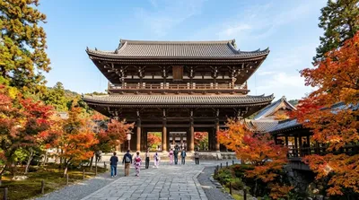
- Tōfuku-ji Temple, about 5.9km away
These are all a taxi or short train ride from the riverside, making the Kamo River a reasonable stop on the way to or from Fushimi's shrines and temples.
Updated September 20, 2026 · Edited by the World by City editors
 GetYourGuide
 Klook
Klook
 Tiqets
 KKday
KKday
 WeGoTrip
 Booking.com
 Hotels.com