Natur
Man-See
Lake Man
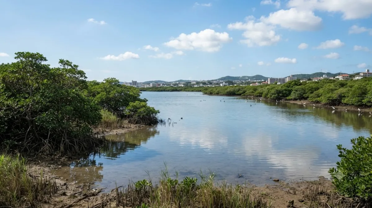
Lake Man (Manko)
Trotz des Namens handelt es sich bei diesem Ort nicht um einen See, sondern um ein Gezeitenwetland an der Grenze zwischen Naha und Tomigusuku. Das Gebiet liegt innerhalb des Manko-Parks und umfasst etwa 0,11 Quadratkilometer. Besucher kommen hierher, um die Mangrovenwälder und Schlickflächen zu beobachten sowie Wasservögel, Krabben und andere Meereslebewesen in ihrem natürlichen Ökosystem zu sehen.
Anreise und Zeitplanung
Das Gebiet ist gut vom Stadtzentrum von Naha aus erreichbar. Je nach Verkehrslage dauert die Fahrt mit dem Taxi oder dem Mietwagen etwa 10 bis 15 Minuten. Vor Ort sollten Besucher etwa ein bis zwei Stunden einplanen, um die Wanderwege entlang der Mangroven zu erkunden.
Besuchszeitpunkt
Die Beobachtung der Tierwelt ist besonders bei Ebbe effektiv, da die Schlickflächen und die Aktivitäten der Krabben dann besser sichtbar sind. Da sich das Gebiet in der Nähe des Stadtzentrums befindet, kann es an Wochenenden belebter sein als unter der Woche.
Kombinationsmöglichkeiten
Aufgrund der zentralen Lage lässt sich der Besuch mit anderen Sehenswürdigkeiten in Naha verbinden:
- Ehemaliges unterirdisches Hauptquartier der japanischen Marine: 1,4 km entfernt.
- Gokoku-ji Tempel: 1,9 km entfernt.
- Naha City Museum of History: 2,0 km entfernt.
- Kokusai-dōri: 2,2 km entfernt.
Aktualisiert 20. September 2026 · Redaktion die World by City-Redaktion
 GetYourGuide
 Klook
Klook
 Tiqets
 KKday
KKday
 WeGoTrip
 Booking.com
 Hotels.com