Aussicht & Wahrzeichen
Taipei-Brücke
Taipei Bridge
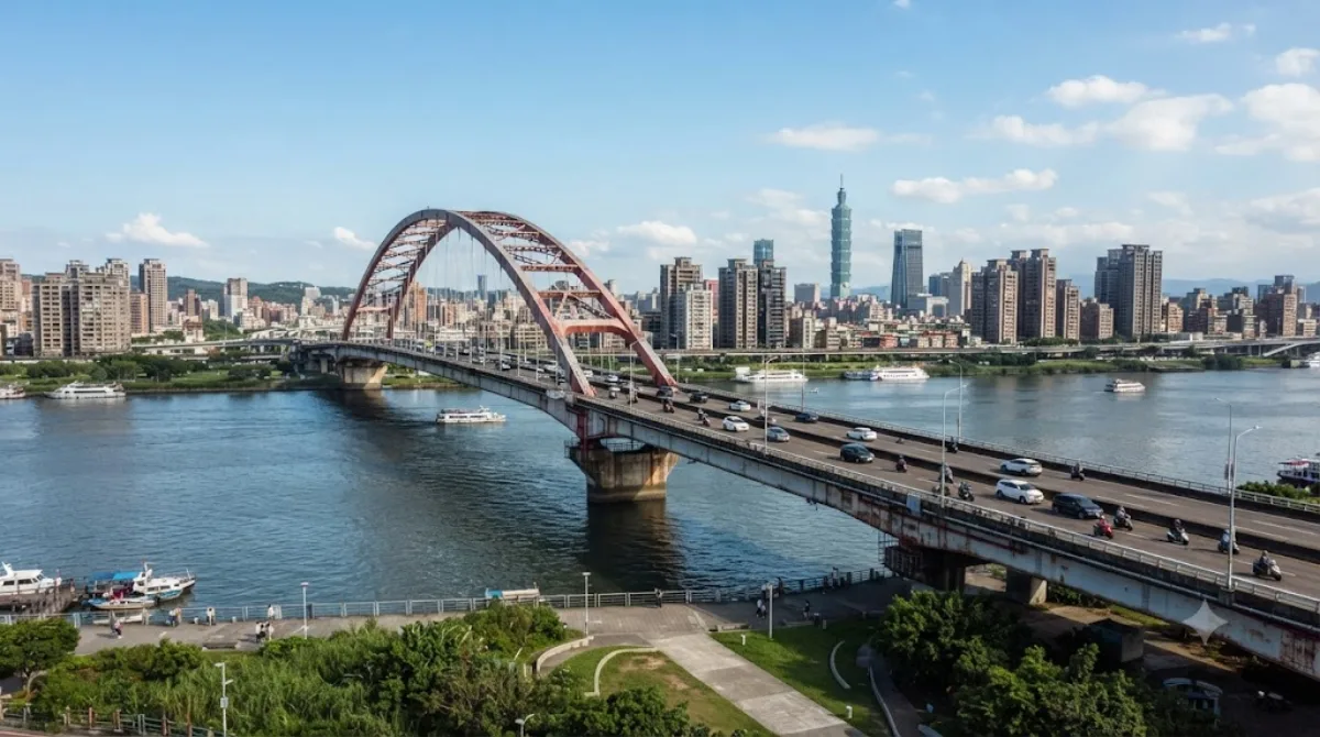
Taipei Bridge
Die Taipei Bridge ist eine Straßenbrücke über den Tamsui-Fluss, die das Stadtzentrum von Taipeh mit dem Bezirk Sanchong in New Taipei City verbindet. Die Konstruktion besteht aus einer zentralen Hauptspanne von 481,6 Metern für Autos und einige Motorräder sowie schmaleren Seitenbrücken, die speziell für Fußgänger, Radfahrer und Motorräder vorgesehen sind. Reisende nutzen die Brücke vor allem, um die Stadtteile zu wechseln oder den Blick auf den Fluss und die umliegende städtische Architektur zu beobachten.
Anreise und Zeitaufwand
Die Brücke ist vom Stadtzentrum aus über das lokale Straßennetz oder mit öffentlichen Verkehrsmitteln erreichbar. Je nach Startpunkt und Verkehrslage dauert die Fahrt etwa 15 bis 30 Minuten. Da es sich um ein funktionales Bauwerk handelt, reicht ein Zeitaufwand von 30 bis 60 Minuten aus, um die Brücke zu überqueren und die Umgebung zu betrachten.
Besuchszeitpunkt
Die Brücke kann zu jeder Tageszeit besucht werden. In den Stoßzeiten des Berufsverkehrs ist auf den Fahrspuren mit einem hohen Verkehrsaufkommen zu rechnen, was die Überquerung für Fußgänger unruhig machen kann. Die Wetterbedingungen in Taipeh variieren saisonal, wobei die regenfreien Monate für einen Spaziergang vorzuziehen sind.
Kombinationsmöglichkeiten
In der näheren Umgebung befinden sich mehrere kulturelle Sehenswürdigkeiten, die mit dem Besuch der Brücke kombiniert werden können:
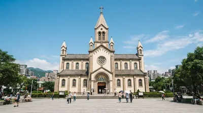
- Immaculate Conception Cathedral, Taipei (1,2 km)
- Ama Museum (1,2 km)
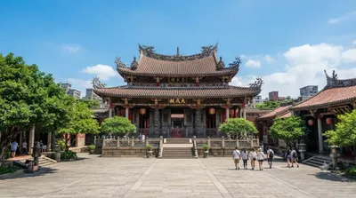
- Taipei Confucian Temple (1,5 km)
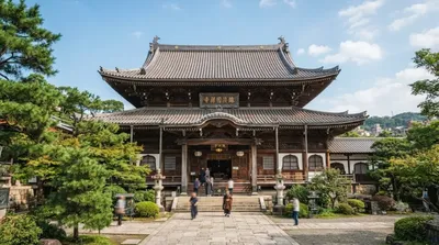
- Huguo Chan Buddhist Temple of the Linji School (1,8 km)
Aktualisiert 20. September 2026 · Redaktion die World by City-Redaktion
 GetYourGuide
 Klook
Klook
 Tiqets
 KKday
KKday
 WeGoTrip
 Booking.com
 Hotels.com