Views & landmarks
Taipei Bridge
What it is
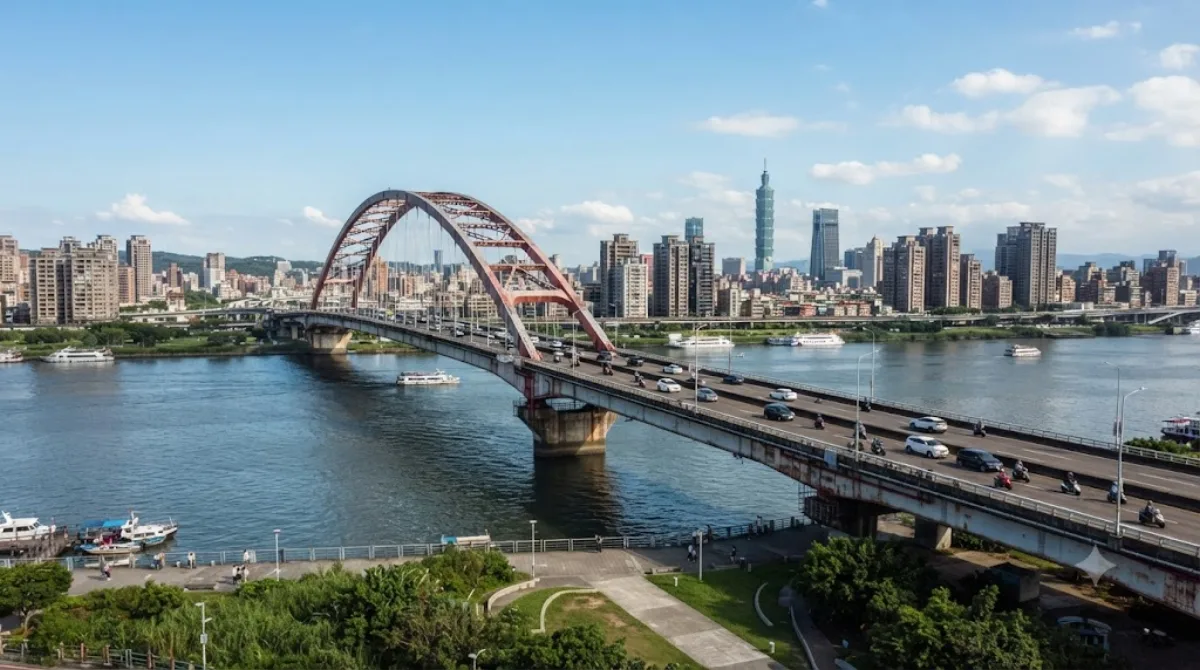
Taipei Bridge carries road traffic across the Tamsui River, linking Taipei's Datong District with Sanchong District in New Taipei City. The main span runs 481.6 metres and handles cars and some motorcycles, while narrower side spans carry the bulk of the motorcycle traffic along with cyclists and pedestrians. There's no observation deck or ticketed viewpoint here — it's a working bridge, and the appeal for a visitor is walking or cycling across it for open river views and a look at the city's daily traffic flow, rather than any landmark architecture.
Getting there
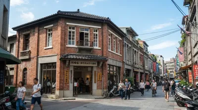
The bridge sits on the Taipei side near the older Dadaocheng and Datong neighbourhoods, a short taxi or bus ride from the city centre — figure roughly 20-30 minutes depending on traffic. It's also reachable on foot or by bike along the riverside paths that run beside the Tamsui River.
Time to allow
Walking across and back takes about 30-45 minutes if you're just there for the views. Cyclists passing through as part of a longer riverside ride won't need to stop for more than a few minutes.
When to go
Traffic on the central span is heavy with cars and scooters during morning and evening commute hours, which makes those times noisier and less pleasant for walking. Early morning or late afternoon on the pedestrian side spans tends to be calmer, and the riverside setting is more comfortable outside the hottest midday hours in summer.
Combine it with
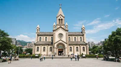
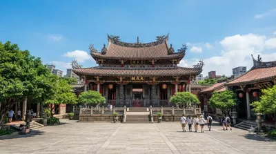
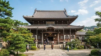
The bridge is close to several of Taipei's older cultural sites: Immaculate Conception Cathedral and the Ama Museum are both about 1.2km away, Taipei Confucian Temple is around 1.5km, and Huguo Chan Buddhist Temple of the Linji School is about 1.8km. These can be strung together into a single walking loop through the historic Dadaocheng area before or after crossing the bridge.
Updated September 20, 2026 · Edited by the World by City editors
 GetYourGuide
 Klook
Klook
 Tiqets
 KKday
KKday
 WeGoTrip
 Booking.com
 Hotels.com