自然
Mount Manunggal
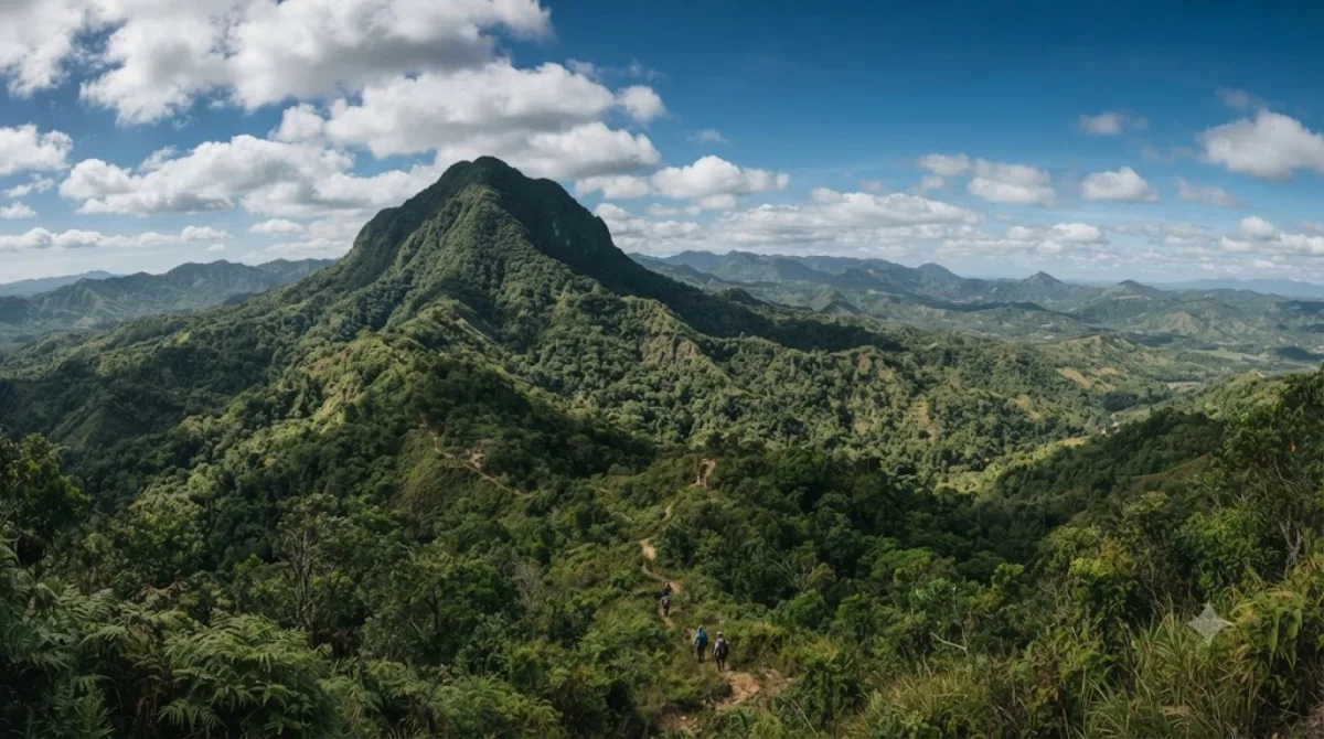
Mount Manunggal is the third-highest peak in the island of Cebu after Osmena Peak and Lugsangan Peak. It is located in Barangay Magsaysay in Balamban, Cebu province, rising 982 m (3,222 ft) above sea level. It is the site of the crash of the presidential plane Mt. Pinatubo that killed President Ramon Magsaysay and 24 others on March 17, 1957.
What it is
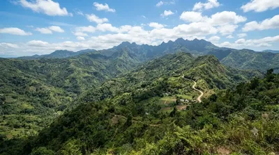
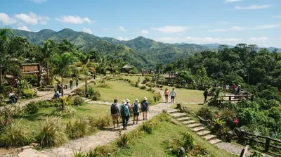
Mount Manunggal is the third-highest peak on Cebu island, reaching 982 m in Barangay Magsaysay, Balamban. Most visitors come for the historical connection: this is where the presidential plane crashed on March 17, 1957, killing President Ramon Magsaysay and 24 others. A marker and shrine at the site commemorate the event, and the mountain setting itself offers cooler air and views over Cebu's interior ranges.
Getting there
From Cebu City, the mountain is reached by heading inland toward Balamban, then following rough barangay roads up to Barangay Magsaysay. The drive typically takes around 1.5 to 2 hours depending on traffic through the city and road conditions higher up, which can be steep and unpaved in places. A private vehicle or a habal-habal (motorcycle taxi) for the final stretch is the practical option, as public transport doesn't run all the way to the summit area.
Time to allow
Plan for at least half a day once you factor in the travel time. At the site itself, an hour or two is usually enough to see the memorial marker, walk around the summit area, and take in the views before heading back down.
When to go
Go earlier in the day, since the road up can be harder to manage after rain and mist tends to roll in by afternoon. The rainy season (roughly June to November) can make the unpaved sections slippery, so dry months are more comfortable for the drive. It is not a heavily visited site day-to-day, though it can see more local visitors around the anniversary of the crash in March.
Combining with nearby sites
- Central Cebu Protected Landscape (6.4 km) – close enough to pair with Mount Manunggal in the same outing.
- Kan-irag Nature Park (7.6 km) – another nearby nature stop for the same trip.
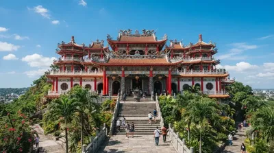
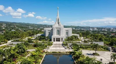
- Cebu Taoist Temple (15.5 km) and Cebu City Philippines Temple (16.6 km) – further out, better suited to a separate day back in the city.
出典:ウィキペディア・OpenStreetMap の公開データ · 2026年8月5日 更新 · 編集 World by City 編集部