World by City

自然

Central Cebu Protected Landscape

Central Cebu Protected Landscape

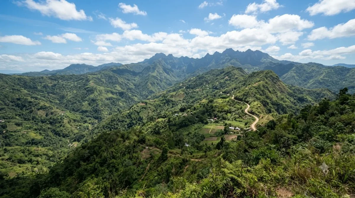
The Central Cebu Protected Landscape (CCPL) is a protected area located in the mountains and drainage basins of central Cebu in the Philippines.

Central Cebu Protected Landscape

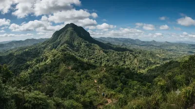
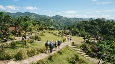
The Central Cebu Protected Landscape is a large protected area covering the mountain range and watershed that runs through the interior of Cebu island. It's not a single site with a defined entrance so much as a broader zone of forest, ridgelines, and river systems, and most visitors experience it through specific access points, trails, or viewpoints within its boundaries rather than the protected area as a whole. It appeals to travellers who want forest cover, elevation, and cooler air away from the coast, along with hiking routes and views over the island's central spine.

Getting there

The protected landscape sits inland from Cebu City, in the hills above the metro area. Reaching it typically means a drive of around one to two hours from the city centre, depending on which part of the landscape or which trailhead you're heading for, since the terrain is spread across several municipalities. A private vehicle or hired driver is the most practical option, as public transport into the mountain barangays is limited and irregular.

Time to allow

Plan for at least half a day once travel time is factored in. A half-day trip covers a short walk or a single viewpoint; a full day allows for a longer hike or visiting more than one access point within the landscape.

When to go

Mornings are cooler and clearer, which matters both for hiking comfort and for visibility if you're going for views. The mountains catch more rain than the coast, so the wetter months (roughly June to November) can mean muddy trails and reduced visibility — check conditions before heading up if travelling in that period.

Combining with nearby sites

Mount Manunggal (6.4 km) sits within the same mountain area and is a natural pairing for a hiking-focused day. Kan-irag Nature Park (12.5 km) is also close enough to combine if you have a full day and your own transport. Cebu Taoist Temple (20.7 km) is farther out and better treated as a separate stop back toward the city.

出典:ウィキペディア・OpenStreetMap の公開データ · 2026年8月5日 更新 · 編集 World by City 編集部

チケット・ツアー予約

入場料や営業時間は変わりやすいためここには載せていません。下で現在販売中のチケットと価格をご確認ください。事前購入で待ち時間を減らせる場所もあります。

検索結果にこの場所のチケットがない場合もあります。入場無料、または現地販売のみの施設もあります。

Central Cebu Protected Landscape 周辺の宿

歩いて行ける距離から近い順に並べています。距離は直線距離です。

地図 © OpenStreetMap 寄稿者。直線でつないでいるため実際の経路とは異なります。

Central Cebu Protected Landscape 周辺の宿

宿の位置と名称は OpenStreetMap のデータに基づきます。価格と空室は各予約サイトでご確認ください。

あわせて訪れたい場所

Mount Manunggal

自然

Mount Manunggal

Mount Manunggal is the third-highest peak in the island of Cebu after Osmena Peak and Lugsangan Peak. It is located in Barangay Magsaysay in Balamban, Cebu province, rising 982 m (3,222 ft) above sea level. It is the site of the crash of the presidential plane Mt. Pinatubo that killed President Ramon Magsaysay and 24 others on March 17, 1957.

ここから 6.4 km

Kan-irag Nature Park

公園・庭園

Kan-irag Nature Park

The Kan-irag Nature Park is a watershed and nature park in the uplands of Cebu City, Philippines that opened in the mid-2000s. It was once a bald mountain, but due to reforestation with native trees, the area became a functioning watershed. It is home to about 27 native bird species, such as the emerald dove, Asian glossy starling, the collared kingfisher, the black-naped oriole, and the olive-backed sunbird. The park's size is 71 hectares.

ここから 12.5 km

ヴィサヤ

自然

ヴィサヤ

ビサヤ諸島 は、フィリピン中部、ルソン島とミンダナオ島にはさまれた海域にある島々。ヴィサヤ諸島とも表記。中心都市は、フィリピン第2の大都市圏「メトロ・セブ」の中核であるセブ市。

ここから 19.1 km

도교 사원

寺社・宗教施設

도교 사원

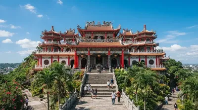
도교 사원(Cebu Taoist Temple, 중국어: 宿霧定光寶殿)은 필리핀 세부시의 베버리 힐즈의 중앙에 세워진 큰 도교 사원이다. 중국사원이라고도 한다. 중국의 철학자 노자의 가르침을 전하는 사원으로 매주 수요일, 토요일은 예식이 행하여져 신자들로 붐빈다. 빨강, 파랑, 노랑 등의 원색적으로 칠한 동양풍의 건물이 언덕의 푸르름과 조화를 이루어 마치 한폭의 그림같다. 야간에는 색색의 전구가 밤하늘을 비춰, 한층 그 아름다움을 더하고 있다.

ここから 20.7 km

Cebu City Philippines Temple

寺社・宗教施設

Cebu City Philippines Temple

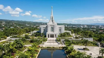
The Cebu City Philippines Temple is the 133rd operating temple of the Church of Jesus Christ of Latter-day Saints and the second constructed in the Philippines, following the one in Manila. The temple is located on Gorordo Avenue in Lahug, Cebu City, and serves church members in the Visayas and Mindanao regions.

ここから 21.6 km

Silut Lagoon

自然

Silut Lagoon

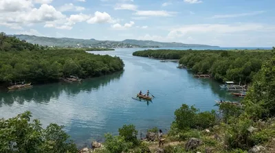
Silot Lagoon is a shallow body of water located in the municipality of Liloan, Cebu, the Philippines. It is a lagoon surrounded by mangroves, connected to the Camotes Sea by a narrow outlet called the Liloan River. The lagoon has depths of between 1 and 2 feet and is situated just south of Liloan's poblacion. It is bounded to the east by the village of Catarman, to the west by Yati, and to the south by Tayud. It has sandbars near its outlet at the Liloan River.

ここから 22.6 km