World by City

Nature

Central Cebu Protected Landscape
Central Cebu Protected Landscape

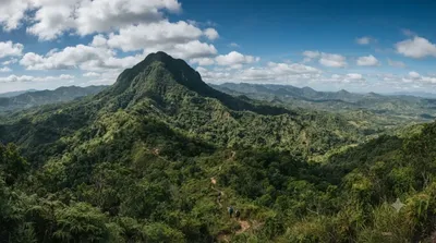
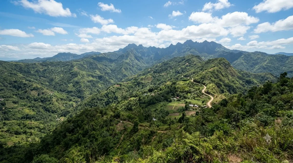
The Central Cebu Protected Landscape (CCPL) is a protected area located in the mountains and drainage basins of central Cebu in the Philippines.

Central Cebu Protected Landscape

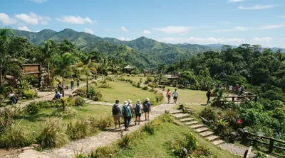
The Central Cebu Protected Landscape is a large protected area covering the mountain range and watershed that runs through the interior of Cebu island. It's not a single site with a defined entrance so much as a broader zone of forest, ridgelines, and river systems, and most visitors experience it through specific access points, trails, or viewpoints within its boundaries rather than the protected area as a whole. It appeals to travellers who want forest cover, elevation, and cooler air away from the coast, along with hiking routes and views over the island's central spine.

Getting there

The protected landscape sits inland from Cebu City, in the hills above the metro area. Reaching it typically means a drive of around one to two hours from the city centre, depending on which part of the landscape or which trailhead you're heading for, since the terrain is spread across several municipalities. A private vehicle or hired driver is the most practical option, as public transport into the mountain barangays is limited and irregular.

Time to allow

Plan for at least half a day once travel time is factored in. A half-day trip covers a short walk or a single viewpoint; a full day allows for a longer hike or visiting more than one access point within the landscape.

When to go

Mornings are cooler and clearer, which matters both for hiking comfort and for visibility if you're going for views. The mountains catch more rain than the coast, so the wetter months (roughly June to November) can mean muddy trails and reduced visibility — check conditions before heading up if travelling in that period.

Combining with nearby sites

Mount Manunggal (6.4 km) sits within the same mountain area and is a natural pairing for a hiking-focused day. Kan-irag Nature Park (12.5 km) is also close enough to combine if you have a full day and your own transport. Cebu Taoist Temple (20.7 km) is farther out and better treated as a separate stop back toward the city.

Sources: open data from Wikipedia and OpenStreetMap · Updated August 5, 2026 · Edited by the World by City editors

Tickets & tours

Admission prices and opening hours change often, so we don't list them here. Check what's on sale and at what price below — booking ahead can cut the queue at some places.

This place may not appear in the results — some sites are free to enter or sell tickets only at the gate.

Stays near Central Cebu Protected Landscape

Sorted by distance, walkable ones first. Distances are straight-line.

Map © OpenStreetMap contributors. Lines are straight connections, not actual routes.

Central Cebu Protected Landscape Nearby stays

Locations and names come from OpenStreetMap. Check prices and availability on the booking sites.

Good to visit alongside

Mount Manunggal

Nature

Mount Manunggal

Mount Manunggal is the third-highest peak in the island of Cebu after Osmena Peak and Lugsangan Peak. It is located in Barangay Magsaysay in Balamban, Cebu province, rising 982 m (3,222 ft) above sea level. It is the site of the crash of the presidential plane Mt. Pinatubo that killed President Ramon Magsaysay and 24 others on March 17, 1957.

6.4 km away

Kan-irag Nature Park

Parks & gardens

Kan-irag Nature Park

The Kan-irag Nature Park is a watershed and nature park in the uplands of Cebu City, Philippines that opened in the mid-2000s. It was once a bald mountain, but due to reforestation with native trees, the area became a functioning watershed. It is home to about 27 native bird species, such as the emerald dove, Asian glossy starling, the collared kingfisher, the black-naped oriole, and the olive-backed sunbird. The park's size is 71 hectares.

12.5 km away

Visayas

Nature

Visayas

The Visayas, or the Visayan Islands, are one of the three principal geographical divisions of the Philippines, along with Luzon and Mindanao. Located in the central part of the archipelago, it consists of several islands, primarily surrounding the Visayan Sea, although the Visayas are also considered the northeast extremity of the entire Sulu Sea. Its inhabitants are predominantly the Visayan peoples.

19.1 km away

Cebu Taoist Temple

Temples & religious sites

Cebu Taoist Temple

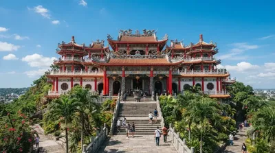
Cebu Taoist Temple is a Taoist temple located in Beverly Hills Subdivision of Cebu City, Philippines.

20.7 km away

Cebu City Philippines Temple

Temples & religious sites

Cebu City Philippines Temple

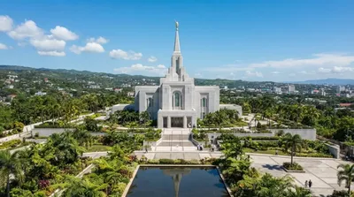
The Cebu City Philippines Temple is the 133rd operating temple of the Church of Jesus Christ of Latter-day Saints and the second constructed in the Philippines, following the one in Manila. The temple is located on Gorordo Avenue in Lahug, Cebu City, and serves church members in the Visayas and Mindanao regions.

21.6 km away

Silut Lagoon

Nature

Silut Lagoon

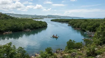
Silot Lagoon is a shallow body of water located in the municipality of Liloan, Cebu, the Philippines. It is a lagoon surrounded by mangroves, connected to the Camotes Sea by a narrow outlet called the Liloan River. The lagoon has depths of between 1 and 2 feet and is situated just south of Liloan's poblacion. It is bounded to the east by the village of Catarman, to the west by Yati, and to the south by Tayud. It has sandbars near its outlet at the Liloan River.

22.6 km away