Natur
Central-Cebu-Nationalpark
Central Cebu Protected Landscape
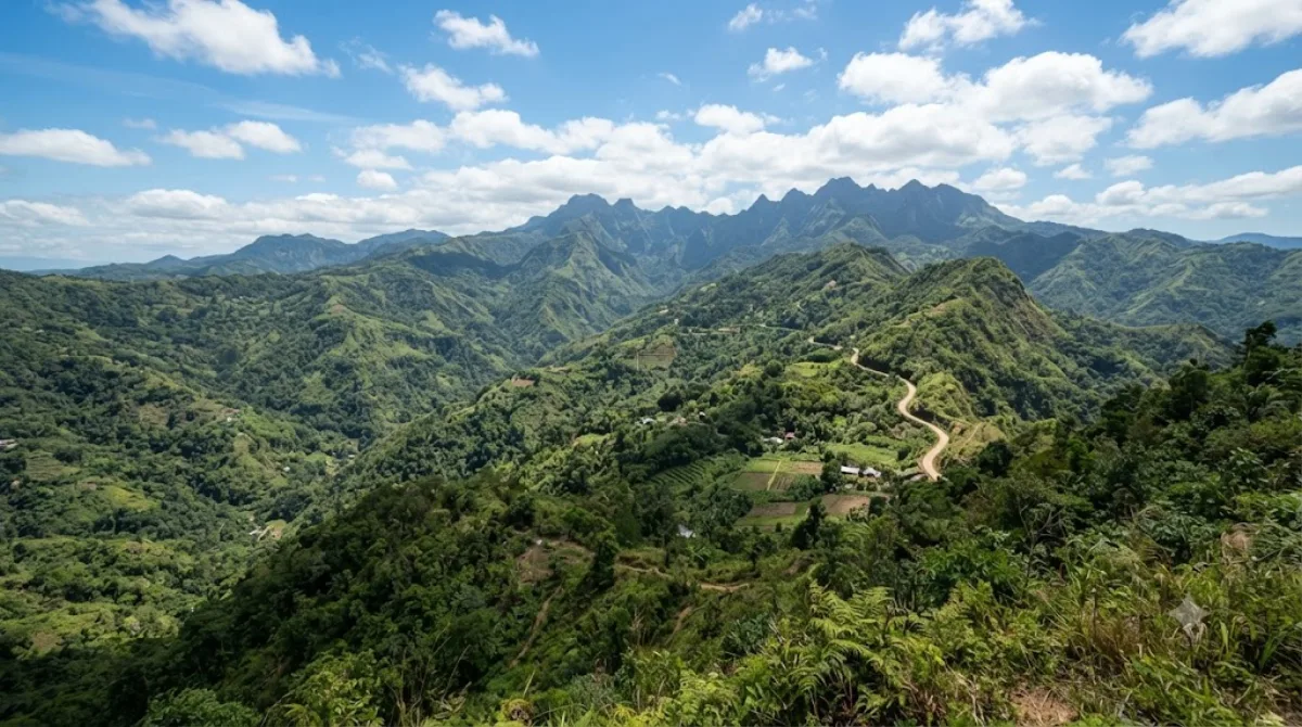
Central Cebu Protected Landscape
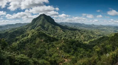
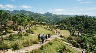
Die Central Cebu Protected Landscape (CCPL) ist ein Naturschutzgebiet, das die Bergregionen und die wichtigsten Flusseinzugsgebiete im Zentrum der Insel Cebu umfasst. Im Gegensatz zur urbanen Küstenlandschaft von Cebu City besteht das Gebiet aus dichten Wäldern und Bergkämmen. Reisende besuchen diese Region primär für Trekkingtouren oder Fahrten durch die Berglandschaft, wobei der Fokus auf der Erkundung der Natur und der Wälder liegt und nicht auf einzelnen Sehenswürdigkeiten.
Anreise und Zeitplanung
Die Anreise erfolgt vom Stadtzentrum von Cebu City aus meist per Mietwagen oder lokalem Transport in die bergigen Innenlandregionen. Die Fahrzeit variiert je nach genauem Zielpunkt innerhalb des Schutzgebietes, dauert jedoch in der Regel mehrere Stunden.
Aufgrund der Weitläufigkeit des Geländes und der Zeit, die für Wanderungen oder Fahrten durch die Wälder benötigt wird, sollte man mindestens einen vollen Tag einplanen.
Beste Besuchszeit
Besuche sind tagsüber möglich. Es empfiehlt sich, die trockene Jahreszeit zu wählen, um bessere Bedingungen für Wanderungen zu haben. Während der Regenzeit können die Wege in den Wäldern rutschig oder schwer passierbar sein.
Kombinationsmöglichkeiten
In der Umgebung befinden sich weitere Ziele, die mit einem Besuch kombiniert werden können:
- Mount Manunggal (6,4 km)
- Kan-irag Nature Park (12,5 km)
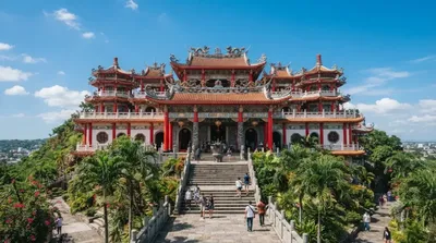
- Cebu Taoist Temple (20,7 km)
Aktualisiert 20. September 2026 · Redaktion die World by City-Redaktion
 GetYourGuide
 Klook
Klook
 Tiqets
 KKday
KKday
 WeGoTrip
 Booking.com
 Hotels.com