Natur
Visayas
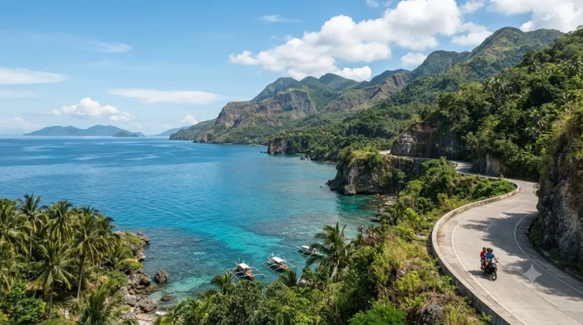
Die Visayas in Cebu
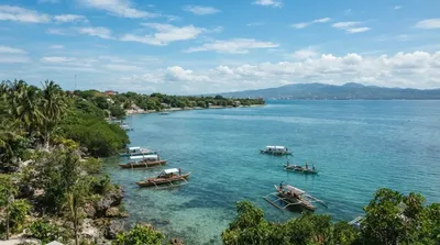
Die Visayas bilden eine der drei Hauptinselgruppen der Philippinen. In der Region Cebu bietet insbesondere die Südküste einen direkten Einblick in die Geografie des Archipels. Besucher kommen hierher, um die offene Küstenlinie und den Blick auf die in der Visayan Sea verstreuten Inseln zu beobachten. Es handelt sich nicht um eine einzelne touristische Einrichtung, sondern um die natürliche Landschaft und die weite Meeresansicht.
Anreise und Zeitplanung
Die Erreichbarkeit der Küstenabschnitte variiert je nach genauem Standort, erfolgt jedoch in der Regel per Taxi oder lokalem Mietwagen vom Stadtzentrum Cebus aus. Die Fahrtzeit hängt vom Verkehr ab, nimmt aber meist mehrere Stunden in Anspruch, da die Küstenregionen außerhalb des Kerngebiets liegen.
Da es sich um Naturbeobachtungen und Küstenwanderungen handelt, sollten Besucher etwa einen halben bis einen ganzen Tag einplanen, um die Umgebung in Ruhe zu erkunden.
Beste Besuchszeit
Die Region ist während der Trockenzeit am besten zugänglich. Es wird empfohlen, die Küste in den frühen Morgenstunden oder am späten Nachmittag aufzusuchen, um die Sicht auf die Inselgruppen bei weniger intensiver Sonneneinstrahlung zu nutzen. In den Hauptreisezeiten kann es an den zugänglichen Aussichtspunkten voller werden.
Kombinationsmöglichkeiten
In der näheren Umgebung befinden sich weitere Naturpunkte und Sehenswürdigkeiten, die in die Reiseplanung integriert werden können:
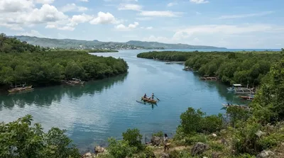
- Silut Lagoon (11,1 km)
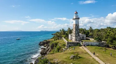
- Bagacay Point Lighthouse (13,1 km)
- Magellan Bay (18,6 km)
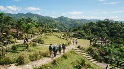
- Kan-irag Nature Park (18,7 km)
Aktualisiert 20. September 2026 · Redaktion die World by City-Redaktion
 GetYourGuide
 Klook
Klook
 Tiqets
 KKday
KKday
 WeGoTrip
 Booking.com
 Hotels.com