World by City

自然

ヴィサヤ

Visayas

ヴィサヤ

ビサヤ諸島 は、フィリピン中部、ルソン島とミンダナオ島にはさまれた海域にある島々。ヴィサヤ諸島とも表記。中心都市は、フィリピン第2の大都市圏「メトロ・セブ」の中核であるセブ市。

About Visayas

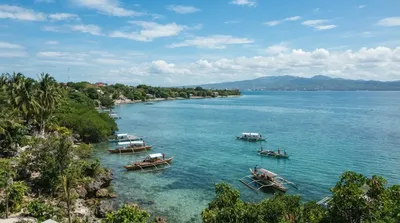
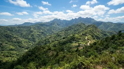
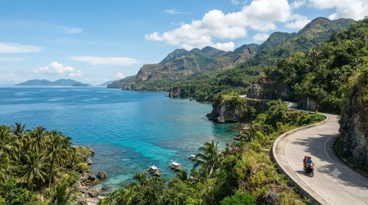
The Visayas is not a single site but the island group at the centre of the Philippine archipelago, sitting between Luzon and Mindanao and wrapped around the Visayan Sea. Cebu is effectively the region's hub, so visitors based here are really using the city as a base for exploring the wider island group rather than visiting one fixed attraction. The appeal is the geography itself: a scattering of islands, coastline, and sea channels that gives access to beaches, dive sites, and smaller islands reachable by boat from Cebu.

Getting there and around

Most travellers arrive via Mactan-Cebu International Airport (CEB), which sits just outside Cebu City and serves as the main gateway for onward inter-island travel. From the airport or city centre, reaching specific coastal or island points within the Visayas typically means a combination of a short land transfer and a ferry or boat crossing, since the region is made up of separate islands rather than one connected landmass.

Time to allow

Because this is a region rather than a single stop, plan by the specific place you're heading to within it — a coastal viewpoint or lagoon might take a couple of hours, while island-hopping can fill a full day or more.

When to go

Coastal and sea-facing spots are generally more pleasant earlier in the day, before heat and boat traffic build up. Weather on open water can change quickly, so it's worth checking conditions before any boat crossing.

Combine with

  • Silut Lagoon (11.1km)
  • Bagacay Point Lighthouse (13.1km)
  • Magellan Bay (18.6km)
  • Kan-irag Nature Park (18.7km)

出典:ウィキペディア・OpenStreetMap の公開データ · 2026年8月5日 更新 · 編集 World by City 編集部

チケット・ツアー予約

入場料や営業時間は変わりやすいためここには載せていません。下で現在販売中のチケットと価格をご確認ください。事前購入で待ち時間を減らせる場所もあります。

検索結果にこの場所のチケットがない場合もあります。入場無料、または現地販売のみの施設もあります。

ヴィサヤ 周辺の宿

歩いて行ける距離から近い順に並べています。距離は直線距離です。

地図 © OpenStreetMap 寄稿者。直線でつないでいるため実際の経路とは異なります。

ヴィサヤ 周辺の宿

宿の位置と名称は OpenStreetMap のデータに基づきます。価格と空室は各予約サイトでご確認ください。

この場所を含む日程

あわせて訪れたい場所

Silut Lagoon

自然

Silut Lagoon

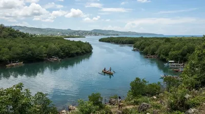
Silot Lagoon is a shallow body of water located in the municipality of Liloan, Cebu, the Philippines. It is a lagoon surrounded by mangroves, connected to the Camotes Sea by a narrow outlet called the Liloan River. The lagoon has depths of between 1 and 2 feet and is situated just south of Liloan's poblacion. It is bounded to the east by the village of Catarman, to the west by Yati, and to the south by Tayud. It has sandbars near its outlet at the Liloan River.

ここから 11.1 km

Bagacay Point Lighthouse

展望・ランドマーク

Bagacay Point Lighthouse

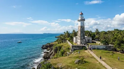
Bagacay Point Lighthouse is an active lighthouse in Liloan, Cebu, in the Philippines.

ここから 13.1 km

Magellan Bay

自然

Magellan Bay

Magellan Bay is a bay located northeast of Mactan Island, near the city of Lapu-Lapu in the Philippines. The bay is named after the Portuguese explorer Ferdinand Magellan, who was killed in this area by the forces of Lapu-Lapu.

ここから 18.6 km

Kan-irag Nature Park

公園・庭園

Kan-irag Nature Park

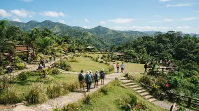
The Kan-irag Nature Park is a watershed and nature park in the uplands of Cebu City, Philippines that opened in the mid-2000s. It was once a bald mountain, but due to reforestation with native trees, the area became a functioning watershed. It is home to about 27 native bird species, such as the emerald dove, Asian glossy starling, the collared kingfisher, the black-naped oriole, and the olive-backed sunbird. The park's size is 71 hectares.

ここから 18.7 km

Central Cebu Protected Landscape

自然

Central Cebu Protected Landscape

The Central Cebu Protected Landscape (CCPL) is a protected area located in the mountains and drainage basins of central Cebu in the Philippines.

ここから 19.1 km

マルセロ・フェルナン橋

展望・ランドマーク

マルセロ・フェルナン橋

マルセロ・フェルナン橋 はフィリピンにある長大なプレストレスト・コンクリート橋(エクストラドーズド橋)。マクタン・セブ国際空港やビーチリゾートのあるマクタン島のラプ=ラプ市と、セブ島のマンダウエ市とを結ぶ。セブ市を中心とするフィリピン第二の大都市圏メトロ・セブの交通網の一部をなす。第二セブ・マクタン橋 とも呼ばれる。

ここから 19.6 km