World by City

自然

ソン・トラ山

Sơn Trà Mountain
ソン・トラ山

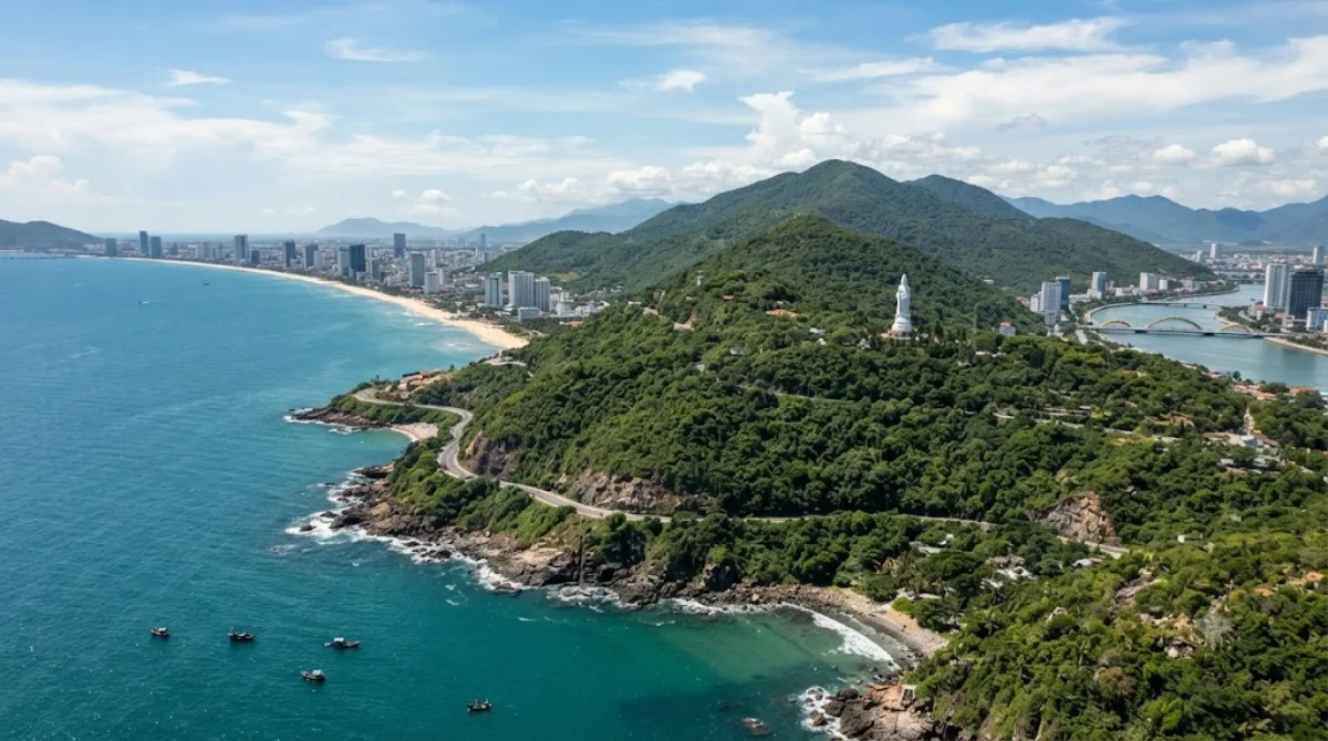
선짜산(베트남어: Núi Sơn Trà / 𡶀山茶)은 베트남 다낭시 선짜군에 위치한 산이다. 남중국해가 내려다 보이고, 다낭항의 띠엔사 터미널은 산의 서쪽 기슭에 위치해 있으며, 띠엔사 해변 근처에 있다. 산 위에 있는 원숭이 산 시설(Monkey Mountain Facility)은 베트남 전쟁 당시 미군기지였다.

What it is

Sơn Trà, often called Monkey Mountain, is a forested peninsula that juts out from Da Nang into the East Sea, forming the north-eastern edge of the bay. It's the largest remaining patch of natural forest close to the city, and it's home to a population of red-shanked douc langurs, a colorful, endangered monkey species you have a reasonable chance of spotting along the upper roads, especially in quieter early-morning hours. The main draw is the drive itself: a winding road through jungle with pull-offs facing the bay, the city skyline, and the open sea, plus a few viewpoints and a lighthouse near the peninsula's tip.

Getting there

From central Da Nang, Sơn Trà is reached by crossing one of the river bridges and following the coastal road north toward the peninsula. By taxi or motorbike, the base of the mountain is roughly 15-20 minutes from the city centre; from there, the climb up to the main viewpoints and the lighthouse adds another 20-30 minutes of driving on switchback roads. There's no public bus route up the mountain itself, so most visitors go by motorbike, taxi, or a hired car with driver.

How much time to allow

Plan on at least half a day if you want to drive the loop road, stop at a few viewpoints, and visit Linh Ung Pagoda. A shorter visit focused on one or two lookout points can be done in about two hours.

When to go

Mornings tend to be cooler and give the best chance of seeing the langurs before they retreat deeper into the forest. The roads are narrow and exposed in places, so heavy rain or fog (more common in the winter months) can make the drive unpleasant and reduce visibility at the viewpoints. Weekends can bring more traffic from local visitors heading up for the views.

What to combine it with

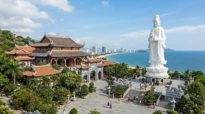
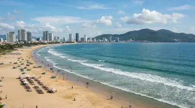
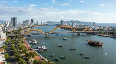
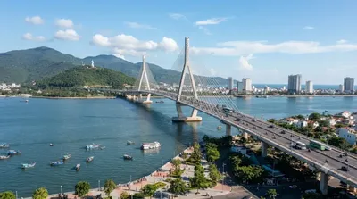
Linh Ung Pagoda sits partway up the mountain, only about 2.5km from the peninsula, and is the easiest add-on to a Sơn Trà trip. On the way back to the city, My Khe Beach (7km) is a natural stop to unwind, and the route passes near the Han River (7.5km) and Thuận Phước Bridge (7.6km), both worth a brief look if you're already driving that stretch of coast.

出典:ウィキペディア・OpenStreetMap の公開データ · 2026年8月5日 更新 · 編集 World by City 編集部

チケット・ツアー予約

入場料や営業時間は変わりやすいためここには載せていません。下で現在販売中のチケットと価格をご確認ください。事前購入で待ち時間を減らせる場所もあります。

検索結果にこの場所のチケットがない場合もあります。入場無料、または現地販売のみの施設もあります。

ソン・トラ山 周辺の宿

歩いて行ける距離から近い順に並べています。距離は直線距離です。

地図 © OpenStreetMap 寄稿者。直線でつないでいるため実際の経路とは異なります。

ソン・トラ山 周辺の宿

宿の位置と名称は OpenStreetMap のデータに基づきます。価格と空室は各予約サイトでご確認ください。

あわせて訪れたい場所