遺跡・記念物
板付遺跡
Itazuke Site
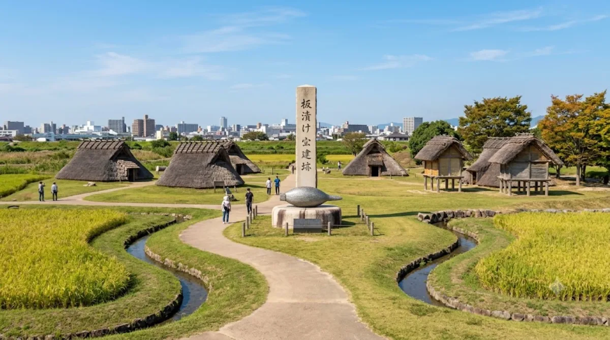
板付遺跡(いたづけいせき)は、福岡県福岡市博多区板付にある縄文時代晩期から弥生時代後期の複合遺跡。国の史跡に指定されている。遺跡は竪穴建物や水田が復元された公園になっており、展示施設(板付遺跡弥生館)もある。佐賀県唐津市にある菜畑遺跡に次ぐ水稲耕作遺跡であり、福岡県粕屋町の江辻遺跡に次ぐ、日本でも最初期の環濠集落でもある。
What it is
Itazuke Site is an excavated settlement in Hakata-ku that spans the late Jōmon through late Yayoi periods. It's known as one of the two earliest confirmed rice-paddy farming villages in Japan, alongside the Nabatake Site in Karatsu, and it also has the oldest known moated settlement layout in the country. The value here is archaeological and historical rather than visual: excavated features tied to early rice cultivation and defensive moats, protected as a National Historic Site since 1976, with the protected area expanded over time. This suits visitors interested in Japanese prehistory and the origins of wet-rice agriculture rather than those looking for a dramatic ruin.
Getting there
The site sits in Hakata-ku, within the greater Fukuoka city area, reachable from central Fukuoka by local bus or a combination of train and short walk in around 20-30 minutes. It is closer to central Fukuoka than to Fukuoka Airport (FUK), so most travellers will approach from downtown rather than straight off a flight.
Time to allow
Because much of the site consists of preserved grounds and interpretive markers rather than large standing structures, an hour or so is typically enough to walk the area and read the on-site information.
When to go
This is an open-air archaeological site, so a dry day with mild weather makes for a more comfortable visit, and spring or autumn avoids the heaviest summer humidity. It is not a major tourist draw, so crowding is not a significant concern here.
Combining with other sights
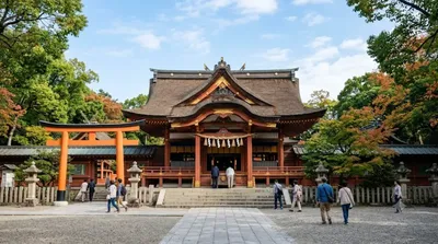
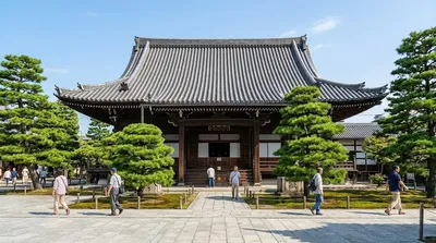
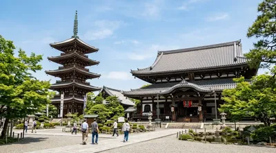
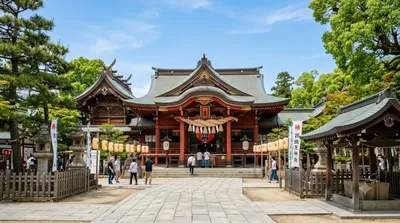
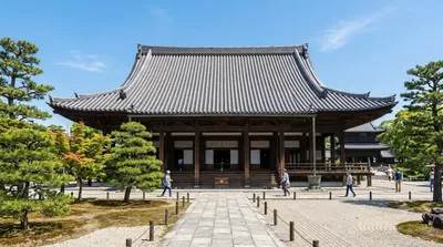
Itazuke Site is somewhat removed from Fukuoka's central temple and shrine cluster. Sumiyoshi Shrine (4.3km) is the nearest of the group, followed by Jōten-ji Temple (4.7km), Tōchō-ji Temple (4.9km), and Kushida Shrine (5km) — these four sit close together and can be combined into one loop on a day trip into central Fukuoka after visiting the archaeological site.
出典:ウィキペディア・OpenStreetMap の公開データ · 2026年8月5日 更新 · 編集 World by City 編集部