World by City

自然

発寒川

Hassamu River
発寒川

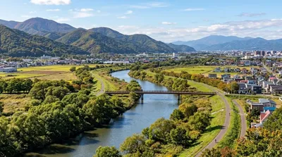
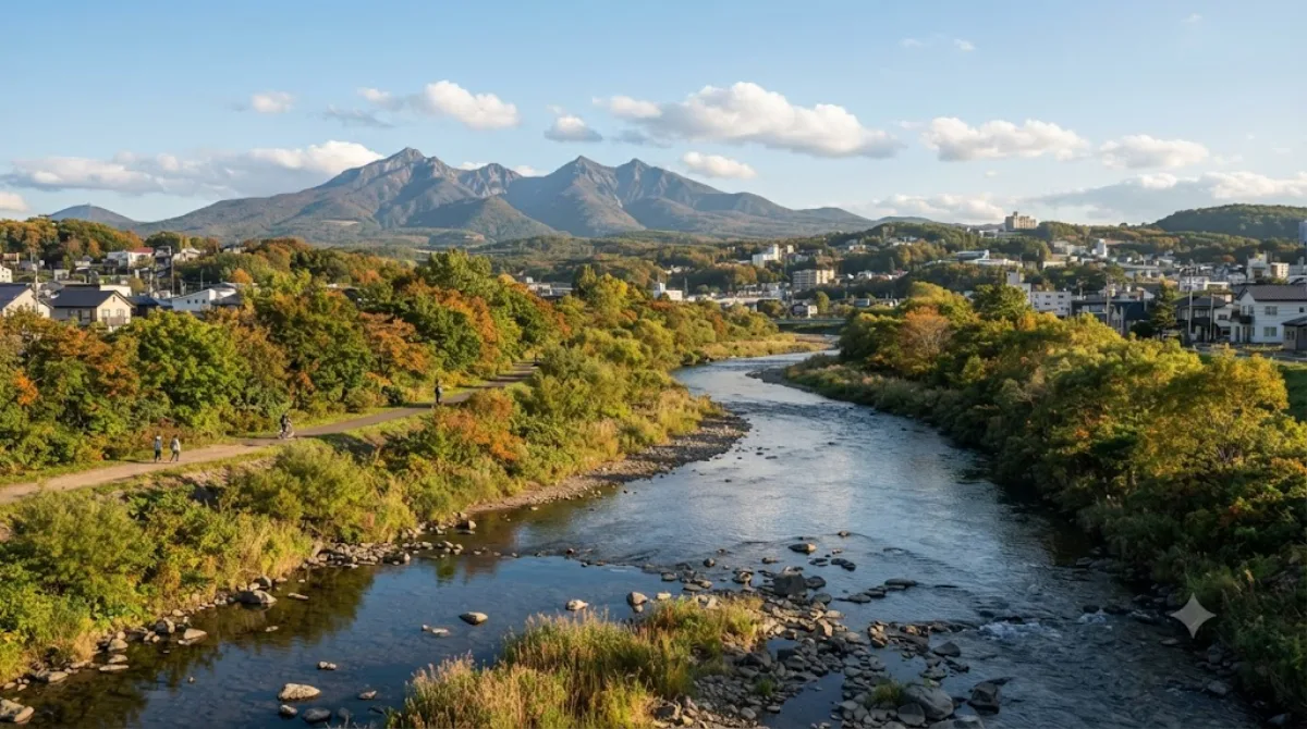
発寒川(はっさむかわ)は、北海道札幌市と石狩市の境界を流れる河川で、石狩川水系伏籠川支流の一級河川である。

What it is

The Hassamu River is a small urban river running through the western part of Sapporo, flowing north through residential and park land before joining the Sōsei River system. It's a quiet, low-key waterway rather than a scenic destination in its own right — the appeal is the maintained green corridor and walking path that runs alongside it, giving locals and visitors a place to walk or cycle away from traffic.

Getting there

The river runs through Nishi Ward, a short trip from central Sapporo. Depending on which stretch of the river you head for, the nearest subway or bus stops are generally within a 20-30 minute ride from the city centre, followed by a short walk to the riverside path.

How long to allow

A stroll along a section of the path can be done in 30-45 minutes. If you're combining it with a longer walk or cycle further along the river corridor, allow an hour or more.

When to go

Mornings or late afternoons are pleasant for walking, avoiding the midday heat in summer. In winter, paths along the river can be icy or snow-covered, so sturdy footwear is worth having. This is not a crowded tourist spot at any time of year — it's used mainly by nearby residents for walking and exercise.

Combine it with

  • Sōsei River (1.2km) - another of Sapporo's urban rivers, easily paired for a longer riverside walk.
  • Fushiko River (1.9km) - a further stretch of green waterway nearby.
  • Sapporo Satoland (6.6km) - a farm-park worth the longer trip if you want open space and family-friendly grounds.
  • Moerenuma Park (7km) - a larger landscaped park, best treated as a separate half-day outing given the distance.

出典:ウィキペディア・OpenStreetMap の公開データ · 2026年8月5日 更新 · 編集 World by City 編集部

チケット・ツアー予約

入場料や営業時間は変わりやすいためここには載せていません。下で現在販売中のチケットと価格をご確認ください。事前購入で待ち時間を減らせる場所もあります。

検索結果にこの場所のチケットがない場合もあります。入場無料、または現地販売のみの施設もあります。

発寒川 周辺の宿

歩いて行ける距離から近い順に並べています。距離は直線距離です。

地図 © OpenStreetMap 寄稿者。直線でつないでいるため実際の経路とは異なります。

発寒川 周辺の宿

宿の位置と名称は OpenStreetMap のデータに基づきます。価格と空室は各予約サイトでご確認ください。

あわせて訪れたい場所

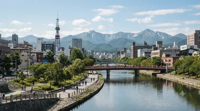
創成川

自然

創成川

創成川(そうせいがわ)は、北海道札幌市の中心を流れる石狩川水系伏籠川支流の一級河川に分類される、人工河川である。札幌市を東西に画する起点となっている。江戸時代に「大友堀」として作られ、1874年(明治7年)に「創成川」と改名された。長さ14.2km、流域面積は19.0km2ある。

ここから 1.2 km

伏籠川

自然

伏籠川

伏籠川(ふしこかわ)は、北海道札幌市を流れる石狩川水系茨戸川支流の一級河川。伏篭川、伏古川とも書く。

ここから 1.9 km

サッポロさとらんど

公園・庭園

サッポロさとらんど

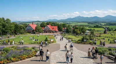
サッポロさとらんど は、札幌市東区にある施設。正式名称は札幌市農業体験交流施設。「さとらんど」の名称は一般公募によってふる里の「さと」とランド(大地)の「らんど」を合わせた造語であり、市民に愛される里づくりを願って名づけられた。

ここから 6.6 km

モエレ沼公園

博物館・美術館

モエレ沼公園

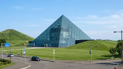
モエレ沼公園(モエレぬまこうえん)は、札幌市東区にある総合公園。札幌市の市街地を公園や緑地の帯で包み込もうという「環状グリーンベルト構想」における北東部緑地ゾーンの拠点として計画された。

ここから 7.0 km

厚別川

自然

厚別川

厚別川(あつべつがわ、あしりべつがわ)は、北海道札幌市および江別市を流れる石狩川水系豊平川の最大の支流で、一級河川である。札幌では2番目に長い川で、長さは41kmある。

ここから 8.6 km

サッポロビール博物館

博物館・美術館

サッポロビール博物館

サッポロビール博物館(サッポロビールはくぶつかん)は、北海道札幌市東区にある企業博物館。サッポロガーデンパークにあり、日本国内で唯一となるビールに関する博物館になっている。

ここから 10.6 km