World by City

博物館・美術館

モエレ沼公園

Moerenuma Park
モエレ沼公園

モエレ沼公園(モエレぬまこうえん)は、札幌市東区にある総合公園。札幌市の市街地を公園や緑地の帯で包み込もうという「環状グリーンベルト構想」における北東部緑地ゾーンの拠点として計画された。

What it is

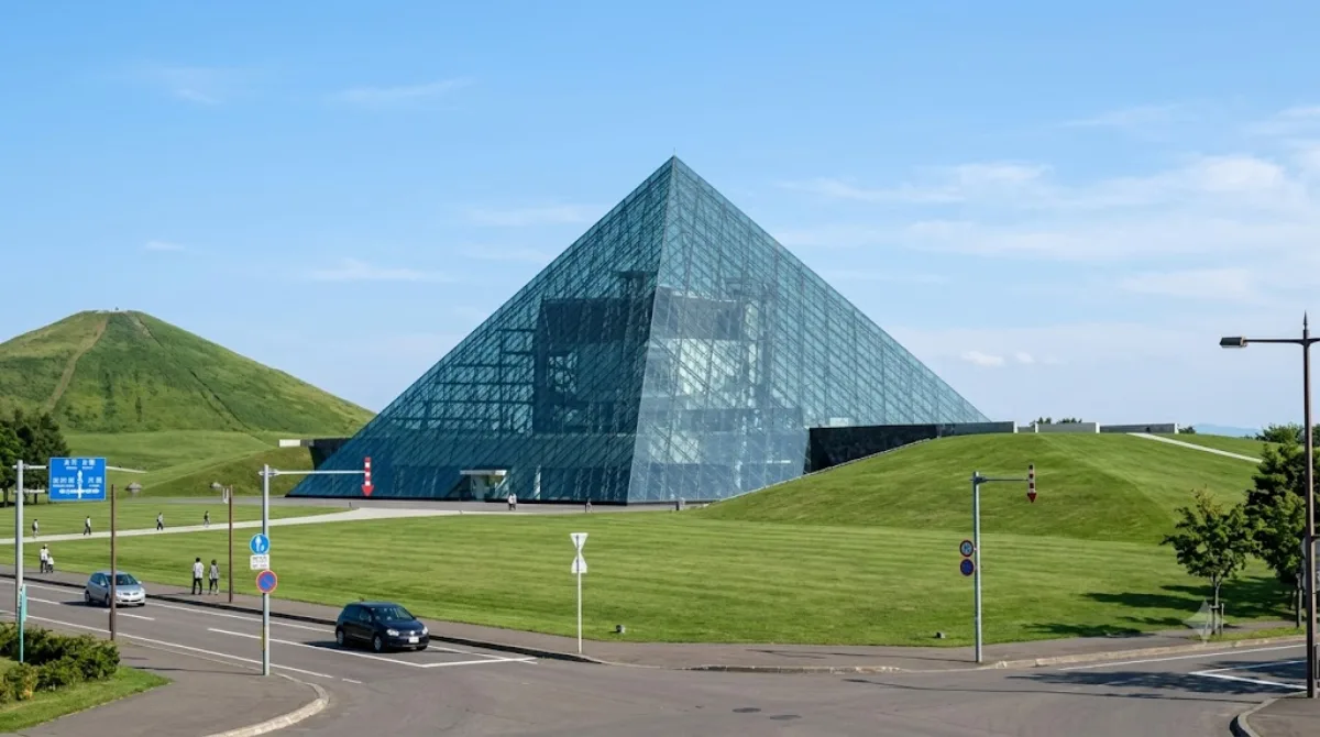
Moerenuma Park is a large open-air park built on a former landfill site and reclaimed as a single landscape work by the Japanese American artist Isamu Noguchi. Rather than a conventional museum, it's a park where the grounds themselves — earthworks, a glass pyramid, fountains, and a stepped mound called Mount Moere — function as sculpture. It also has playgrounds, outdoor sports fields, and open lawns, so it draws families and picnickers as much as design and art visitors.

Getting there

The park sits on the eastern edge of Sapporo, away from the central grid. From the city centre, the trip typically involves a subway ride followed by a local bus, with total travel time around 40-50 minutes depending on connections. It's not walkable from any central subway station, so plan for a combined transit trip rather than a quick hop.

How much time to allow

Because the park is spread over a large area with separate zones for the play structures, sports fields, and Noguchi's sculptural features, allow at least half a day to see the main areas without rushing. Visitors who want to walk the full grounds, climb Mount Moere, and spend time at the glass pyramid often stay longer.

When to go

As an outdoor park, conditions depend heavily on season and weather — winter access and snow cover change the experience considerably compared to warmer months. Weekends and fine-weather days tend to bring more families with children to the playground and lawn areas, so a weekday visit is likely quieter if you prefer to explore at a slower pace.

Combining with nearby sights

Sapporo Satoland is close by at about 1.3km, making it an easy pairing for the same outing, particularly for travellers with children. The Atsubetsu River, roughly 2.3km away, is another nearby option if you want a shorter walk or cycle in the same area. The Fushiko and Hassamu rivers are farther out, at 5.9km and 7km respectively, and are better suited to a separate trip than a same-day add-on.

出典:ウィキペディア・OpenStreetMap の公開データ · 2026年8月5日 更新 · 編集 World by City 編集部

チケット・ツアー予約

入場料や営業時間は変わりやすいためここには載せていません。下で現在販売中のチケットと価格をご確認ください。事前購入で待ち時間を減らせる場所もあります。

検索結果にこの場所のチケットがない場合もあります。入場無料、または現地販売のみの施設もあります。

モエレ沼公園 周辺の宿

歩いて行ける距離から近い順に並べています。距離は直線距離です。

地図 © OpenStreetMap 寄稿者。直線でつないでいるため実際の経路とは異なります。

モエレ沼公園 周辺の宿

宿の位置と名称は OpenStreetMap のデータに基づきます。価格と空室は各予約サイトでご確認ください。

あわせて訪れたい場所

サッポロさとらんど

公園・庭園

サッポロさとらんど

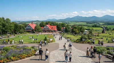
サッポロさとらんど は、札幌市東区にある施設。正式名称は札幌市農業体験交流施設。「さとらんど」の名称は一般公募によってふる里の「さと」とランド(大地)の「らんど」を合わせた造語であり、市民に愛される里づくりを願って名づけられた。

ここから 1.3 km

厚別川

自然

厚別川

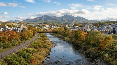
厚別川(あつべつがわ、あしりべつがわ)は、北海道札幌市および江別市を流れる石狩川水系豊平川の最大の支流で、一級河川である。札幌では2番目に長い川で、長さは41kmある。

ここから 2.3 km

伏籠川

自然

伏籠川

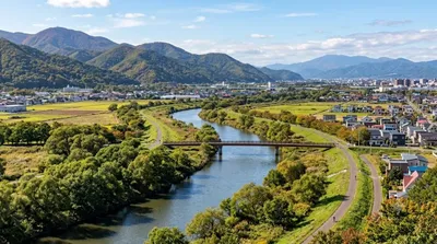
伏籠川(ふしこかわ)は、北海道札幌市を流れる石狩川水系茨戸川支流の一級河川。伏篭川、伏古川とも書く。

ここから 5.9 km

発寒川

自然

発寒川

発寒川(はっさむかわ)は、北海道札幌市と石狩市の境界を流れる河川で、石狩川水系伏籠川支流の一級河川である。

ここから 7.0 km

創成川

自然

創成川

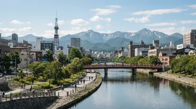
創成川(そうせいがわ)は、北海道札幌市の中心を流れる石狩川水系伏籠川支流の一級河川に分類される、人工河川である。札幌市を東西に画する起点となっている。江戸時代に「大友堀」として作られ、1874年(明治7年)に「創成川」と改名された。長さ14.2km、流域面積は19.0km2ある。

ここから 7.5 km

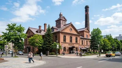
サッポロビール博物館

博物館・美術館

サッポロビール博物館

サッポロビール博物館(サッポロビールはくぶつかん)は、北海道札幌市東区にある企業博物館。サッポロガーデンパークにあり、日本国内で唯一となるビールに関する博物館になっている。

ここから 7.7 km